Director of Innovations and Impact
BAS Science Strategy Executive Group, Information Services team, Leadership teams, UK Polar Data Centre team, BAS Executive team
The UK Polar Data Centre (UK PDC) is the focal point for Arctic and Antarctic environmental data management in the UK.
Part of the Natural Environmental Research Council’s (NERC) Environmental Data Service and based at the British Antarctic Survey, we coordinate the preservation and management of polar data from UK-funded research and support researchers in complying with national and international data legislation and policy.
Our skills and experience reflect the broad and multi-disciplinary nature of polar research that produces data from all the Earth’s spheres. We provide guidance on best practice throughout the data management life cycle from data planning to developing tools for data discovery and access.
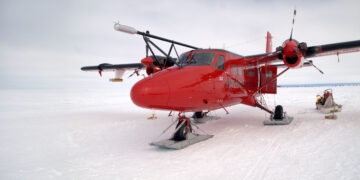
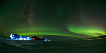
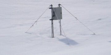
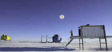
We also provide operational data services, supporting data capture and transfer systems on UK polar stations, ships and aircraft. BAS ships and aircraft undertake some scientific research outside of polar and other ice-covered regions, therefore we also hold data from other areas within the British Antarctic Survey’s operational footprint.
Our main goal is to ensure that environmental data collected in the polar and cryospheric regions are made available and accessible to all in order to fully realise their reuse potential. This aim is in accordance with the NERC data policy and, for the Antarctic, upholds Article III 1(c) of the Antarctic Treaty. Whilst making data open, we also work to ensure that the original data collectors are properly acknowledged when data are reused through the creation of dataset citations.
As a data centre based primarily on geographical extent rather than scientific discipline we work closely with data scientists at the other NERC data centres and cooperate in many of our data management activities. The UK PDC represents the UK internationally on polar data issues through the SCAR Standing Committee on Antarctic Data Management and the IASC sponsored Arctic Data Committee.
The UK Polar Data Centre is always willing to develop new collaborative partnerships to improve polar data practices and encourage new research through data reuse and sharing.
General data enquiries can be directed to PDCServiceDesk@bas.ac.uk
We welcome feedback from our users, please forward any comments or suggestions to PDCServiceDesk@bas.ac.uk.
Any formal complaints on provision of data and information services, please view the BAS complaints page.
Director of Innovations and Impact
BAS Science Strategy Executive Group, Information Services team, Leadership teams, UK Polar Data Centre team, BAS Executive team
Head of Polar Data Centre
Data Manager
Administrator
Data Manager
Administrator
Scientific Data Manager Biological Focus
Scientific Data Manager Geophysics
Senior Scientific Data Manager, Marine
Data Manager
Marine Data Manager
Senior Data and Systems Architect
Administrator
Scientific Data Manager Biological Focus
Bringing together metadata from many years of BAS marine research creates a clearer record of scientific cruises and the data collected
The Polar Airborne Geophysics Data Portal provides direct access to airborne survey data.
An online data access tool to discover, visualise and access atmospheric and space weather data holdings from the polar regions.
Explore the UK Polar Data Centre metadata catalogue. Please use the system to search for polar datasets held by the UK Polar Data Centre
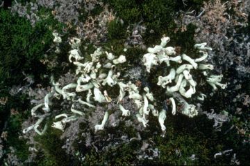
A collection of dried plant specimens from the Antarctic, sub-Antarctic and surrounding continents.
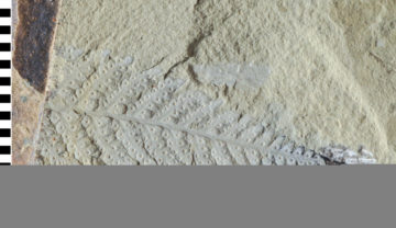
Contains over 200,000 individual rock and fossil specimens collected from Antarctica and the sub-Antarctic islands and thousands of meters of sediment core from the surrounding seabed.
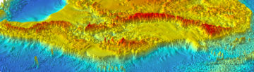
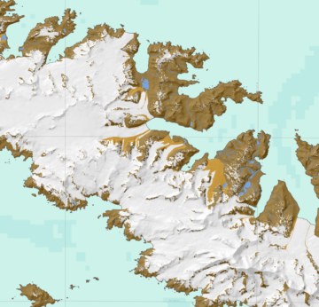
Bedmap is a collaborative community that has produced maps and datasets of Antarctic ice thickness and bed topography
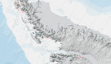
A project to compile over 50 years of geological field data into new geological maps has already seen the publication of six new sheets.
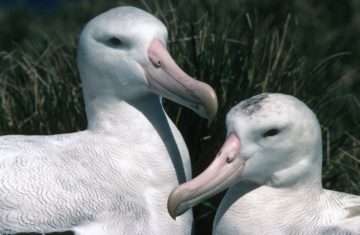
View and download biological datasets held by BAS, including the Antarctic Plant Database
The SCAR ADD is a seamless compilation of topographic data for Antarctica to 60°S. It is the place to go to get data such as Antarctic coastline or contours for working in desktop GIS.
The objective of this project was to investigate whether magnetic reconnection in the space environment has a characteristic scale in space and time by characterising statistically the spatial and temporal structure of the footprint of reconnection as observed in the Earth’s ionosphere.
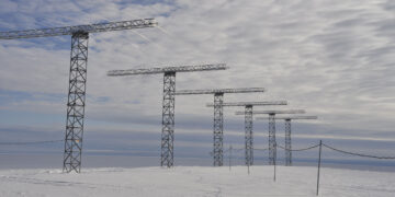
Access data from the Low Power Magnetometer (LPM) network
Long-term meteorological and ozone observations and data help determine the causes of climate change in the polar regions.
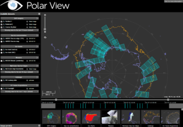
Polar View delivers information about sea ice direct to ships operating in the Southern Ocean.
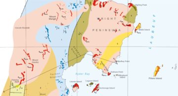
Visualise and download topographic, management and scientific data for South Georgia.
DATA AS ART visualises science data to create stunning and thought-provoking artworks, using real Antarctic data-sets that explain important and exciting science stories.

Bedmap2 is a suite of gridded products describing surface elevation, ice-thickness and the sea floor and subglacial bed elevation of the Antarctic.
Bedmap3 is a collaborative community project with the aim to produce a new map and datasets of Antarctic ice thickness and bed topography.
In a significant milestone for Antarctic research, detailed and extensive information on ice thickness and bed topography is now available for the first time in a centralised and standardised format. […]
Arctic sea ice summer minimum 2014: A scientific perspective The Arctic sea ice minimum marks the day – typically in September – when sea ice reaches its smallest extent at […]
Scientific Data Manager Claudia Havranek, UK Polar Data Centre, presents the Port Lockroy Data Portal. Port Lockroy, Goudier Island, is a popular Antarctic tourist destination. Over the past 20 years […]
PURPOSE This report has been written for an internal polar community audience, and is directed to the Diversity in UK Polar Science Initiative (DiPSI) steering committee. It aims to highlight […]