Scientific Data Manager Geophysics
Polar Airborne Geophysics Data Portal
Polar Airborne Geophysics Data Portal
The Polar Airborne Geophysics Data Portal is a map-based app that allows users to discover the polar airborne geophysics datasets that are stored at the UK Polar Data Centre.
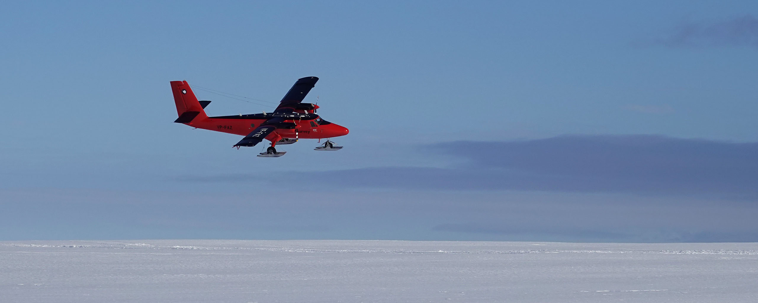
Through its user-friendly interface, the user can have a first quicklook at the data and discover the great resource that we hold. The data consists of airborne gravity, magnetics and radar data acquired in Antarctica. These data provide insights on which kind of rocks are present under the ice, whether they are dense or not for instance. The radar data gives information about the ice layering, the ice surface and thickness as well as the rock topography. In total, it’s almost 450,000 line kilometers of data that is freely available.
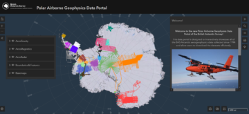
The Polar Airborne Geophysics Data portal
The Polar Airborne Geophysics data Portal is accessible here. An associated Geophysics Book offers a user’s guide, gives the list of data available and provides interactive codes to help you use the data with Python (or Matlab).
To better understand how to use the portal, have a look at the following video:
For more information:
Frémand, A. C., Bodart, J. A., Jordan, T. A., Ferraccioli, F., Robinson, C., Corr, H. F., … & Vaughan, D. G. (2022). British Antarctic Survey’s Aerogeophysical Data: Releasing 25 Years of Airborne Gravity, Magnetic, and Radar Datasets over Antarctica. Earth System Science Data Discussions, 1-49. https://doi.org/10.5194/essd-14-3379-2022
View the BAS Polar Airborne Geophysics Data Portal to access datasets and metadata.
-
-
Aethalometer AE-33
Read more of: Aethalometer AE-33Measures particulate carbon in the atmosphere that derives from combustion.