Marine Metadata Project
Marine Metadata Project
What the marine metadata project does
The marine metadata project aims to make BAS marine data easier to find and use.
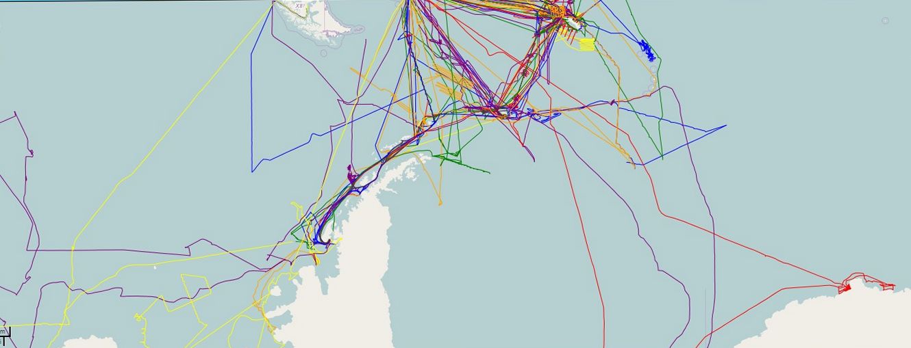
BAS vessels have collected many different marine datasets over several decades. Managing these datasets is a huge task that will take years to complete. This project focuses on cruise metadata. This is the information about when, where, who, and why each cruise took place, and what activities were carried out.
Previous work has been done by the UK Polar Data Centre team, BAS Archives Service, and the British Oceanographic Data Centre (BODC). However, the overall picture of cruises and datasets is still incomplete. The project is filling these gaps and creating a system that allows users to view and access many types of marine data.
Why this matters
Bringing together metadata from many years of BAS marine research creates a clearer record of scientific cruises and the data collected. This improves access and makes it easier for scientists to discover, share, and reuse datasets.
Better organisation of marine metadata also supports long-term data preservation, helping to protect valuable research for the future.
How the project works
The database structure was designed in 2014 and since then metadata from scientific expeditions has been compiled and added to the database annually. The UK Polar Data Centre is developing an API and a web-based user interface to discover and search marine science expeditions (cruises) and scientific instrument deployments (events) taking place on ships operated by BAS.
- Development: by August 2014, the backend database and processing systems were complete. The web frontend is still in development, with a planned release in 2015. Progress has been paused while work is carried out on the BAS public website redevelopment.
- Functions: the portal will let users view available datasets, cruise details, and equipment event summaries.
- System design:
- event database and API
- mapping server
- web frontend
Science objectives
The project aims to:
- collect and unify BAS cruise metadata
- provide map-based tools for viewing cruise routes and events
- support long-term discovery and use of BAS marine research data