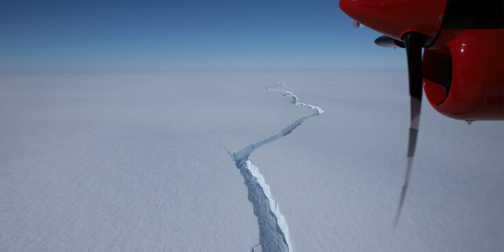
New study provides clues to predicting iceberg calving
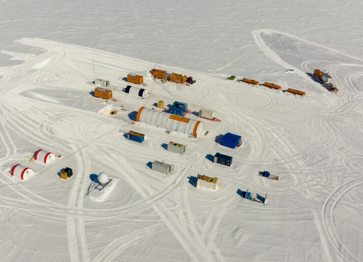
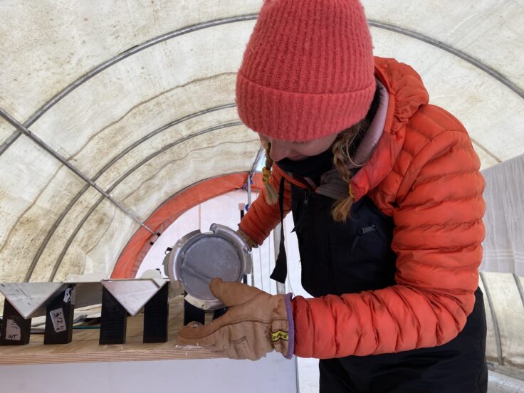
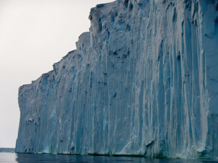
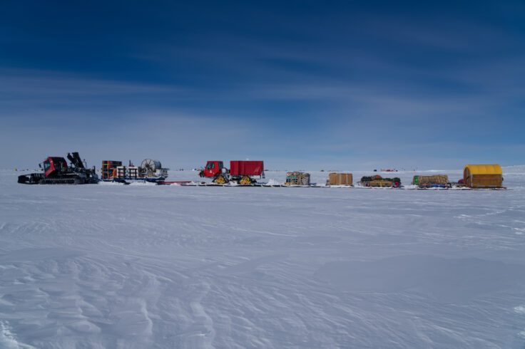
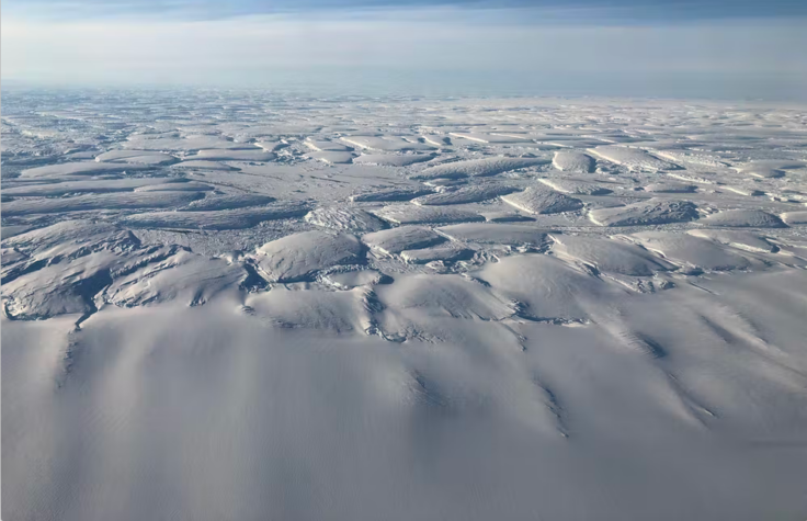
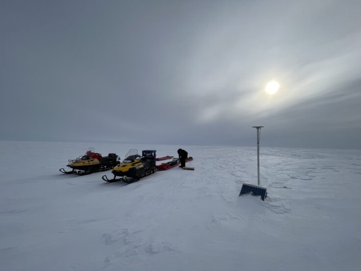
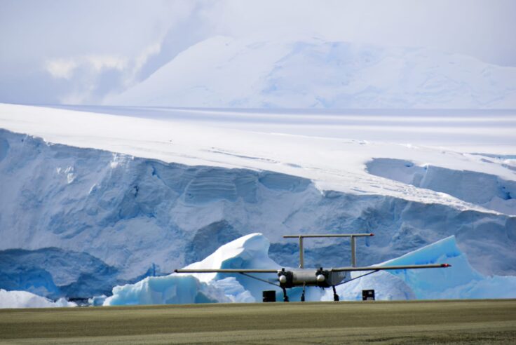
A new study on Antarctica’s Brunt Ice Shelf has revealed that surface melting and seawater infiltration can have dramatically different effects on the structural strength of floating ice shelves.