Scientists have discovered a landscape of rocky hills and smooth plains beneath the remote Thwaites Glacier in West Antarctica. A team of researchers used seismic imaging to map the area where the ice sits on the bed, giving new insights into the future of this enormous glacier and how it may respond to environmental change. Results are presented at the European Geosciences Union (EGU) meeting in Vienna this week.
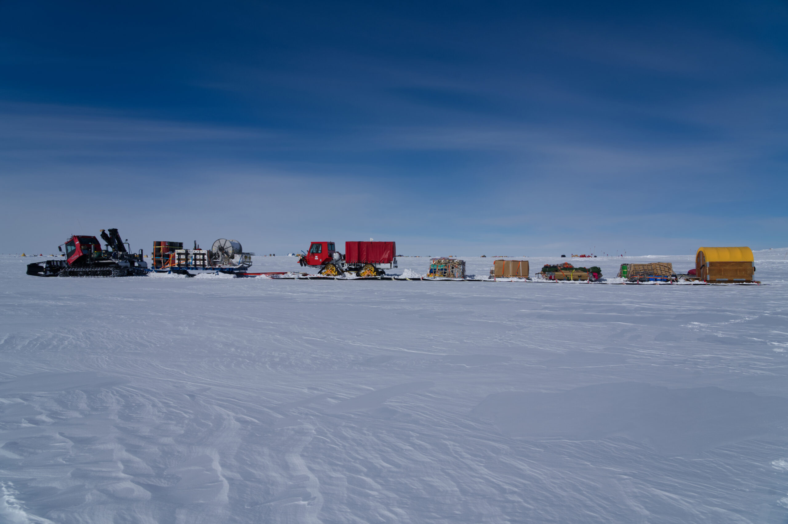
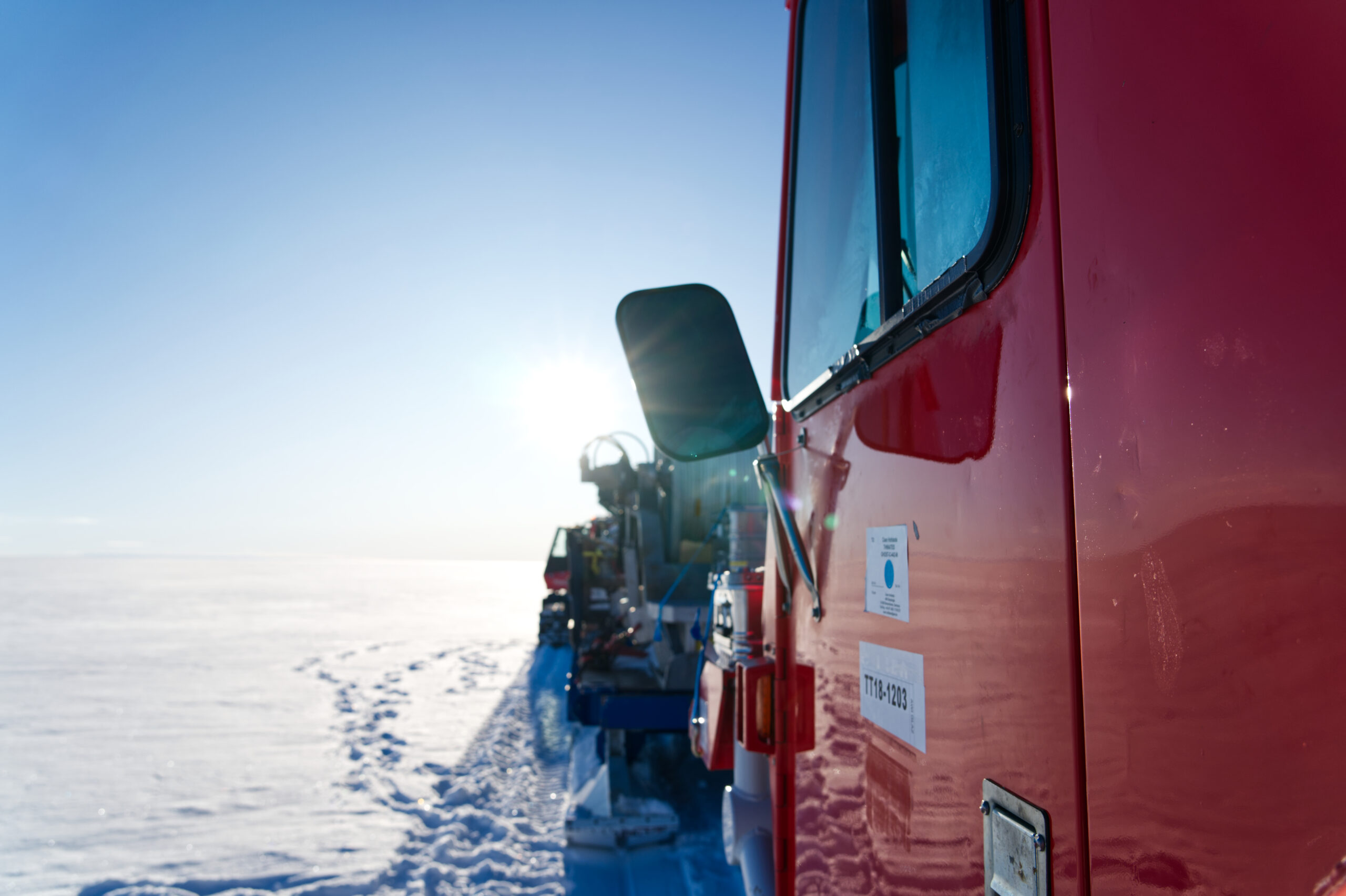
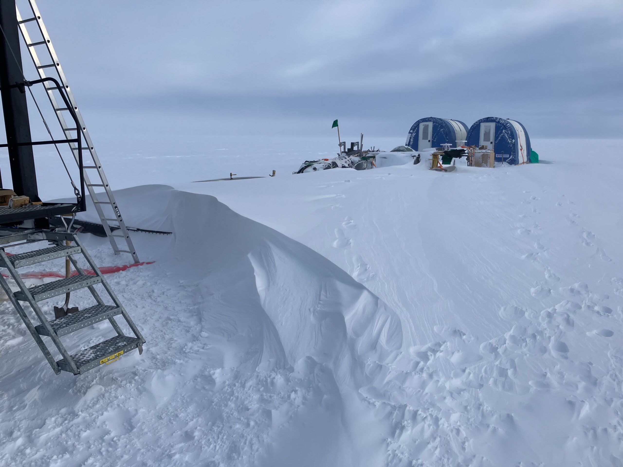
Thwaites Glacier is the size of the UK (or the US state of Florida) and is extremely remote; the study sites on the glacier are more than 1,600 kilometres (around 1000 miles) from both the UK’s British Antarctic Survey (BAS) Rothera Research Station and the US Antarctic Program’s (USAP) McMurdo Station. Getting scientists and support staff to the field sites involves transferring people and equipment through multiple camps, specialised tractors pulling multiple sleds on an extended trek (called a traverse), and several different types of aircraft to place the teams on the most interesting parts of the glacier.
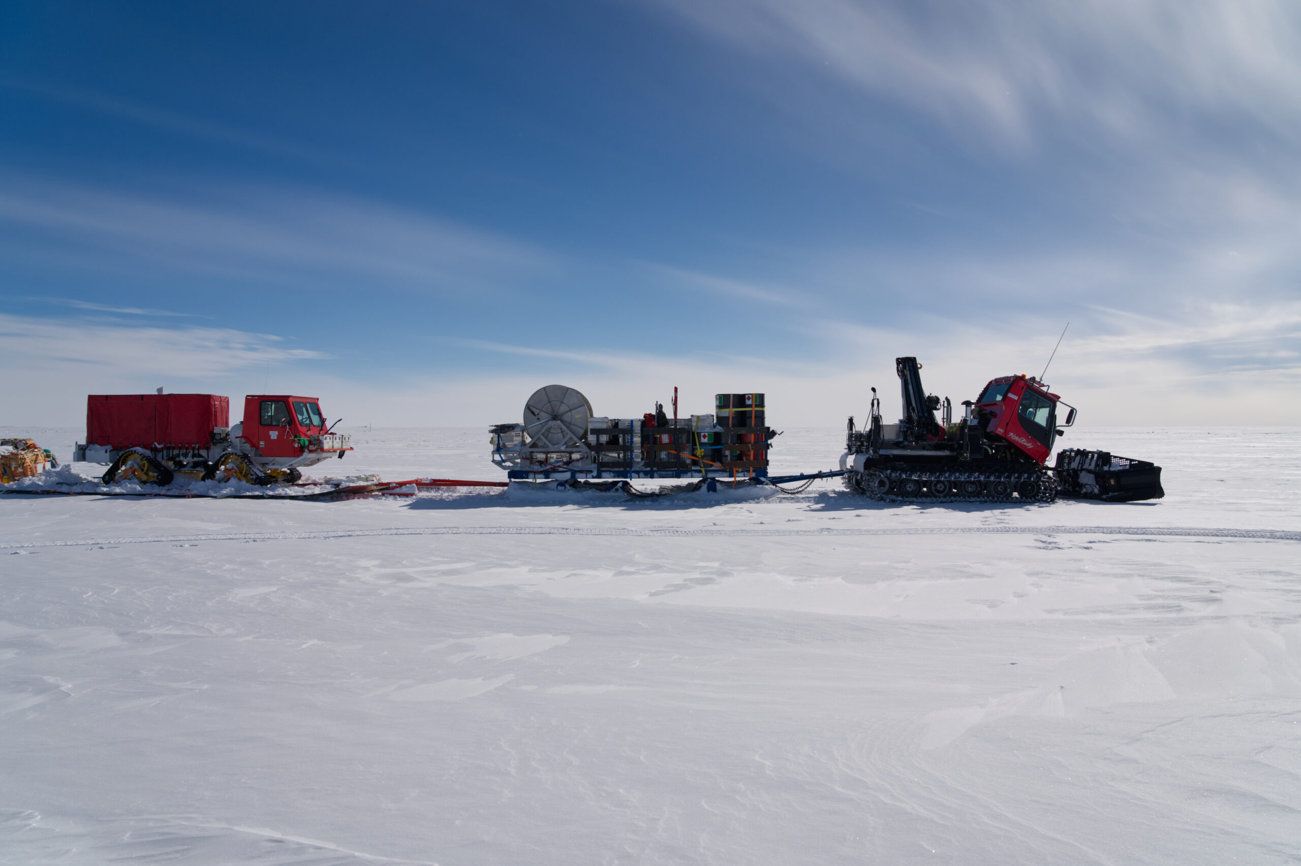
Specialised tractors pull multiple sleds on an extended trek (called a traverse), and several different types of aircraft to place the teams on the most interesting parts of the glacier. Ole Zeising, AWI
Understanding the shape and properties of the bed underlying Thwaites is important because it affects how quickly the glacier will retreat and contribute to global sea level rise. The UK-US-led International Thwaites Glacier Collaboration is studying this rapidly changing glacier, the collapse of which could significantly affect global sea levels. It already accounts for around four per cent of global sea-level rise —an amount that has more than doubled since the mid-1990s. If Thwaites Glacier collapsed sea levels would rise by approximately 60cms, with disastrous consequences for people around the world, living near the coast.
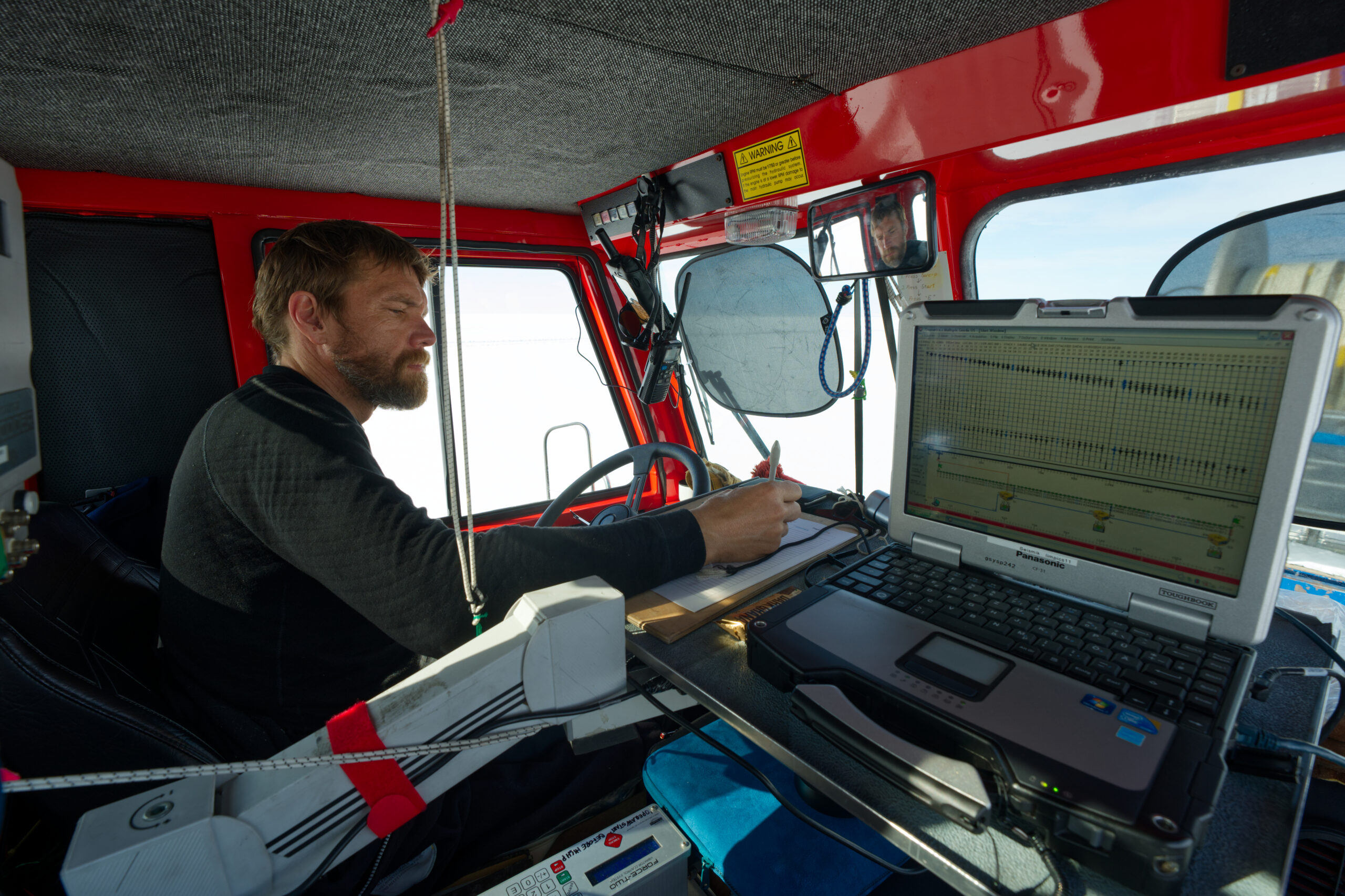
Over two field seasons on Thwaites Glacier in 2022-23 and 2023-24, a collaborating team of scientists from Germany’s Alfred Wegener Institute (AWI), Helmholtz Centre for Polar and Marine Research, conducted the first ever long-distance seismic imaging of an ice stream, using an overland traverse led by BAS. They collected hundreds of kilometres of seismic data, around the distance between the UK cities of Cambridge and Newcastle, or New York and Boston in the US, that reveals the character both along and across the ice bed beneath Thwaites Glacier.
The researchers set up a seismic vibrator source, a ‘plate’ which is pushed onto the snow surface and set in a rattling motion that varies from slow to fast over several seconds. This creates seismic waves which can travel through the two kilometres of ice and penetrate 200 metres further into the bed underneath the glacier. The echoes from the waves were recorded with 480 geophones along a 1.5-kilometre cable, recording reflections within and underneath the ice. The system was towed over 350 kilometres, collecting data continuously as it went.
Researchers conducted a long-distance seismic imaging of an ice stream, using an overland traverse led by BAS.
The study revealed a varied landscape, alternating between relatively flat and smooth regions a few kilometres long, where soft sediments and bodies of water prevail, and regions of more pronounced topography, with bumps and hills tens to hundreds of metres high. These hills are often capped by hard bedrock outcrops that impede the ice flow.
The seismic imaging also revealed patterns within the ice above the bed. These ‘englacial reflections’ were seen most commonly over areas where the bed is rougher. This indicates ‘deformation’ is occurring in the ice above these rough parts of the bed and the ice crystals are reorienting themselves to the prevailing stresses. This means that ice is much softer in one direction, but much harder in another. The researchers say it is critical consideration for ice-flow models, to accurately represent the dynamic behaviour of the glacier.
Alongside this seismic imaging, following the same traverse, another team collected high-resolution swath radar – a tool which provides a detailed local map of the bed underneath the ice, comparable to satellite images of the Earth surface. By combining both data sets, the researchers were able to define the three-dimensional extent of some of the features of the ice bed that influence the glacier’s flow, such as sediment-filled basins and troughs.
The system was towed over 350 kilometres, collecting data continuously as it went. Ole Zeising, AWI.
The characteristics of the ice bed are one of the most important inputs into ice sheet models that predict future ice sheet loss. Right now, models try to estimate the properties of the bed by using satellite images to calculate the surface velocity of the glacier. With these new findings, the models will be able to provide more accurate results for the way ice flows over the rough and flat, or hard and soft, stretches of the bed and improve our understanding of how Thwaites Glacier will respond to a warmer ocean and faster melting at its front.
Prof. Olaf Eisen, glaciologist at the Alfred Wegener Institute, who led the seismic study, says:
“This is the first time we’ve had a such a clear picture of such a large part of the ice bed. This has huge ramifications for modelling ice flow dynamics, and understanding how much Thwaites Glacier might contribute to sea level rise, which will impact coastal communities around the world, especially in the northern hemisphere.”
Warm ocean water from the Amundsen Sea circulates under the floating edge of the glacier, causing it to melt from underneath. This melting lifts the ice from the bedrock below, causing it to flow faster and eventually retreat into areas of deeper and thicker ice, where its retreat will speed up even more.
The characteristics of the ice bed are one of the most important inputs into ice sheet models that predict future ice sheet loss. Olaf Eisen, AWI.
Understanding the shape of the bed underlying Thwaites is therefore important because it affects how quickly Thwaites will retreat and contribute to sea level rise.
Dr Robert Larter, a geophysicist at British Antarctic Survey and UK lead for the ITGC says:
“Knowledge of the characteristics of the bed that Thwaites Glacier flows over has been the most important missing bit of information needed to improve predictions of how fast it will lose ice in the future. These new results start to fill that gap.”
“Comparison of recent bathymetry survey data with radar profiles over the glacier showed similarities between the bed Thwaites Glacier has already retreated from and the remaining bed. New seismic data collected offshore confirm strong similarities, but data from the bed beneath the glacier itself are the most important information needed by numerical ice sheet models that predict future ice loss.”
This research is part of the International Thwaites Glacier Collaboration (ITGC) GHOST project, which uses geophysical data to look at the characteristics of the ice and bedrock of Thwaites.
Dr Alex Brisbourne, a glacier geophysicist and a Principal Investigator on the GHOST project, has just returned from 12 weeks of working on Thwaites Glacier in Antarctica, where temperatures reached as low as minus thirty degrees. He says:
“These data are a key part of the GHOST team’s large-scale investigation of what controls the flow of Thwaites Glacier. This has been a long time in the making and required an incredible effort across the board, from the scientists and field staff both on and off the ice, to the logistics and support staff at home and in Antarctica. Better knowledge of what lies beneath Thwaites allows us to make more reliable projections of how it will respond to the warming climate and ocean. These findings take us one step closer towards understanding what the future might hold for Thwaites.”
If you missed the EGU press conference on this story, you can watch it online here.