The ground beneath Antarctica’s most vulnerable glacier has been mapped for the first time, helping scientists to better understand how it is being affected by climate change. Analysis of the geology below the Thwaites Glacier in West Antarctica shows there is less sedimentary rock than expected – a finding that could affect how the ice slides and melts in the coming decades.
“Sediments allow faster flow, like sliding on mud,” says Dr Tom Jordan, a geophysicist with the British Antarctic Survey (BAS), who led the study. “Now we have a map of where the slippery sediments are, we can better predict how the glacier will behave in future as it retreats.”
The distribution of sedimentary rocks beneath the Thwaites glacier is included in a new map of the geology of the region produced by the BAS researchers and published in the journal Science Advances. The findings are important because the glacier, which is the size of Great Britain or the US state of Florida, is one of the fastest changing ice-ocean systems in Antarctica.
The Thwaites glacier’s grounding zone — the point where it meets the seafloor — has retreated 14 km since the late 1990s. Much of the ice sheet is below sea level and susceptible to rapid, irreversible ice loss that could raise global sea-level by over half a metre within centuries.
The new analysis is based on airborne surveys using aircraft equipped with radar which can see through the ice to the rocks below, as well as sensors which can map minute variations in gravity and magnetism hundreds to thousands of metres below the ground and seabed on which the glacier rests. The researchers then use these multiple data sources to compile a 3D picture of features, including the type and extent of different rocks.
Jordan says: “The integrated nature of the airborne surveys was one of the keys to this research. Each sensor on the aircraft provided an important but incomplete part of the picture, but by bringing them all together we could provide the detailed map of the underlying geology”.
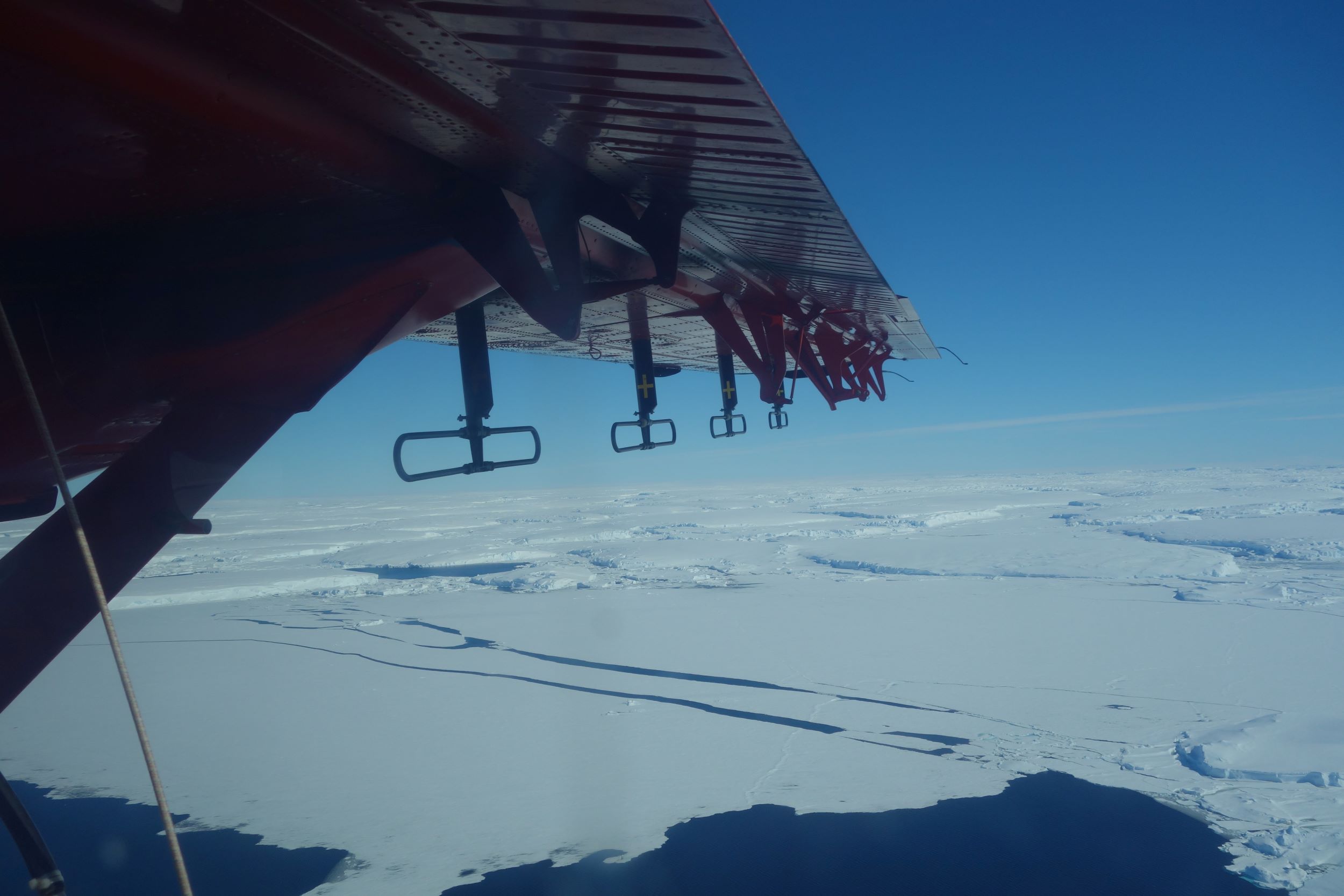
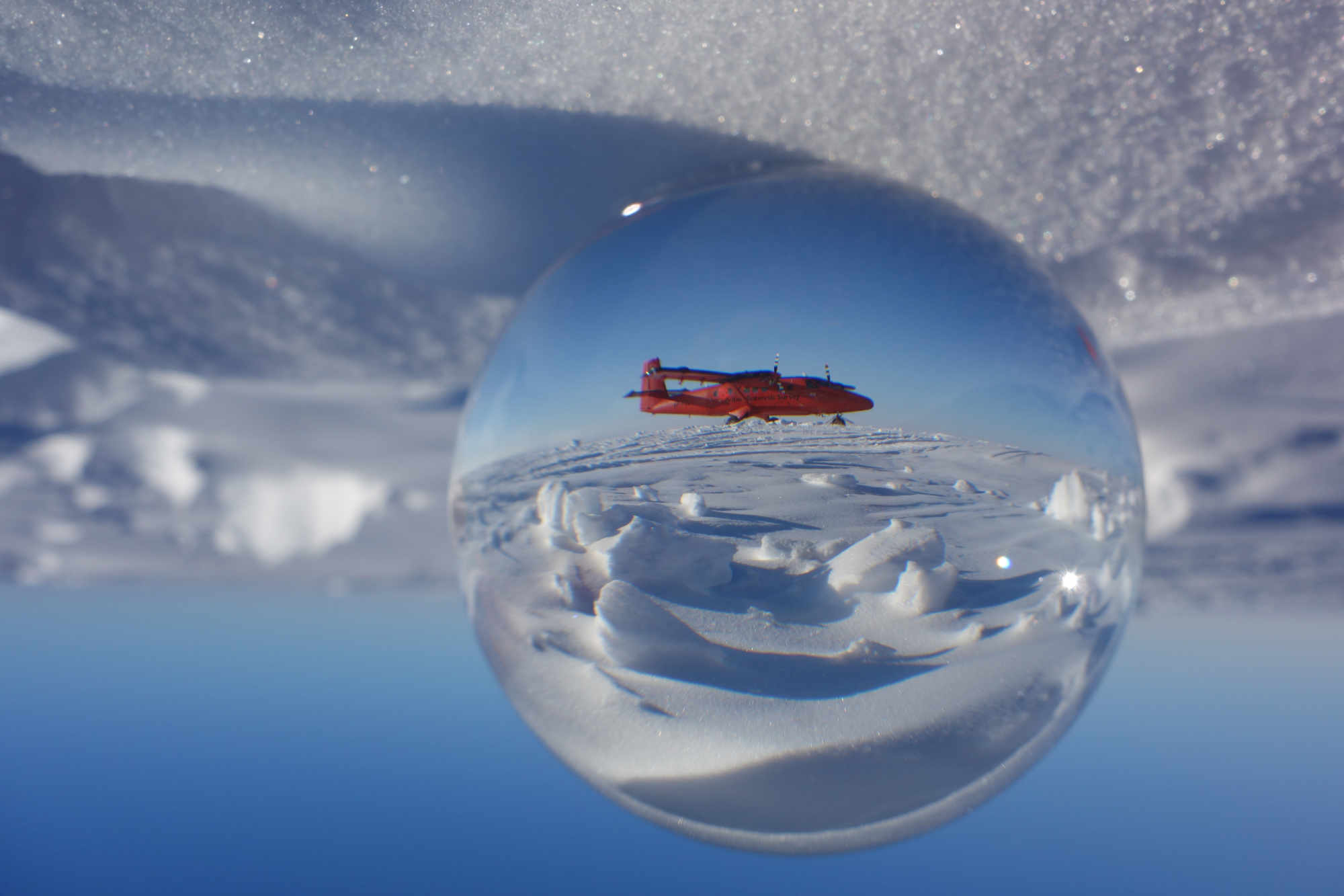
British Antarctic Survey Twin Otter aircraft flies over Thwaites Glacier with instrumentation attached to the wing (Tom Jordan / BAS)
In doing so, the study effectively turns back the geological clock to examine what happened when New Zealand was ripped away from Antarctica about 100 million years ago – long before the Thwaites glacier was formed.
Because the base of Thwaites Glacier lies far below sea level, researchers had expected that thick sediments would have been deposited there over the subsequent millions of years Similar analysis has been done on some other Antarctic glaciers, showing that these other systems were predominantly underlain by thick sediments.
But the aircraft data suggests that only about a fifth of the ground below the glacier is sedimentary rock. These lie in a series of basins between 80 and 200 km long and about 30 km wide. The rest is made up of other types of geological bodies, including granite peaks and other hard rocks. The scientists think that these sedimentary basins were once much larger, but they have been ground down to the bedrock by movement of the glacier.
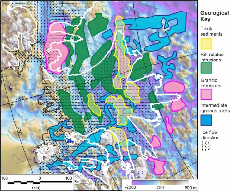
A detailed geological map of under Thwaites Glacier shows the surprising low areas of thick sediments, and the long strips of rift related intrusions (Tom Jordan / BAS)
It’s not yet clear how this new knowledge of the subglacial geology will affect estimates of ice flow and loss from Thwaites and other glaciers. The study does show that the geological landscape has a direct control on the basal shear stress, which influences how fast ice can flow into the ocean. Members of the research team will now carry out more detailed studies of these processes. Modellers may also be able to use the new data to make more reliable projections of future ice loss.
Jordan says: “We hope that by showing the detailed geology, and how it correlates with the basal friction, future models of glacial retreat will have lower uncertainty, as the controls of the basal processes will be better understood.”
He adds: “No single scientific study could ever match the sheer scale and challenge of climate change. But it is the incremental building of all the individual scientific studies like this that allows us to understand and tackle that challenge.”
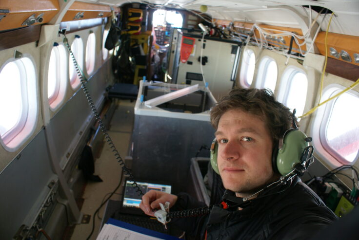
Dr Tom Jordan in the BAS Twin Otter aircraft, flying above the Thwaites Glacier (Tom Jordan / BAS)
Glaciologist Dr Sarah Thompson, co-author on the paper, said:
“The integrated approach used in this study has significant potential for successful application elsewhere in Antarctica, enabling us to explore other potentially vulnerable regions where current knowledge is sparse.”
Geological sketch map and implications for ice flow of Thwaites Glacier, West Antarctica, from integrated aerogeophysical observations
by Tom A. Jordan*, Sarah Thompson, Bernd Kulessa, and Fausto Ferraccioli is published in the journal Science Advances.
This work forms part of the International Thwaites Glacier Collaboration (ITGC), a $50 million joint U.S. and U.K. mission to learn more about Thwaites Glacier, its past, and what the future may hold.
Thwaites Glacier, covering 192,000 square kilometres (74,000 square miles) – an area the size of Florida or Great Britain – is particularly susceptible to climate and ocean changes. Computer models show that over the next several decades, the glacier may lose ice rapidly, as ice retreats. Already, ice draining from Thwaites into the Amundsen Sea accounts for about four percent of global sea-level rise. A run-away collapse of the glacier would contribute around an additional 65cm (25 inches) to sea-level rise over the coming centuries.
Find out more here: www.thwaitesglacier.org
The Natural Environment Research Council (NERC) is the U.K.’s main agency for funding and managing research, training and knowledge exchange in the environmental sciences. Our work covers the full range of atmospheric, Earth, biological, terrestrial and aquatic science, from the deep oceans to the upper atmosphere and from the poles to the equator. We coordinate some of the world’s most exciting research projects, tackling major issues such as climate change, environmental influences on human health, the genetic make-up of life on Earth, and much more. NERC is part of U.K. Research and Innovation, a non-departmental public body funded by a grant-in-aid from the U.K. government. Find out more at nerc.ukri.org.
The U.S. National Science Foundation (NSF) was established by the U.S. Congress in 1950 “to promote the progress of science; to advance the national health, prosperity and welfare; to secure the national defense; and for other purposes.” NSF is vital because its supports basic research to create knowledge that transforms the future. With an annual budget of $8.5 billion (fiscal year 2021), NSF funds discovery, learning, innovation and research infrastructure to boost U.S. leadership in all aspects of science, technology, engineering and mathematics (STEM) research and education. In contrast, other federal agencies support research focused on specific missions, such as health, energy or defense.
Through its Office of Polar Programs (OPP), the NSF manages the United States Antarctic Program (USAP). Under Presidential Mandate, the OPP coordinates all U.S. research on the southernmost continent, funds Antarctic research carried out by university researchers nationwide, operates three year-round Antarctic research stations and two research vessels and provides or coordinates all of the logistical support required to make the science possible.