Ice Sheet Modelling
Digital Twins of the Polar Regions
PolarDT – Digital Twin of the Polar Region
- Start date:
- 1 December, 2021
- End date:
- 30 November, 2030
What are digital twins?
The PolarDT project is developing digital twins of the Antarctic and Arctic environments, research stations, ships, and autonomous vehicles. A digital twin is the timely synchronisation of information between the digital and physical version, making them ’twins’.
These tools make it possible to test “what if” questions and generate results far more quickly than traditional computer models. By working with global research partners, the aim is to contribute to the creation of a digital twin Earth.
Why this matters
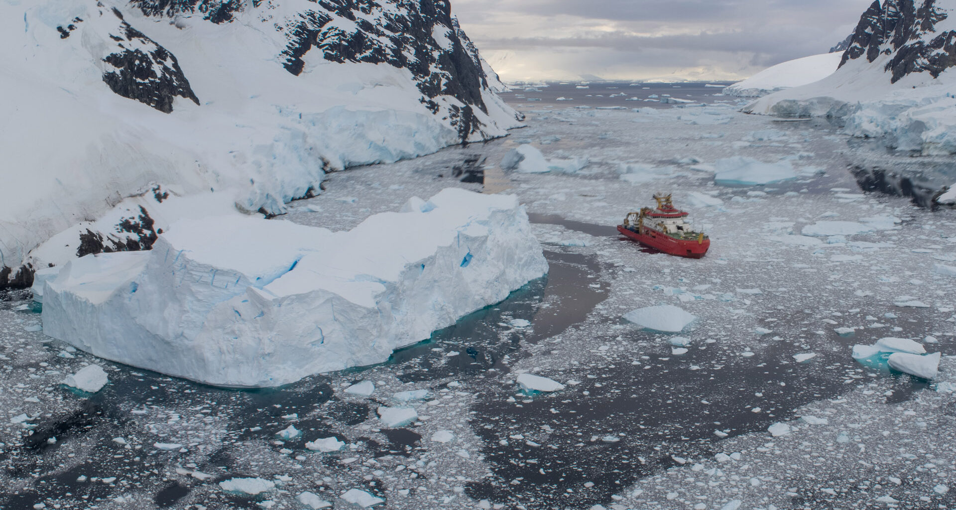
Climate change is rapidly reshaping the polar regions. Animals such as polar bears, walrus, and caribou depend on sea ice, which is disappearing at an accelerating rate. Understanding and forecasting these changes is vital for biodiversity, conservation, and global weather and climate predictions.
Digital Twins can also improve how polar operations are planned. They can help reduce fuel use, lower carbon emissions, and make logistics more efficient, if designed appropriately — key steps towards British Antarctic Survey’s (BAS) net zero carbon goal by 2050.
How the project works
The project applies artificial intelligence, deep learning, and Earth observation to improve predictions and support decision-making. What is key for a digital twin is the integration of all of these digital components listed into a bigger digital infrastructure, with data/information from one supporting the other. i.e., Not as standalone capabilities.
Key areas include:
- Sea ice forecasting (IceNet): A machine learning system trained on climate models and observations. It can predict sea ice conditions up to six months ahead, outperforming traditional methods.
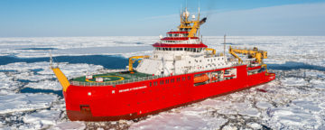
- Autonomous marine operations (AMOP): AI decision tools for managing BAS’s marine fleet, including the RRS Sir David Attenborough and autonomous vehicles such as Boaty McBoatface.
- Carbon-saving navigation (PolarRoute): Route planning software that balances speed with lower emissions. Even small route adjustments can reduce carbon use significantly.
- Ice sheet modelling and emulation: AI models that reproduce ice sheet simulations quickly and at low cost. This makes it possible to test many climate scenarios and produce probabilistic forecasts of sea-level rise.
- Earth observation and object detection: Machine learning applied to high-resolution satellite radar data. This allows accurate monitoring of sea ice and iceberg movement, supporting safe navigation and ecosystem studies.
- Both traditional modelling and AI emulation need to go hand-in-hand. Make WAVI.jl model better then learn on the output of that model to develop a low cost emulator.
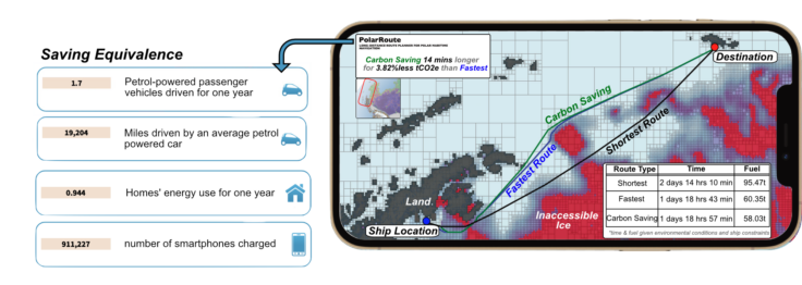
PolarRoute carbon saving routing example
Who is involved
The project brings together expertise in computer science, AI, marine operations, Earth observation, and polar science. BAS works with national and international research institutes and businesses to ensure the tools developed benefit both science and society.
A key legacy will be the creation of new datasets and digital platforms that support long-term research and decision-making in the polar regions.
-

-

Machine Learning Research Scientist
-

Machine Learning Research Scientist
-

Head of MAGIC
-

Machine Learning Research Scientist
Artificial Intelligence (AI) Lab, BAS Science Strategy Executive Group
-

AI Team Lead
-

Ice Sheet Modeller
-
Seeing double: Digital twins and net zero
Read more of: Seeing double: Digital twins and net zeroReaching net zero, as a country or a business, requires new measures, technology and innovations. Digital twins are an example of this; they can be a powerful tool to drive innovation and efficiency.