Geospatial Information Systems Lead
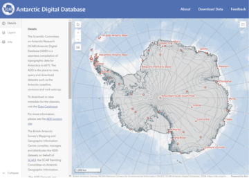
Antarctic Digital Database
Antarctic Digital Database
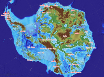
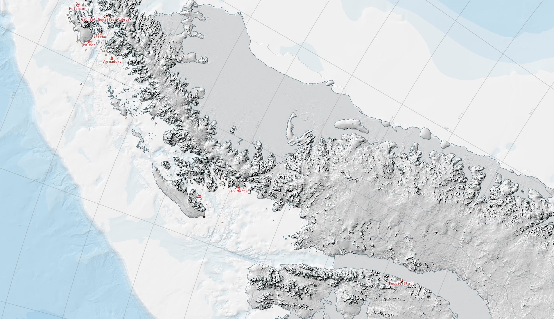
The Scientific Committee on Antarctic Research (SCAR) ADD is a seamless compilation of topographic data for Antarctica to 60°S. The ADD is the place to view, query and download datasets such as the Antarctic coastline, contours and rock outcrop.
The Mapping and Geographic Information Centre (MAGIC) compiles, manages and distributes the ADD datasets on behalf of SCAGI, the SCAR Standing Committee on Geographic Information.
ADD datasets and data access
Visit the Antarctic Digital Database map viewer to visualise the available data. Data can be downloaded through the data catalogue in GeoPackage or shapefile format.
Coastline and contour datasets are also accessible in the ArcGIS Living Atlas.
The datasets included in the ADD are:
- Coastline, including grounding lines and ice shelf fronts
- Rock outcrop
- Contours
- Lakes
- Moraine
- Streams
- Seamask
- ADD data limit at 60°S
All datasets are in WGS84 Antarctic Polar Stereographic projection, EPSG 3031.
Data update schedule
Datasets within the ADD are reviewed on a regular basis, and updated accordingly. Any changes to datasets are released as new versions every 6 months. Where a dataset is not updated within this schedule, the most recent dataset will continue to be used.
Last release: 12th May 2026 – version 7.12.
Planned releases and data updates:
- 12th November 2026
Contributing to the ADD
The ADD is a service to the whole Antarctic science and logistics community, and as such we invite all users of the data to be active participants in improving its quality. Any inconsistencies can be reported via the web interface (the feedback button in the top navigation bar), or to the Mapping and Geographic Information Centre. Similarly, any new or updated data from users are welcome for potential future inclusion in the ADD. Please also contact us if you have any questions about the ADD generally.
Licensing
Data are made available under the Creative Commons Attribution 4.0 International (CC BY 4.0) licence.
When using the data, please refer to the data catalogue for the required citation for each dataset.
-

-

Geospatial Developer
-
Antarctic Digital Database – December 2024 update
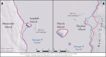
Read more of: Antarctic Digital Database – December 2024 updateContinuous mapping of Antarctica reveals new topographic features In November, we released version 7.10 of the SCAR ADD which included updated coastlines for the Alexander Island region, and new lakes, […]
-
Antarctic Digital Database – May 2021 update
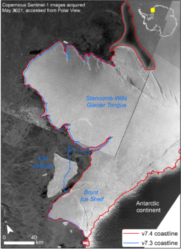
Read more of: Antarctic Digital Database – May 2021 updateWelcome to the new Antarctic Digital Database (ADD) blog series, updating our users about each update of the datasets in the ADD and about other pieces of work happening in […]
-
New interactive map of Antarctica available to all
Read more of: New interactive map of Antarctica available to allComprehensive digital maps of Antarctica are now available to all, following the latest update of the Antarctic Digital Database.
-
BAS mapping data in global collection
Read more of: BAS mapping data in global collectionThe latest British Antarctic Survey (BAS) Antarctic Digital Database (ADD) data will be included in a world leading collection of geographic information.
-
Updated Mapping Datasets for Antarctica
Read more of: Updated Mapping Datasets for AntarcticaA newly updated Antarctic Digital Database is released today (12 May 2020). Aimed at the science and logistics communities, the maps include updates to the ice shelf front around Thwaites […]