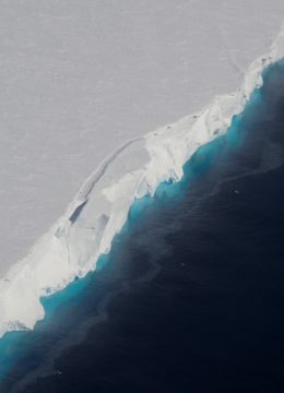
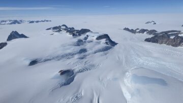
Airborne Remote Sensing, Arctic

Position
Lat. 0°0'0"N, Long. 0°0'0"E

Two of the four BAS Twin Otters are equipped with a full remote sensing capability, providing scientists with data on land, ice and sea.

This includes VNIR & SWIR hyperspectral imaging spectrometer (Specim Fenix), LWIR/thermal hyperspectral imaging spectrometer Specim Owl), a Scanning LiDAR with full waveform digitising (Leica Geosystems ALS50-II) all managed by the NERC Airborne Research Facility (at BAS), a fine-resolution large-format survey camera (Intergraph’s Z/I Imaging Digital Mapping Camera, DMC) managed by MAGIC (at BAS) and a dual magnetometer.

The imaging spectrometers collect narrow continuous spectra of reflected and emitted light from the surface below the aircraft. The scanning LiDAR provides a detailed measurement of the surface elevation. This suite of instruments are typically operated together and support a variety of application including surface geology, volcanology, terrestrial and marine ecology, glaciology and the mapping of minerals, crops, habitat and flood extent.

The duel magnetometer is used to measure the strength and direction of a magnetic field, which helps to detect different rock types. The Intergraph Z/I Imaging DMC is used to provide high resolution imagery for mapping and wildlife censuses.

Other instruments include a radio echo sounder which is used to bounce radio waves through ice to determine its thickness. Longer-term monitoring from the air can record the break-up of ice sheets or atmospheric changes. There are also sensors to detect the colour of the ocean – for assessing the amount of plankton – and several different types of cameras employed for mapping or counting the populations of birds, penguins or seals.

NERC Airborne Research Facility

https://www.bas.ac.uk/polar-operations/sites-and-facilities/facility/airborne-science-and-technology/