Aerogroup Gravity
Aerogeophysical survey of the Wilkes Subglacial Basin
WISE-ISODYN: Aerogeophysical survey of the Wilkes Subglacial Basin, East Antarctica
- Start date:
- 9 November, 2005
- End date:
- 27 January, 2006
The WISE-ISODYN (WISE: WIlkes Basin/Transantarctic Mountains System Exploration; ISODYN: Icehouse Earth: Stability Or DYNamism?) science programme was joint UK-Italian project between the British Antarctic Survey and the Italian Programma Nazionale di Ricerche in Antartide (PNRA).
The aim of the programme was to provide new boundary conditions to input into ice-sheet and paleoclimate models predicting the past and future stability of the East Antarctic Ice Sheet as part of the BAS GEACEP (Greenhouse to Ice-House Evolution of the Antarctic Cryosphere & Paleo-environment) Programme. The Italian component of this survey aimed at improving our understanding of the crustal composition and tectonic evolution of the Transantarctic Mountains and Wilkes Subglacial Basin region. In total, this field campaign collected ~61,000 line-km of aero-geophysical data (including gravity, magnetics and radar data) over the poorly-surveyed Wilkes Subglacial Basin, Dome C, the TransAntarctic Mountains, George V Land, and Norther Victoria Land.
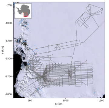
WISE-ISODYN survey flight coverage
List of airborne geophysics datasets available for this project includes:
Aeromagnetic data:
- Ferraccioli, F., Armadillo, E., Jordan, T., & Bozzo, E. (2020). Processed line aeromagnetic data over Wilkes Subglacial Basin (2005/06 season) (Version 1.0) [Data set]. UK Polar Data Centre, Natural Environment Research Council, UK Research & Innovation. https://doi.org/10.5285/45F8F9F0-0959-4044-B8FD-218F9D5C68C2
Gravity data:
- Jordan, T., Ferraccioli, F., Armadillo, E., & Bozzo, E. (2020). Processed line aerogravity data over Wilkes Subglacial Basin region (2005/06 season) (Version 1.0) [Data set]. UK Polar Data Centre, Natural Environment Research Council, UK Research & Innovation. https://doi.org/10.5285/81B419C4-0055-435A-9BED-F583F64BD25A
Bed and surface elevation picks data:
- Ferraccioli F., Corr H, Jordan T.A., Robinson, C., Armadillo E., Bozzo E. & Caneva G. “Airborne radar bed elevation picks across the Wilkes Subglacial Basin, 2005-2006” (2018) Polar Data Centre, Natural Environment Research Council, UK https://doi.org/10.5285/59e5a6f5-e67d-4a05-99af-30f656569401
Radar data:
- Ferraccioli, F., Corr, H., Jordan, T., Robinson, C., Armadillo, E., Bozzo, E., & Caneva, G. (2021). Processed airborne radio-echo sounding data from the WISE-ISODYN survey across the Wilkes Subglacial Basin, East Antarctica (2005/2006) (Version 1.0) [Data set]. NERC EDS UK Polar Data Centre. https://doi.org/10.5285/70ADAB3D-3632-400D-9AA1-DDF2D62A11B3
Data Portal
Airborne Geophysics data can also be accessed through the new Airborne Geophysics Data Portal.
More information about the Portal can be found here: https://www.bas.ac.uk/project/nagdp/#about
-
-
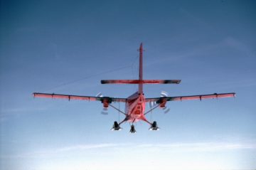
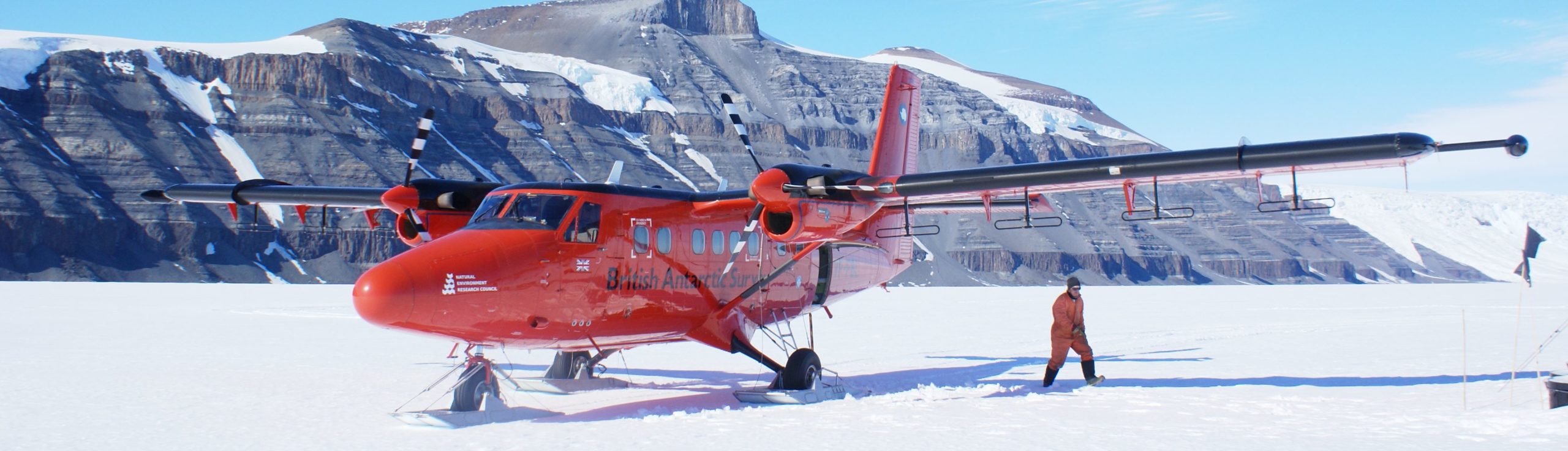
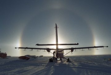
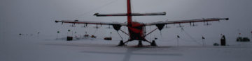
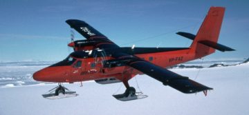
Twin Otter aircraft
Read more of: Twin Otter aircraftThe Twin Otter is a high-wing, twin-engine, turbo-prop aircraft. They are used all over the world and are known for their rugged construction, reliability and short take-off and landing performance.
-
Aerogravity system
Read more of: Aerogravity systemBAS has developed aerogravity systems that can be mounted in its geophysical survey aircraft, or in a UAV. Over 100,000 km of gravity data has been collected since such systems were first deployed in 1993.
-
Polarimetric Radar
Read more of: Polarimetric RadarThe radar system is composed of a complex waveform generator, signal processor, data handler and data store.