Going South
Adequate preparatory training and instruction are vital for the success and safety of Antarctic operations.
Everyone working in or visiting the Antarctic, on land or on polar ships, must satisfy British Antarctic Survey (BAS) requirements for medical fitness and training.
Antarctic Pre-Deployment Training
Everyone travelling to the Antarctic region (“going South”) must complete an Antarctic pre-deployment training (PDT) course. The course may include in-person and online components, such as:
- station specific briefings
- first aid
- personal survival techniques
- wellbeing
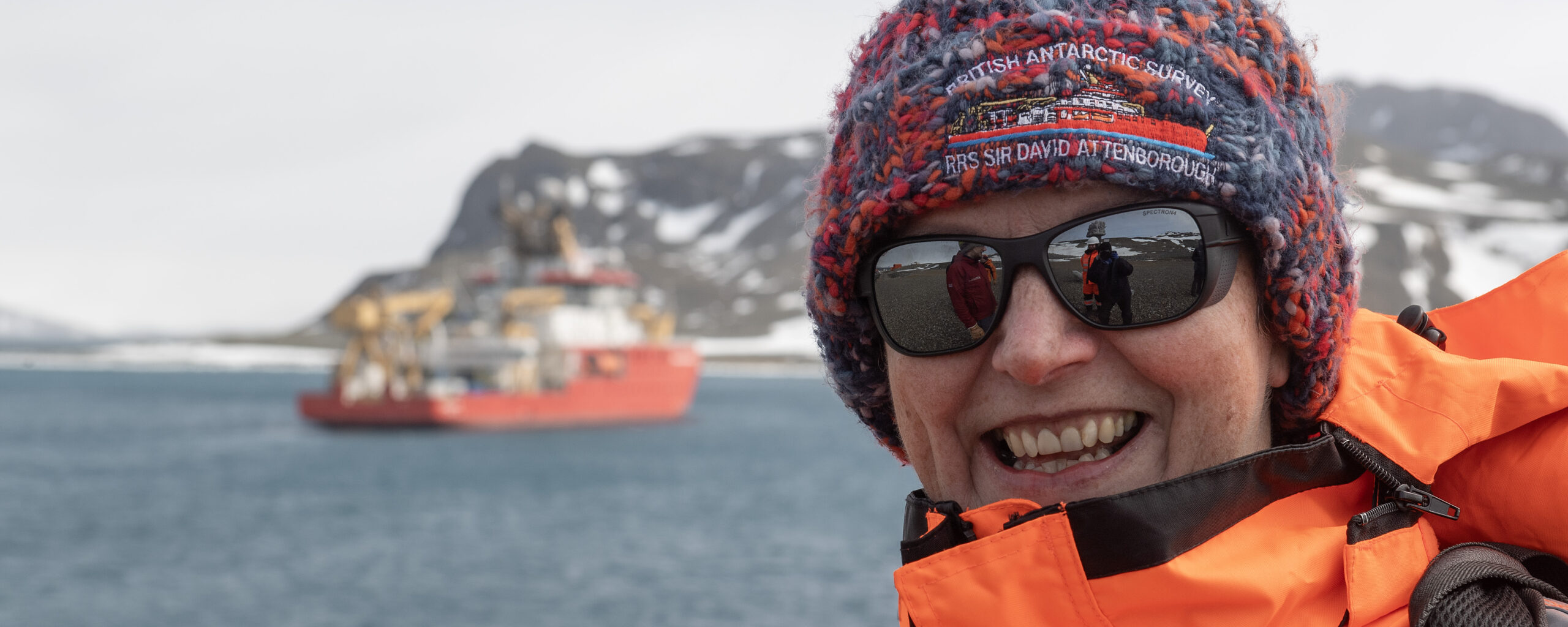
RRS Sir David Attenborough
If you’re due to be sailing on RRS Sir David Attenborough, there are training and safety courses that must be completed before departure.