Collaborations
British Antarctic Survey (BAS) is a world leader in polar science. We have decades of experience working in some of the planet’s most challenging environments. We combine scientific excellence with world-class logistics and research support, with a track record as a reliable international partner.
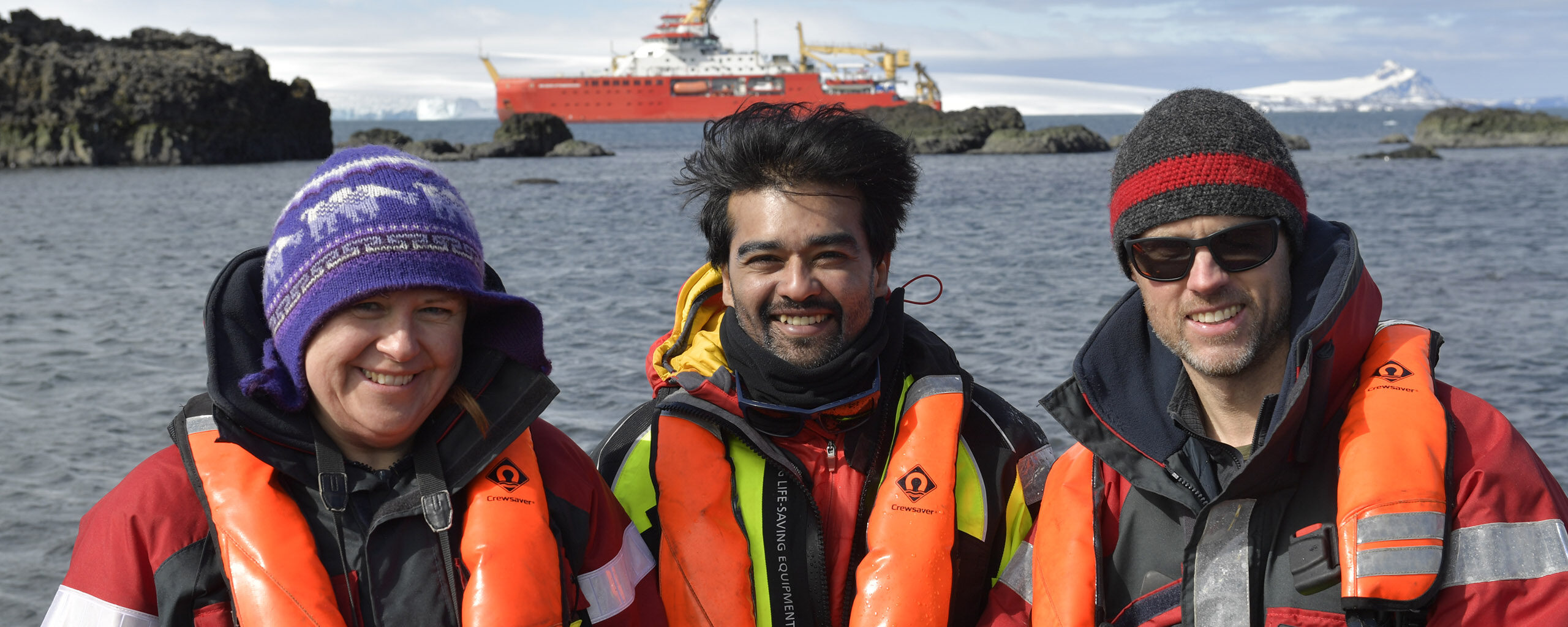
We work with partners around the world to tackle local, regional and global challenges. From the ocean floor to the edge of space.
Our partners include over 40 UK universities, numerous UK research organisations, more than 120 international research organisations, industry, NGOs, UK government departments and national governments.
Why collaborate with us
Polar regions are critical to understanding our changing planet. They influence global climate, sea levels, and ocean circulation. No single nation can study all of Antarctica alone. Collaboration is essential.
BAS offers partners:
- Scientific expertise across a range of disciplines
- Access to unique polar facilities including research stations, ships, and aircraft
- Experience working in extreme environments
- Long-term observations and derived data to inform forward climate and wider Earth system simulations, as well as decision making including policy
Our scientific expertise
Our teams study the polar regions and how change there has consequences across the planet.
We study ice sheets and climate change to understand how glacial ice respond to warming and what this means for future sea levels. Our work on past climates reduces uncertainty in predictions of future climate and ecosystems.
We research polar oceans and the polar atmosphere to understand how they drive ice melt, store heat and carbon, and influence global climate.
We study polar ecosystems to understand how climatate change and human activity, including fishing, affect marine life. This research shapes conservation strategies worldwide.
We also study space weather to how solar activity affects Earth’s atmosphere and climate. This helps governments and industries prepare for severe space weather that can disrupt satellite operations and power grids.
Who we work with
We collaborate with a wide range of partners.
We’re part of the Natural Environment Research Council (NERC) and UK Research and Innovation (UKRI). UK-based scientists can access our facilities through NERC funding opportunities.
International partners are central to our work. Major projects include the International Thwaites Glacier Collaboration with the US and other countries, and Beyond EPICA, a project to drill the oldest ice core ever recovered.
We work closely with the Netherlands Polar Programme, who operate the Dirck Gerritsz Laboratory at Rothera Research Station.
We also share logistics with other polar operators. For example, partnering with the Norwegian Polar Institute and Germany’s Alfred Wegener Institute for station resupply.
Governments and NGOs use our scientific evidence for policy development and practical management.
For example we advise the Government of South Georgia and the South Sandwich Islands (GSGSSI) and CCAMLR on marine issues in the Southern Ocean. This helps GSGSSI manage one of the largest marine protected areas in the world. We also contribute to global bodies including the Intergovernmental Panel on Climate Change (IPCC) and the Scientific Committee on Antarctic Research (SCAR).
Industry partners work with us where polar expertise is essential.
Meet the UK-Korea team drilling through unstable Thwaites Glacier
Opportunities for researchers
UK-based researchers can access our support through NERC funding opportunities including the Collaborative Antarctic Science Scheme (CASS) that helps scientists from UK research institutions run small fieldwork projects in Antarctica using any spare capacity in our existing field program.
Get in touch
If you’re interested in working with BAS, we welcome contact from researchers, organisations, and institutions worldwide.