Geospatial Information Systems Lead
South Georgia GIS
South Georgia GIS
- Start date:
- 1 October, 2008
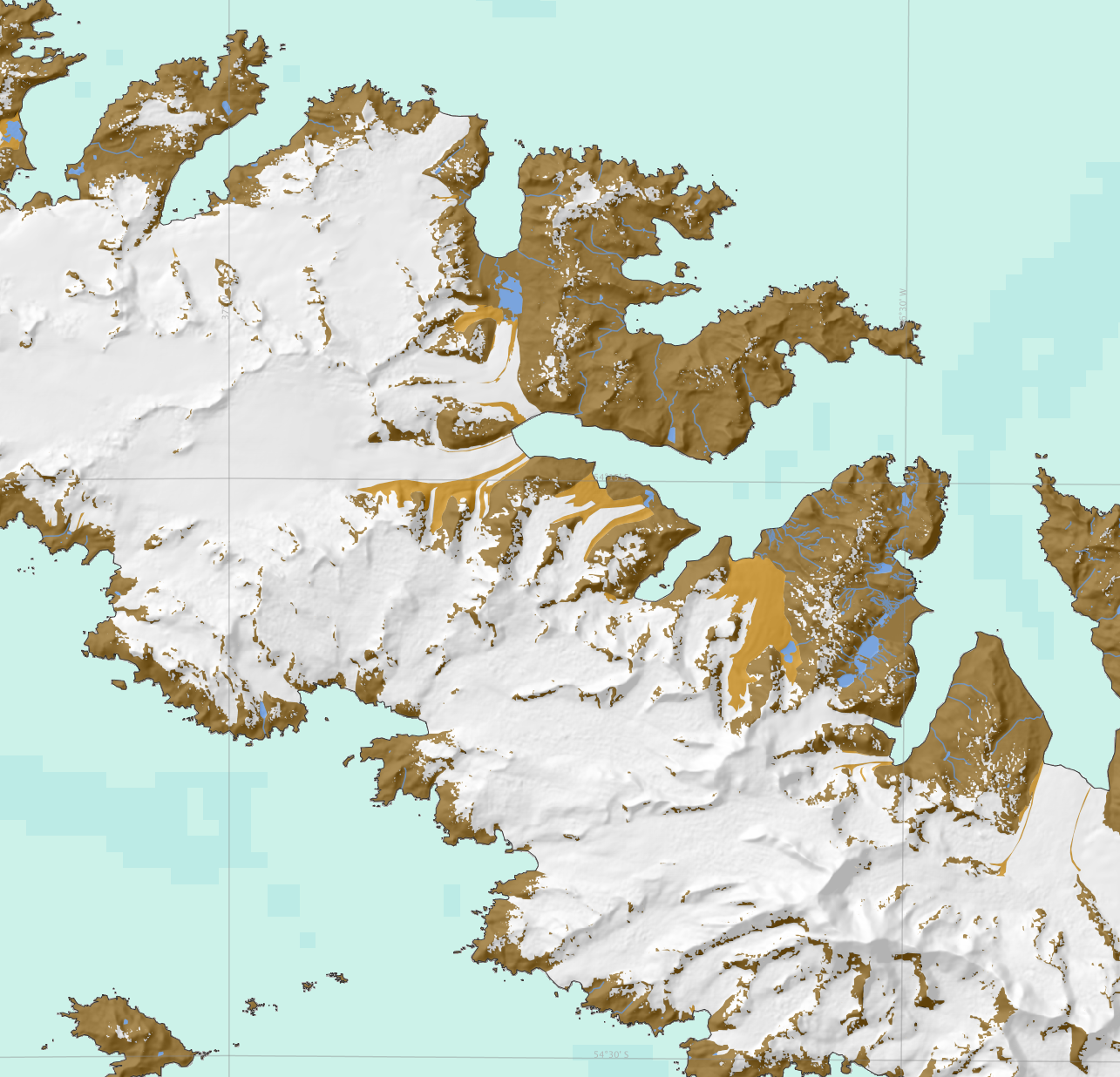
The South Georgia GIS is a collection of topographic, management and scientific data about South Georgia, hosted by BAS on behalf of the Government of South Georgia and South Sandwich Islands.
It is a free service to the science community, and is the place to visualise and download South Georgia-related data for onward work.
Version 3 was released in Spring 2017 and includes substantially updated topographic layers, as well as high-resolution data for Thatcher Peninsula, the Busen region, Barff Peninsula and Bird Island.
Accessing the South Georgia GIS
Visit the web-based viewer to visualise the data, or the thematically organised download repository where the data is freely available to download.
Contributing to the South Georgia GIS
We invite all users of the data to be active participants in improving its quality. Any inconsistencies can be reported via the web interface (the feedback button in the top navigation bar), or to the Mapping and GIS Team. Similarly, any new or updated data from users are welcome for potential future inclusion in the South Georgia GIS.
Licensing and citation
Please refer to the information in the download repository for details.
Contact
Questions about the service and data should be addressed to the Mapping and GIS Team.
-

-

GIS and Web Mapping Specialist