Researchers are using a new AI tool to detect icebergs in the Southern Ocean. This is the first step towards scientists being able to track the complete life cycle of most icebergs across Antarctica from satellite data. The study is published in the journal Remote Sensing of the Environment.
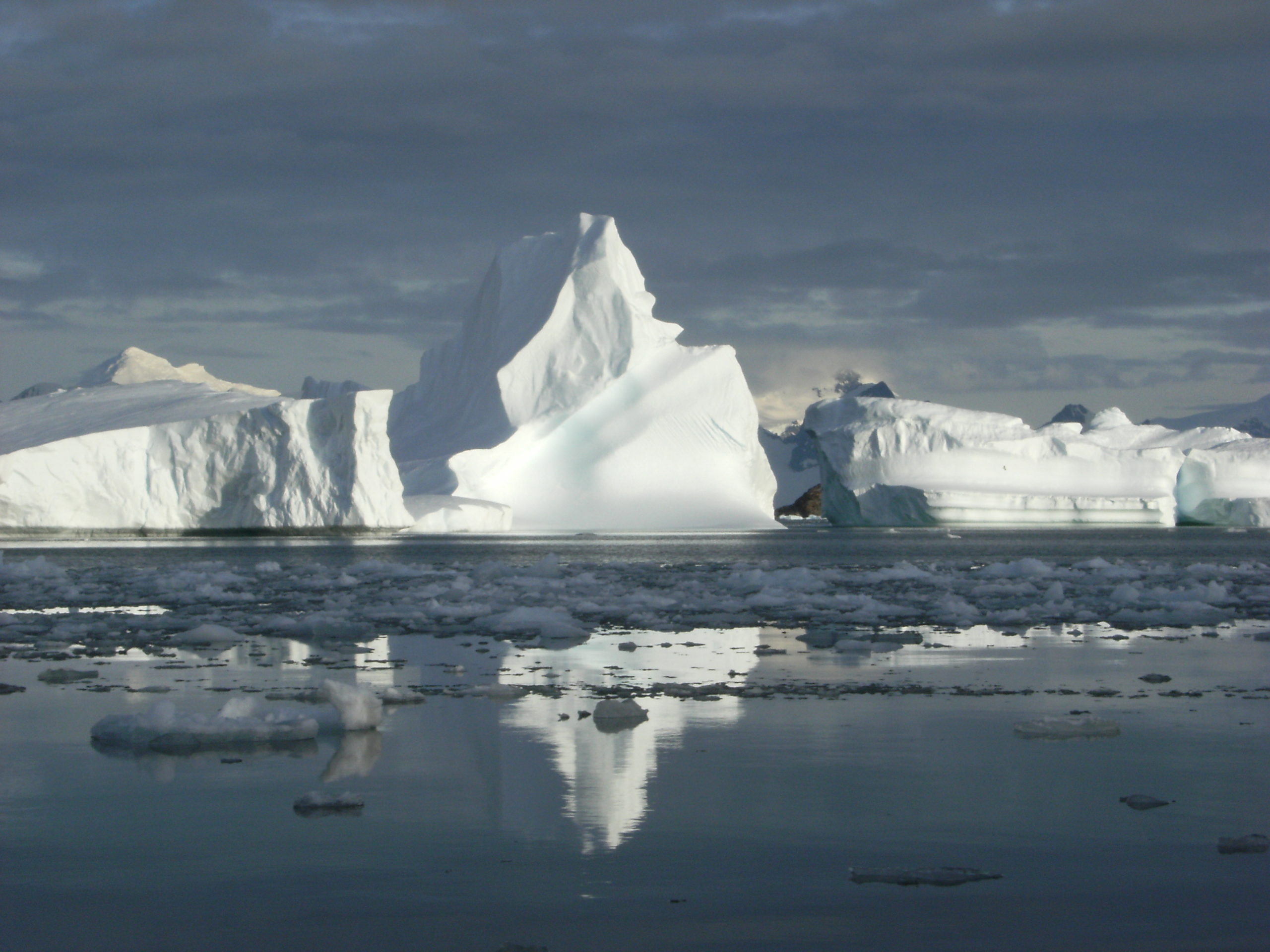
Icebergs play a key role in ocean dynamics. For example, as icebergs melt they release freshwater and nutrients into the ocean, affecting primary productivity, ocean circulation and the formation and break-up of sea ice. Icebergs also present hazards to ships, so accurate, up-to-date knowledge of where icebergs are, and how big they are, is critical.
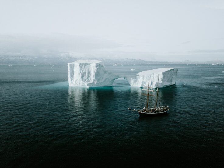
Icebergs in the Southern Ocean have calved off the Antarctica Ice Sheet. They can take decades to melt into the ocean. (Annie Spratt / Unsplash)
This new approach can identify icebergs in environments where there is a lot of sea ice – something that has not previously been possible. Using this tool, scientists will be able to spot icebergs when they calve, and track them throughout their lifecycle until their demise, building a more complete picture of iceberg dynamics in the Southern Ocean. Crucially, researchers will be able to monitor icebergs in locations with lots of sea ice, and close to calving locations, where icebergs are densely clustered together.
To detect the icebergs, the tool uses data from Synthetic Aperture Radar (SAR), an instrument fitted on to the Sentinel-1 satellites, which transmits a microwave signal from space and measures the intensity of the reflected radiation. Icebergs are good reflectors of microwaves because of the crystalline structure of the ice and snow on their surface, so they show up as strong, bright signals in the satellite images. Using microwaves also means these images can be collected day or night and through cloud cover which is common over the Southern Ocean.
For the study, which was funded by The Alan Turing Institute, researchers demonstrated the AI algorithm’s performance on different satellite images, taken over a 12-month period between October 2019 and September 2020. The tool identified almost 30,000 icebergs; most of these were relatively small, measuring 1km2 or less.
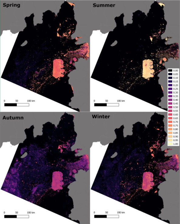
Frequencies of iceberg prediction within 50 run ensembles for four austral seasons. Note contrasting ranges of values. Contains modified Copernicus Sentinel data 2019–2020. (Ben Evans et. al. https://doi.org/10.1016/j.rse.2023.113780)
The researchers chose the Amundsen Sea Embayment, in West Antarctica, close to the calving front of Thwaites Glacier as their study site. The area has a mixture of open water, sea ice and a high density of icebergs of different sizes, making it the ideal site to test the AI tool. Understanding how the West Antarctic Ice Sheet, and this area in particular, will change is a high priority for researchers working to understand future sea level rise.
Ben Evans, part of the British Antarctic Survey (BAS) AI Lab and lead author on the paper, says:
“The technology we used to develop this tool is already used quite commonly for medical imaging and so we are excited to apply the same technology to the complex features seen in SAR satellite images of the polar oceans.
“The method we used is as accurate as the other alternative iceberg-detection methods, and outperforms most, without the need for human input. This means it can be easily scaled up beyond our study area and even provide near real-time monitoring.”
Calving of icebergs from the ice sheet into the Southern Ocean is one of the main ways that ice is lost from the Antarctic Ice Sheet. Increasing levels of calving could therefore signal an increasing contribution to sea level rise. The researchers hope to use this AI approach to identify any changes in the numbers, size and pathways of icebergs, which are all expected consequences of climate change. The team are currently analysing all available data since the start of the Sentinel 1 mission in 2014.
Scott Hosking, Head of the BAS AI Lab and Co-Director for the Turing Research and Innovation Cluster in Digital Twins at The Alan Turing Institute, says:
“Monitoring and predicting how many billions of tons of ice melts into the world’s oceans is a major challenge due to complex physics and the interplay between the ocean, ice and atmosphere. We’re developing a digital twin of Antarctica to help integrate and share data across our polar infrastructure and tools – from automated underwater vehicles to AI models – to support decision-making and keep the UK at the frontier of polar science.”
Unsupervised machine learning detection of iceberg populations within sea ice from dual-polarisation SAR imagery by Evans, B., et al is published in Remote Sensing of Environment.