Data Study Group: Automated monitoring of seals via high-resolution satellite imagery
Prem hosted at Data Study Group at the Alan Turing Institute
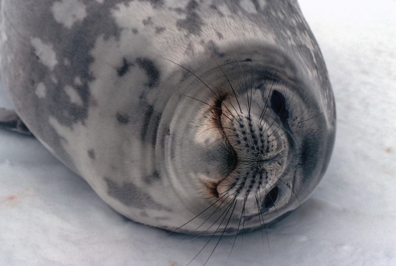
Seals from space: automated Antarctic ecosystem monitoring via high-resolution satellite imagery
Antarctic seal populations are potential indicators for the Antarctic ecosystem’s health. Very High Resolution (VHR) satellite imagery provides an opportunity to monitor these seals with greatly reduced cost and effort. British Antarctic Survey would like to investigate whether modern data science technology can be used for automatic counting of seals, or for constituent classification of the sea ice where seals breed and rest.
Useful Skills: Image Classification, Object Detection, GIS, Remote Sensing, deep learning, spatial modelling, satellite images
This work is supported by Wave 1 of The UKRI Strategic Priorities Fund under the EPSRC Grant EP/T001569/1, particularly the “AI for Science” theme within that grant and The Alan Turing Institute.