Research themes for a sustainable Earth
British Antarctic Survey (BAS) research has global implications for all inhabitants of the planet.
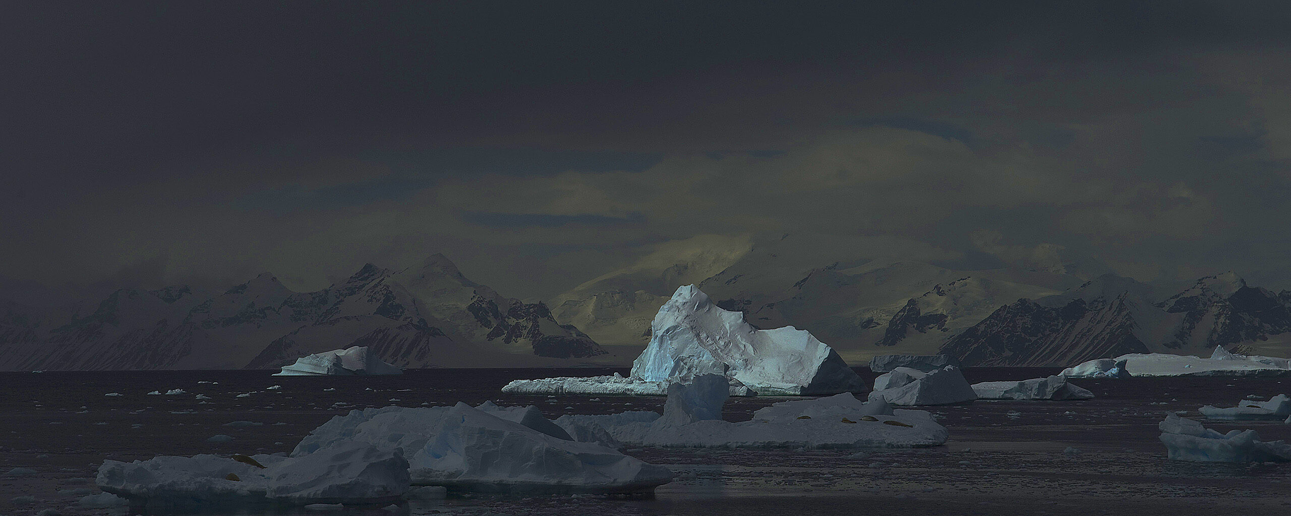
Our research focuses on five interconnected themes as part of its polar science for a sustainable planet initiative.
We aim to address significant knowledge gaps and create new, actionable information for science and society using our research in the polar regions.
Research themes
1. Climate change science for developing resilience
BAS research aims to help policymakers address the challenges of rapid and unprecedented change in polar weather.
The polar regions act as a brake on global warming by absorbing excess heat and carbon dioxide.
2. Conserving polar biodiversity
Polar ecosystems are changing rapidly due to shrinking sea ice, ocean acidification, pollution, and commercial fishing.
Our multidisciplinary approach predicts how polar ecosystems will respond. This provides scientific consensus for effective conservation policies.
3. Protecting coastal and technical infrastructure
Our scientists inform policies for mitigating the threat to coastal communities and infrastructure from rising global sea levels caused by melting polar ice.
And our space weather research is crucial for safeguarding essential satellite technology used for navigation and communication.
4. Sustaining livelihoods and societies
Polar and mountain regions support human livelihoods with hydropower, drinking water, and fishing. But these are threatened by climate change and overfishing.
We help decision-makers adapt to these changes and manage risks. Spin-offs include new low temperature enzymes and medicines.
5. Safeguarding our future
BAS focuses on understanding and predicting polar extreme events, and cascading effects, and climate ‘tipping points’, which could trigger large-scale, irreversible changes, such as the collapse of major ice sheets.
Our goal is to provide policymakers with high-quality evidence to make decisions about mitigation and adaptation.
Effective evidence
We are committed to providing policymakers and society high-quality evidence. Each of our 5 themes addresses a critical global challenge and aims to reduce uncertainty in scientific predictions.
The research often involves international collaboration, advanced numerical modeling, and long-term data collection from remote, inhospitable environments.
Our ultimate goal is to enable informed decision-making for a sustainable planet. The recovery of the Antarctic ozone hole demonstrates that research can lead to effective action to mitigate and even reverse negative impacts of human activity.
Strategic alignment
Our initiative aligns with similar strategies from the National Environment Research Council (NERC) and UK Research and Innovation (UKRI), of which BAS is a part.