As the Antarctic field season continues with the usual mix of exciting research programmes new enhancements to the online satellite image system that improves ship safety and efficiency are launched. The Polar View sea ice service, coordinated by the British Antarctic Survey, has greatly improved the service for the 2009/2010 Antarctic season. A combination of easier access through the new website and a significant increase in the number of images available means more real time sea ice information. The range of users of this service continues to expand, encompassing everything from science vessels to tour ships to those coordinating rescue efforts.

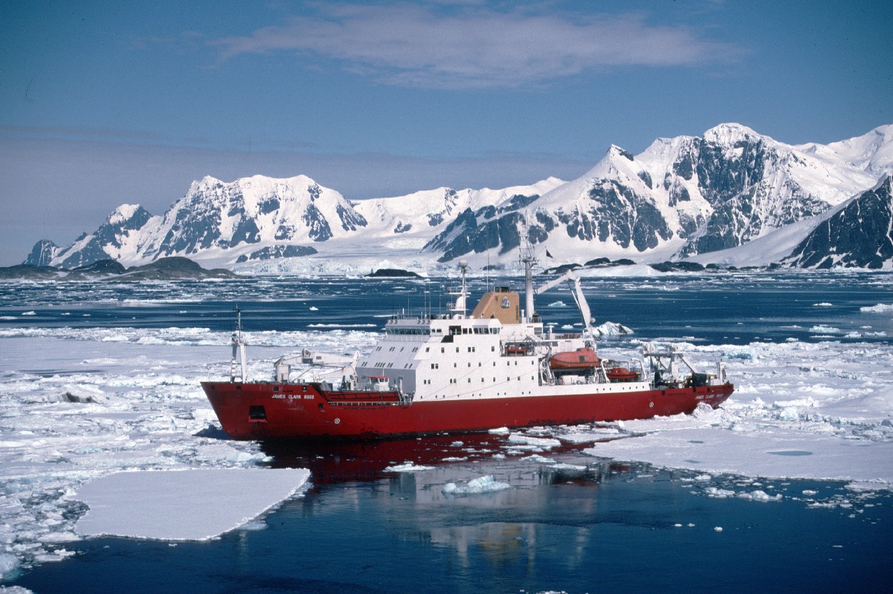
RRS James Clark Ross leaves Rothera Research Station during January 1998
The new website (www.polarview.aq) now provides an interactive map displaying the latest imagery and sea ice information. Simple tools allow users to zoom into their area of interest and see recent cloud free satellite imagery from the European Space Agency. In combination with other information provided by partners in Denmark and Germany, anyone can access an up to date picture of current sea ice conditions, even on ships with limited internet access. Thanks to the frequent satellite images being acquired for the European MyOcean project, users of the Polar View service benefit from refreshed sea ice information at least every three days. Keep an eye on the website for updates about new services in the pipeline. As well as easier access to sea ice drift information and iceberg locations, the Norwegian Meteorological Institute will shortly begin delivery of interpreted ice charts. All of which make for a more comprehensive sea ice service.