Giant iceberg breaks off from Antarctic glacier
Giant iceberg breaks off from Antarctic glacier
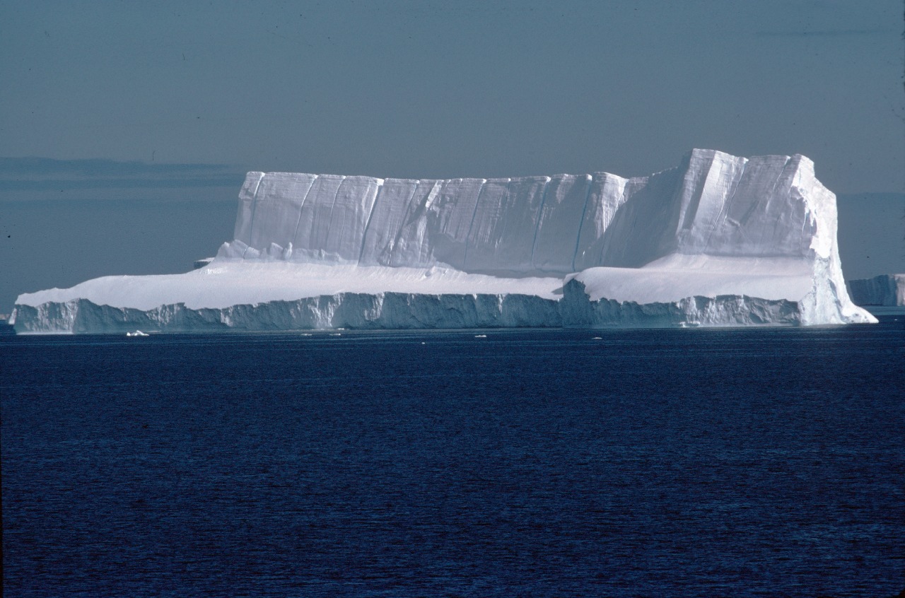
British Antarctic Survey (BAS) scientists have spotted a huge iceberg, which has broken off from Pine Island Glacier in West Antarctica. The iceberg, which is 34 km long by 20 km wide, covers an area nearly half the size of Greater London.
The iceberg was detected on 7 October as a scientist was studying satellite images collected from the European Space Agency’s satellite Envisat using the Polar View monitoring programme.
This calving event is part of a natural cyclic process. A 34-year long study of the glacier has shown that a large iceberg breaks off roughly every 5-10 years. The last was in 2001.
BAS scientists are monitoring the iceberg’s progress with collaborators in the US at the National Snow and Ice Data Center (NSIDC) and NASA. It has already moved more than 1 kilometre from the glacier edge.
Pine Island Glacier is of great interest to scientists worldwide as it has been thinning at a rate of more than 1 m/year and its flow rate has accelerated over the past 15 years. The location at which the glacier starts to float on the sea also retreated at a rate of more than 1 km/year during part of this period. Furthermore, the wider region within which Pine Island Glacier lies is the most rapidly changing portion of the Antarctic ice sheet and its future impact on sea-level rise could be very significant. Although these long-term regional changes are a cause for concern, the present iceberg calving event does not in itself signal a significant change in the ice sheet. During the intervening years the glacier front has advanced seawards at a rate of 3 km/year, so the calving of a 20 km-wide iceberg has simply shifted the glacier front back close to where it was after the calving event in 2001.
A study of historical satellite imagery extending back to 1973 by Dr Robert Bindschadler at NASA shows the glacier front has fluctuated around its present position since that time. Calving of large icebergs has no effect on sea level as the ice they contain is floating before they break away.
The satellite images that revealed the iceberg were obtained from the Polar View programme, which is supported by the European Space Agency and the European Commission.
Links to new images and updates will be posted here as they become available and additional images will be available on the following websites: Polar View www.polarview.aq and NSIDC http://nsidc.org/data/iceshelves_images