Survey Geologist
Geological mapping of British Antarctic Territory
Geological mapping of British Antarctic Territory
- Start date:
- 5 April, 2012
- End date:
- 7 August, 2016
Geological maps remain the most effective method of communicating large amounts of geological information.
A project to compile over 50 years of geological field data into new geological maps has already seen the publication of six new sheets.
These include a 1:625 000 map of the northern Antarctic Peninsula (eastern Graham Land) which is the first truly interpretative geological map of the Antarctic Peninsula as well as a combined terrestrial and offshore bathymetric map of the South Sandwich Islands intra-oceanic island arc.
These maps form the first part of a new series aiming to cover key areas of interest of British Antarctic Territory.
Maps are available to download via the data tab.
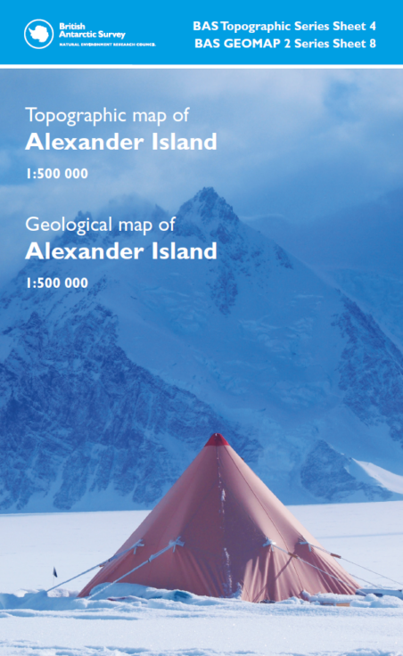
Topographic and Geological map of Alexander Island. Click map to download, link opens in new tab.
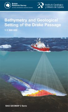
Bathymetry and Geological setting of the Drake Passage. Click map to download, link opens in new tab.
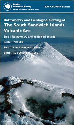
Bathymetry and Geological setting of The South Sandwich Islands Volcanic Arc. Click map to download, link opens in new tab.
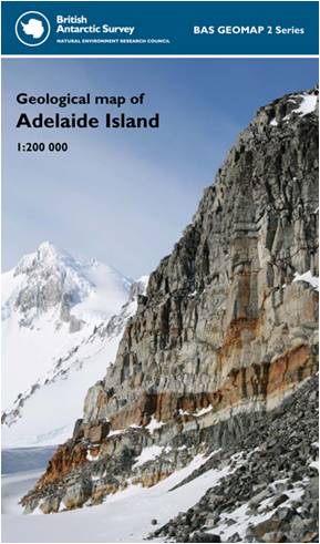
Geological map of Adelaide Island. Click map to download, link opens in new tab.
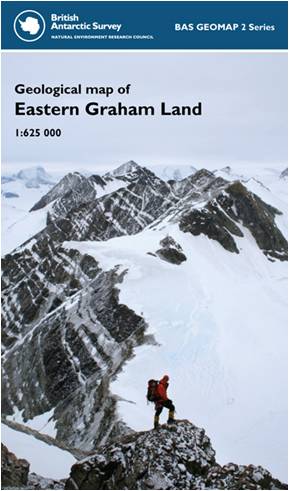
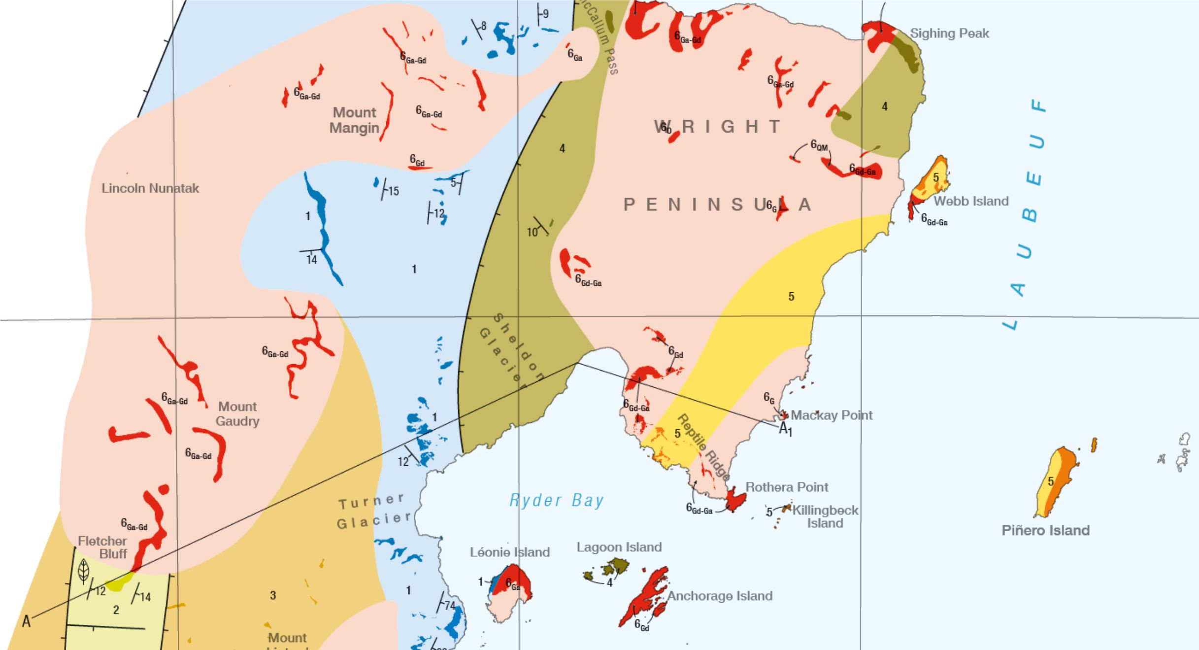
Geological map of Eastern Graham Land. Click map to download, link opens in new tab.
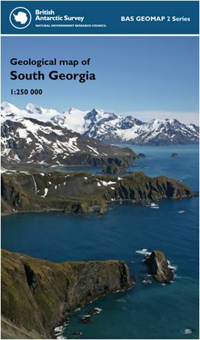
Geological map of South Georgia. Click map to download, link opens in new tab.
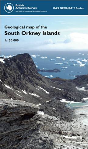
Geological Map of the South Orkney Islands. Click map to download, link opens in new tab.
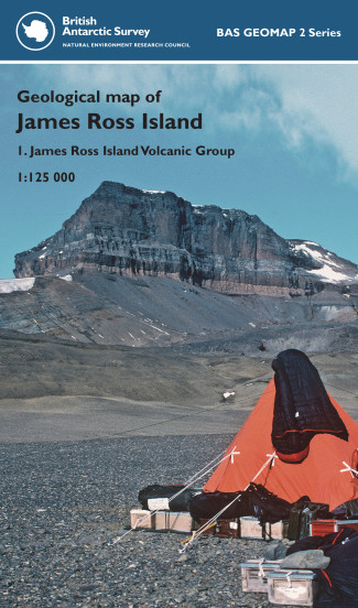
Geological map of James Ross Island. Click map to download, link opens in new tab.