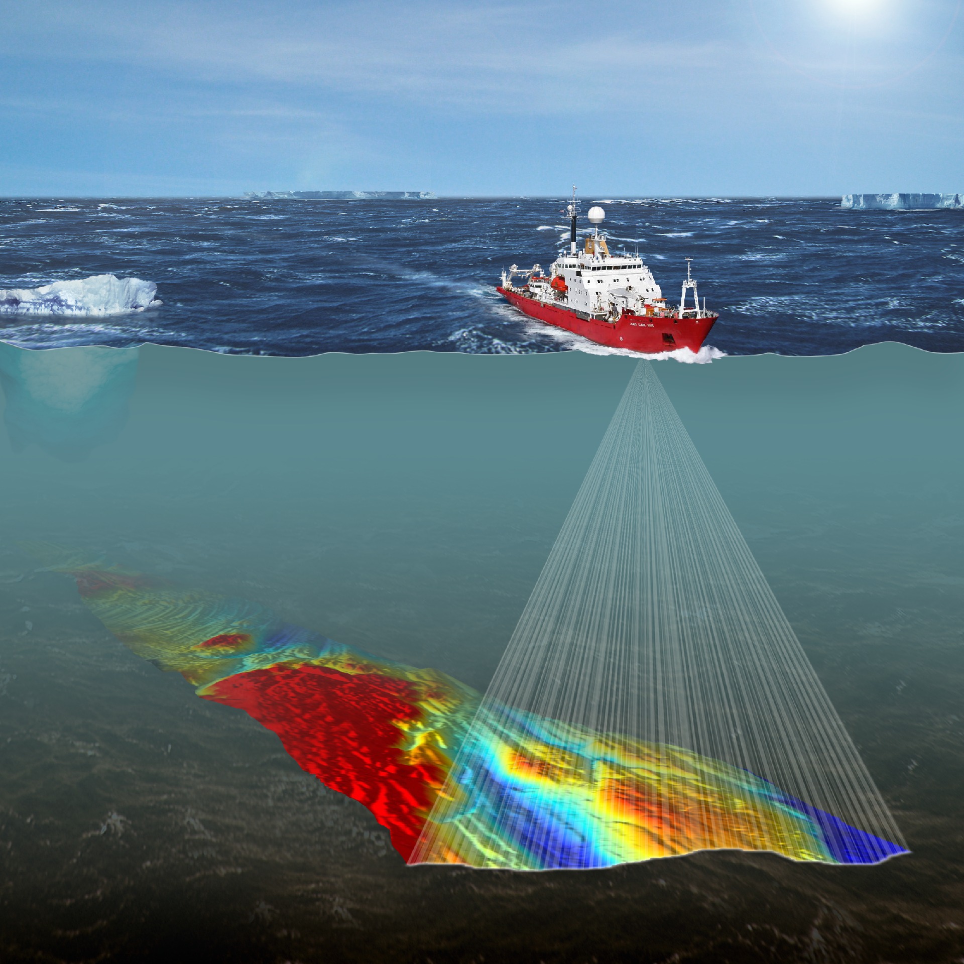
The UK government is committed to the long-term protection of over four million km2 of the world oceans which fall within the UK’s Overseas Territories. Prioritising which parts of the ocean are most important to protect depends on scientific information to help decide upon the size and location of these marine protected areas (MPAs). However, many of the UK Overseas territories such as the sub-Antarctic island of South Georgia, famous for the great polar explorer Sir Ernest Shackleton’s expedition and more recently for stunning scenes from BBC’s Blue Planet 2, are very remote and have limited scientific data. Very often habitat maps made using large-scale physical environmental data (such as depth, submarine terrain and water temperature) are used to help predict patterns in marine biodiversity where biological records are either poor or lacking.
A new publication in the journal Science of the Total Environment, from British Antarctic Survey, the National Oceanography Centre and University of Southampton, is the first attempt to see how well these large habitat maps help us understand the distribution patterns in the unique biodiversity of one of the world’s largest marine protected areas (1.07 million km2) at South Georgia.
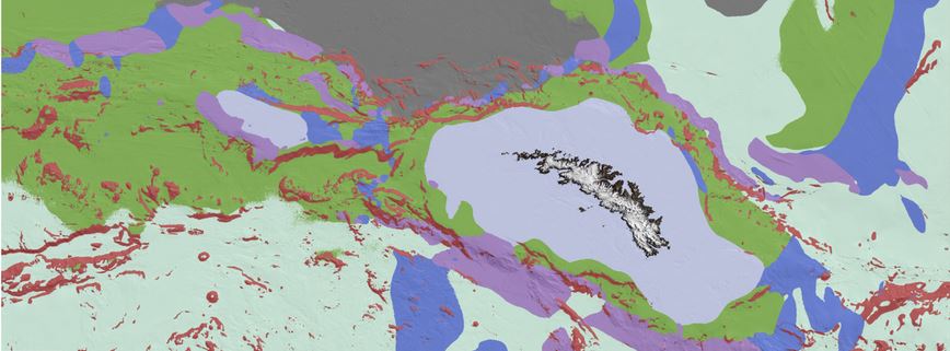
Remotely-sensed data collected over decades of collaborative research in Antarctic can be compiled to help create maps of the physical environment on the seabed around South Georgia. Photo credit: British Antarctic Survey.
Lead author and marine ecologist Oliver Hogg, says:
“The waters surrounding the island of South Georgia teem with incredibly rich marine life; many species living there are found nowhere else on earth”.
The study found a distinct collection of marine animals associated with each of the different habitat regions, such as slow-growing cold-water corals found in complete darkness at depths of over a thousand metres and basket stars, a close relative of the starfish, which have spaghetti-like arms to grasp at food in South Georgia’s nutrient-rich waters. Regions sharing similar environmental conditions were shown to share more of the same species than regions with contrasting condition. This means that on very-large scales, habitat mapping could be meaningfully used to assist with planning and conservation in this important fisheries region. It could also be a useful tool for other areas of the World that do not have enough available biological data.
Oliver Hogg concludes:
“Through better understanding the link between the marine environment and the biological communities which live there, we are better placed to protect some of the rare, unique and fascinating marine life that inhabits these icy Antarctic waters”.
Read the paper here.