Zoë Roseby is a member of the science team from British Antarctic Survey (BAS) currently aboard the RRS Discovery. Read on to discover what the team will be investigating in the southern Scotia Sea.
On Wednesday 7th March we set sail on the RRS Discovery, heading to the South Scotia Ridge and the South Orkney Plateau. It was a long journey from the snow-disrupted UK to Punta Arenas at the southern tip of Chile. My journey included a train and three flights over a 33-hour period, so it was a fantastic feeling to arrive at our destination and to see the RRS Discovery waiting for us in port. We had two days in Punta Arenas before the cruise began and so we made the most of our last opportunity to stretch our legs on land, and explored the city’s attractions. As we set sail from Punta Arenas we were very fortunate to be escorted by some playful Peale’s Dolphins.
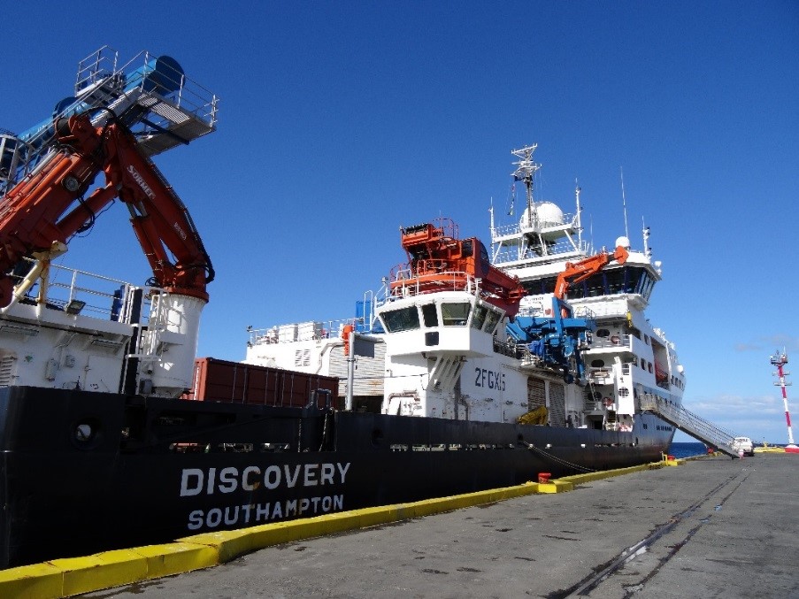
Sunny skies over the RRS Discovery in Punta Arenas, Chile. Photo credit: Zoë Roseby.
After adjusting to life on-board, we began the process of un-packing the equipment and setting up the ship’s laboratories. These needed to be ready for our arrival at the first sampling site on the Pirie Bank.
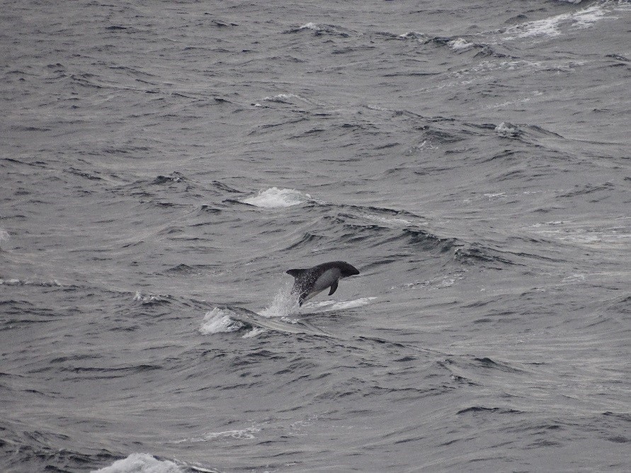
A Peale’s Dolphin escorting us from Punta Arenas. Photo credit: Matthew Chadwick.
Our science party of eight is made up of members from both the Geology and Geophysics and the Palaeo Environments, Ice Sheets and Climate Change teams at BAS. As we are a small science team, we will all be helping with every sampling activity over the next month. This will give us the opportunity to learn new methods and ideas during the scientific cruise known as DY088.
Our common goal is to investigate how the Antarctic has changed over time – from 30 million years ago to the present day. More specifically, during cruise DY088 we aim to collect sea floor samples to understand three main research objectives.
Firstly, we are investigating the geological history of the Scotia Sea. Pirie, Bruce and Discovery banks in the southern Scotia Sea, are part of a 2000 km long submarine mountain belt rising up to 3.5 km above the surrounding seafloor, but what they are and how they formed is completely unknown. Are they old volcanic rocks of the Scotia Sea floor or fragments of South America or Antarctica, snapped off when the two continents parted company and formed the Drake Passage and Scotia Sea some 30 million years ago? Our cruise aims to survey the seafloor and sample rocks from the banks to better understand their origin and their impact on past ocean circulation.
Secondly, we aim to reconstruct ice sheet changes during and following the Last Glacial Maximum (25,000 and 19,000 years ago) to better understand the conditions that led to the expansion of the Antarctic Ice Sheet and its eventual retreat. This is an important question if we are to understand how the Antarctic Ice Sheet will behave in the future, as a result of climate change. To address this aim, we plan to core into the soft sediment on the seabed close to the South Orkney Islands, where there is evidence of more extensive glaciation 20,000 years ago.
Finally, we will investigate how ocean currents around Antarctica are responding to climate change. Antarctic winds are changing in response to global warming, as warmer air masses shift further south. This shift allows warmer waters to reach Antarctica, which have triggered ice loss. We will take sediment samples from the seafloor near the South Orkney Islands, which will allow us to measure recent changes in water temperature, sea-ice extent and how Antarctic plankton has reacted to warmer waters.
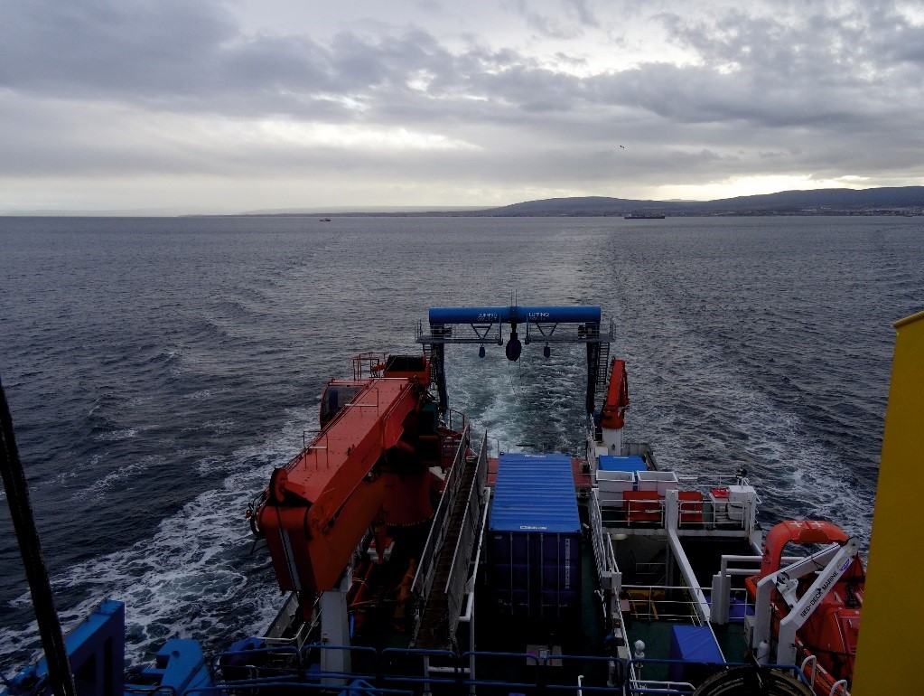
The RRS Discovery sailing from Punta Arenas. Photo credit: Zoë Roseby.
We arrived at the Pirie Bank on 12th March and our first activities included seafloor surveying and dredging. I am excited about the weeks ahead and am hopeful that we can meet the aims of the cruise.
Stay tuned for updates!