One of the aims of the ANiSEED project is to find and map evidence that, in the past, ice has covered the mountains here in Marie Byrd Land.
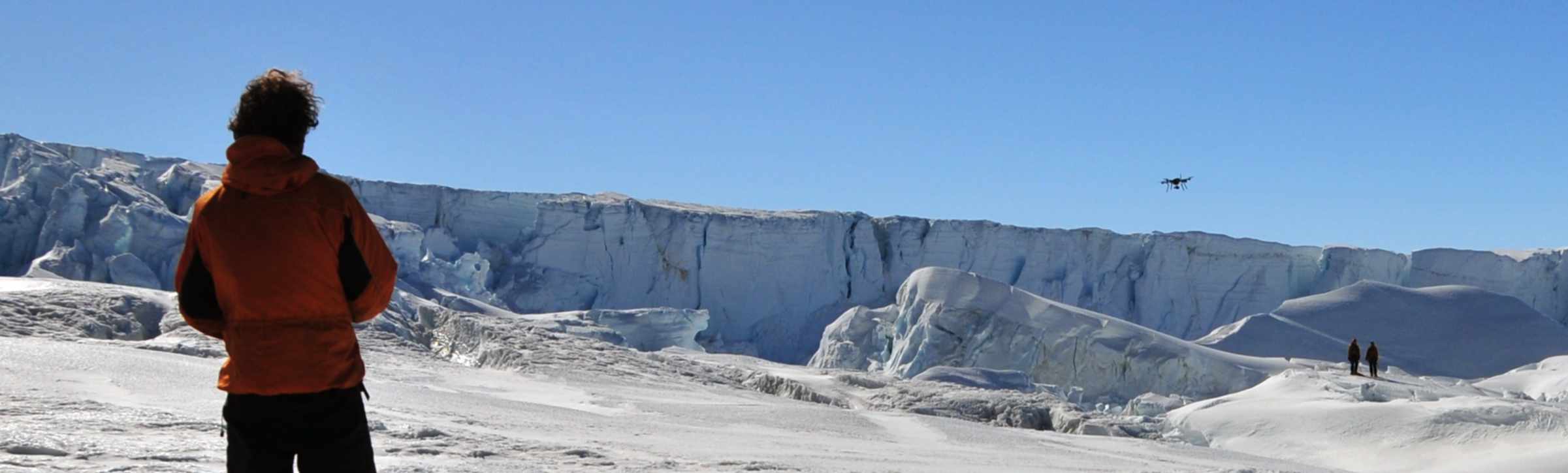
To do this, we would normally walk around our field area looking for rocks and shapes in the landscape that we think, due to their shape and appearance, must have been transported or eroded by past ice cover. It can, however, be very hard to get an overall picture of an area from walking around it because there are often patterns that you can’t see from close up. This season, our field guide Alistair Docherty and I have been using a drone to overcome this problem, providing images at a higher resolution than the best available satellite imagery.
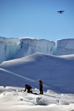
“Jerome” the drone used to map the landscape for the ANiSEED project
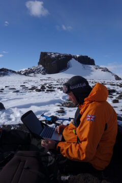
Steve Roberts programming “Jerome” the drone for another flight
After successful testing over the summer in the UK, and a somewhat shaky start to its field season, our IRIS+ UAV (unmanned aerial vehicle or drone for short), which we have more affectionately called ‘Jerome’, came good and has proved its worth. It has now amassed over Antarctic 50 flights in a 6-week spell, supporting the satellite mapping and cosmogenic sampling in the ANiSEED project, and is enabling us to produce very detailed 3D maps of selected sites. Mostly, Jerome has been flying entirely on its own, having been instructed to follow a pre-programmed set of GPS points to photograph and map the areas where we are working.
During these flights, Al and I have been reduced to mere bystanders, ready to take over should it encounter any difficulties, but largely watching passively as it completes its tasks with almost routine precision every time. We have only had to step in on a couple of occasions: when it became a bit too windy, and its batteries dropped a bit close to the ‘return-to-launch’ power level.
In summary, Jerome has had a successful trip. It seems to have enjoyed flying around the wide open spaces and spectacular scenery of the Mount Murphy range, although it’s hard to tell because all it ever does is beep at us.
Video courtesy Steve Roberts and Al Docherty