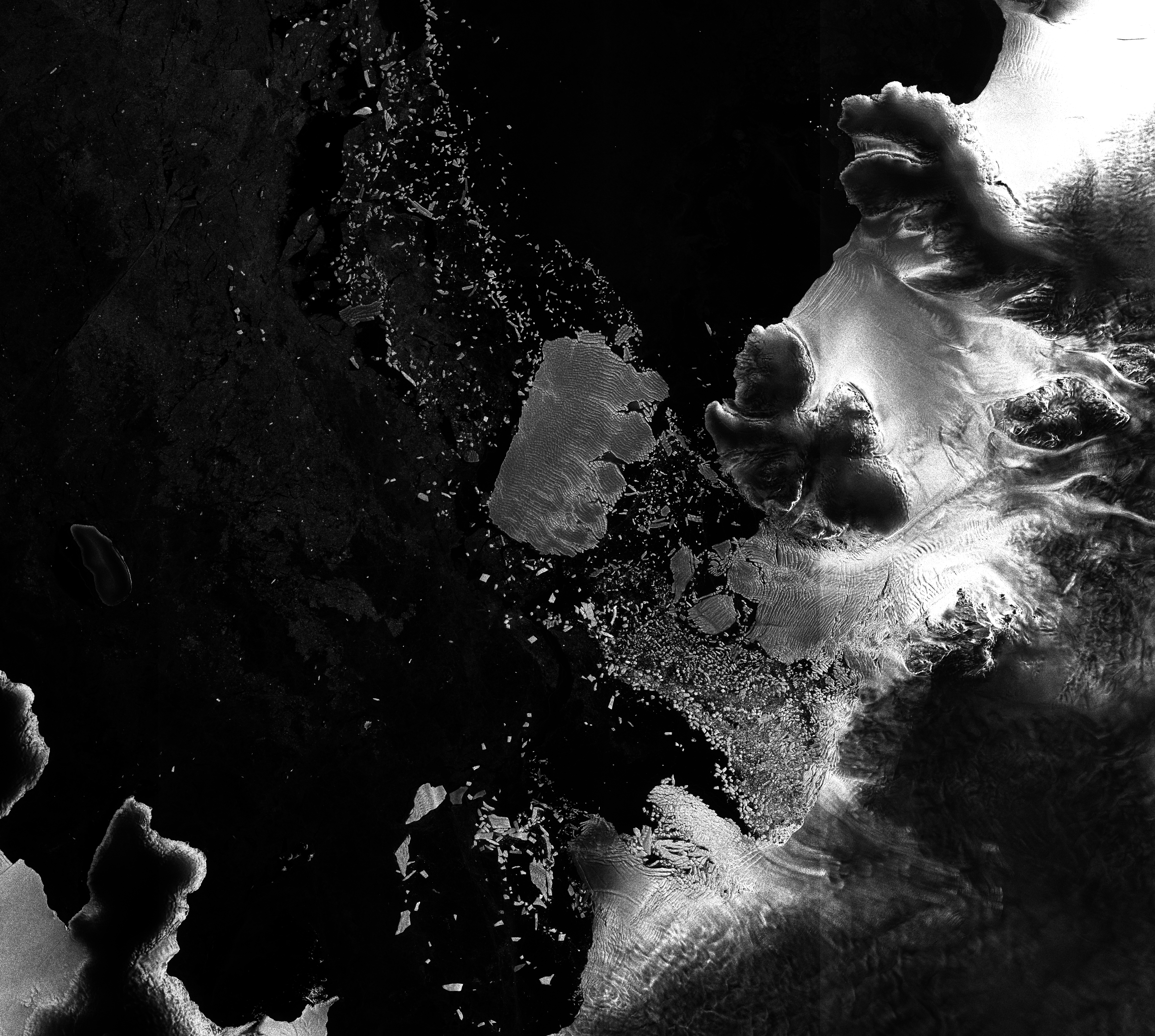
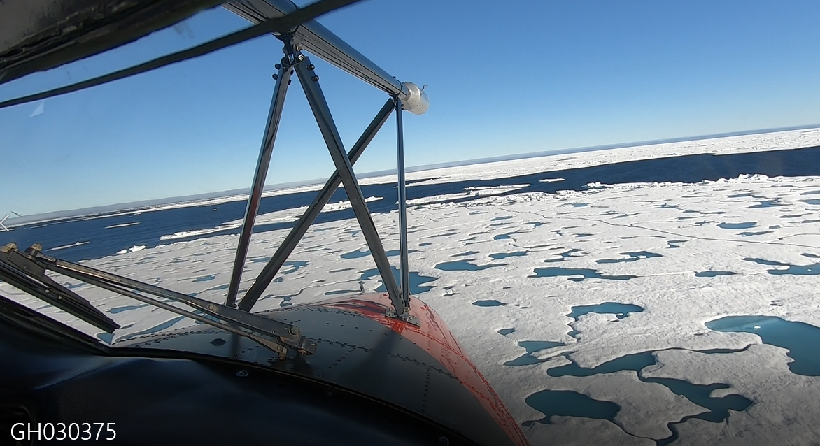
Aerial survey of Pine Island Glacier
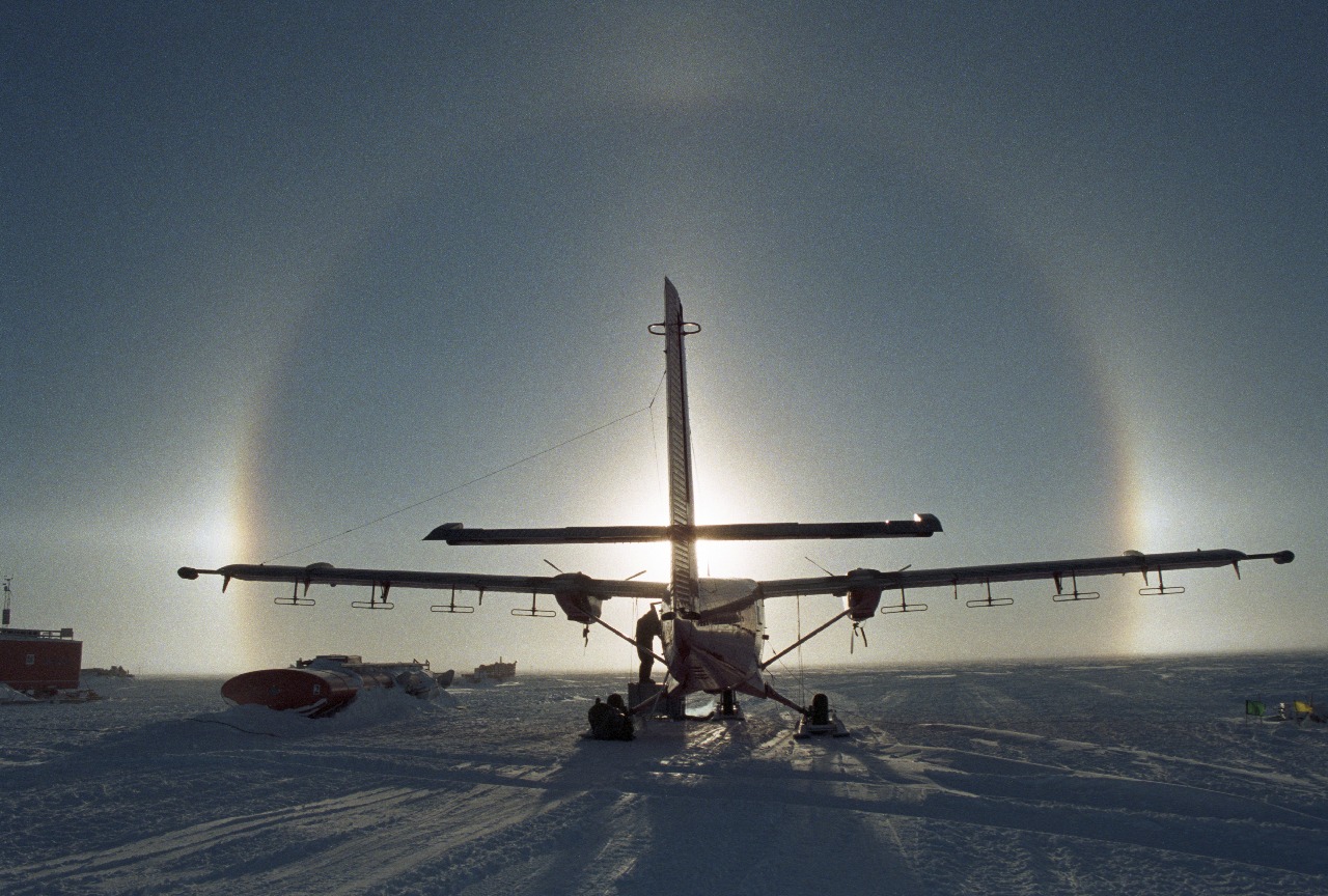
BBAS-AGASEA used airborne surveys to map the landscape beneath Pine Island Glacier and assess its potential instability due to climate change.
49 to 60 of 263 projects
BBAS-AGASEA used airborne surveys to map the landscape beneath Pine Island Glacier and assess its potential instability due to climate change.
WISE-ISODYN was a joint UK-Italian project to provide new boundary conditions to input into ice-sheet and paleoclimate models predicting the past and future stability of the East Antarctic Ice Sheet.
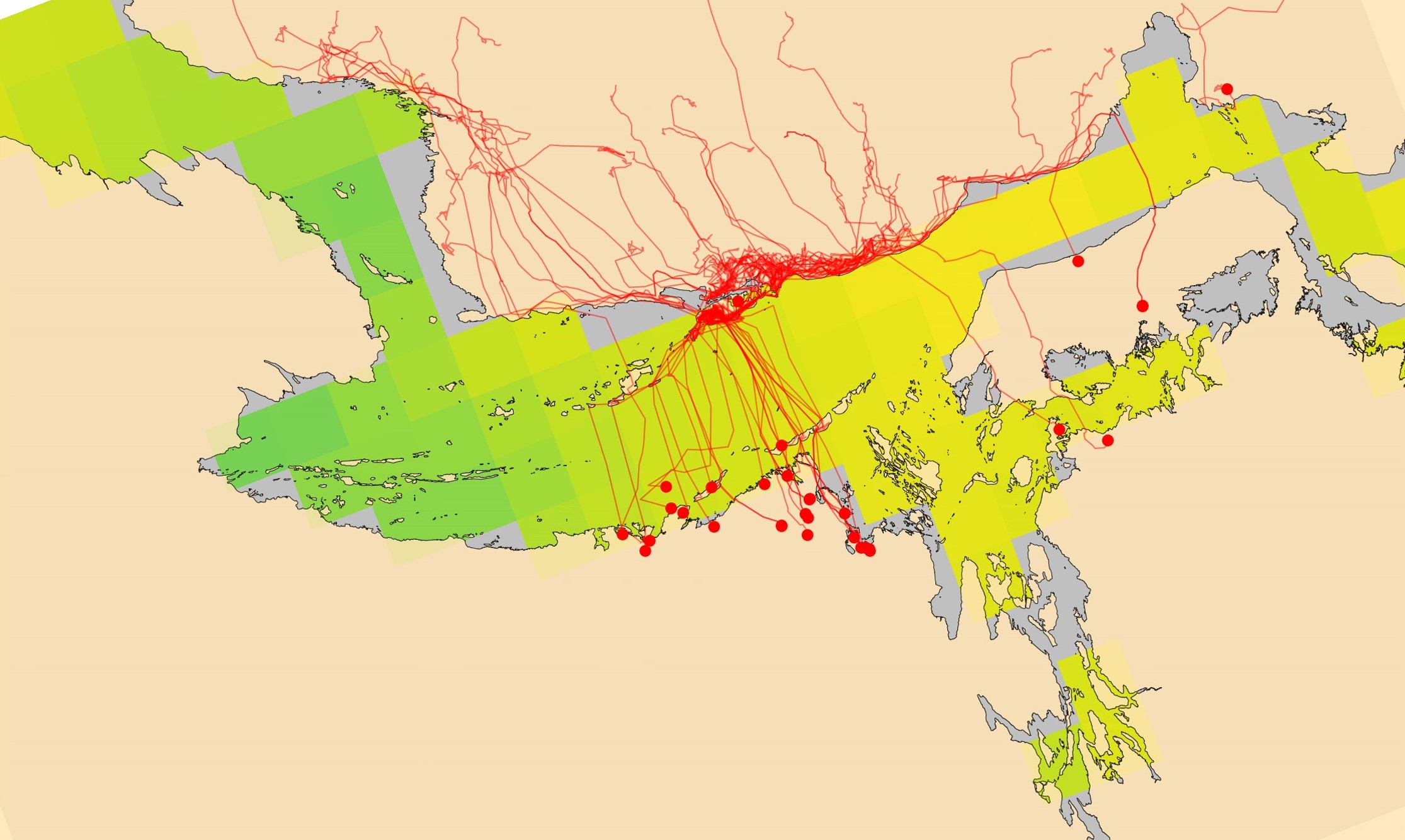
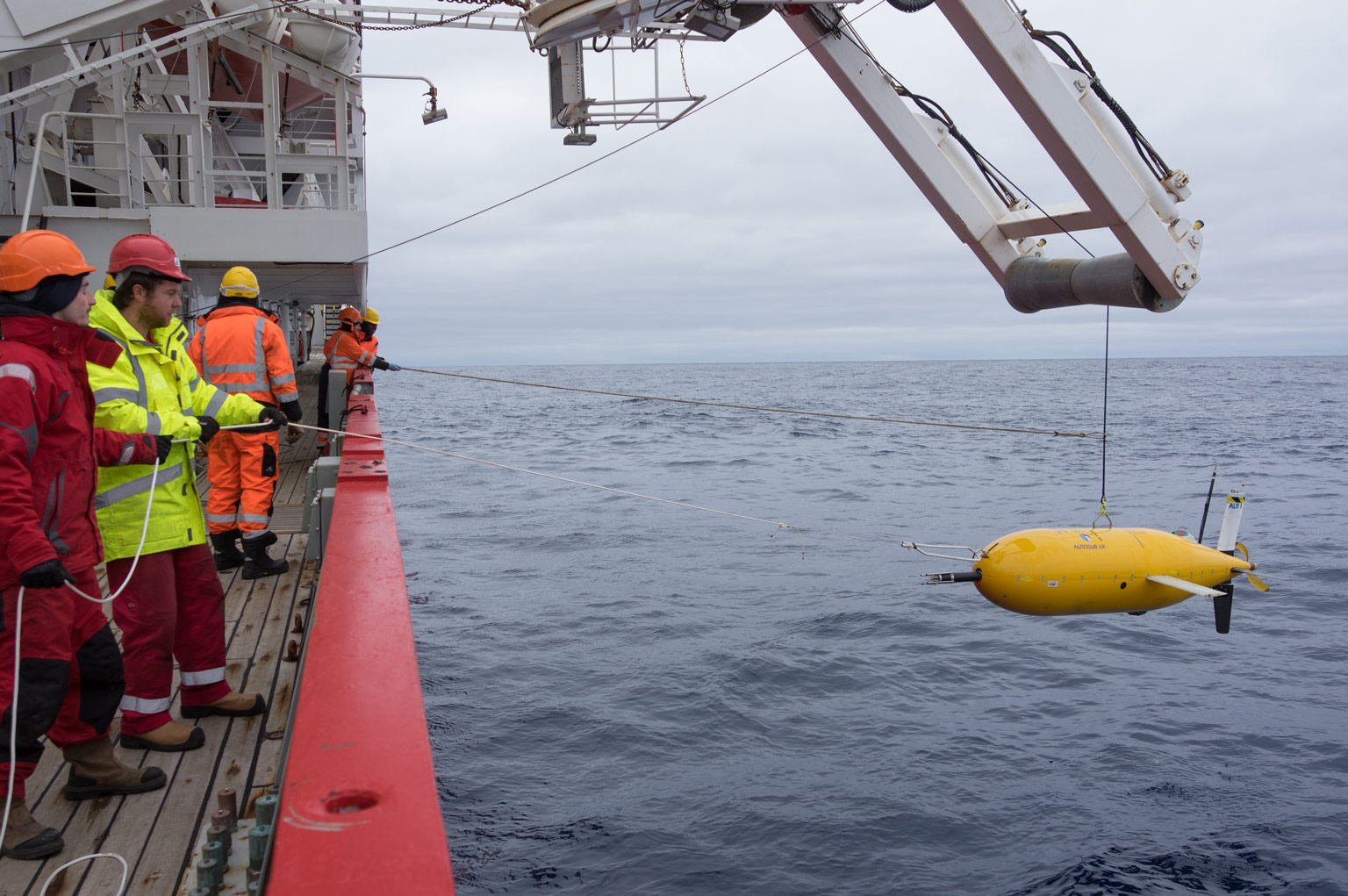
The AI for smart conservation project combines sea ice forecasts, satellite data, and GPS tracking to create early-warning systems for Arctic wildlife.
AI4EO Accelerator applies artificial intelligence to the large amounts of Earth Observation satellite data now available,
DynOPO investigated the flow of Antarctic Bottom Water through the Orkney Passage, a submarine valley connecting the Atlantic Ocean to the Weddell Sea. The project tested whether winds over the Weddell Sea regulate the volume and temperature of this deep, cold water mass by altering turbulent mixing.
This project used ice cores drilled across the Antarctic Peninsula and West Antarctica to reconstruct past climate and understand whether the recent warming in these rapidly changing regions is unusual over longer timescales..
This project aimed to improve observational knowledge of winds along the Antarctic coast and use this to both evaluate the current state-of-the art climate models and help make improvements for the next model generation.
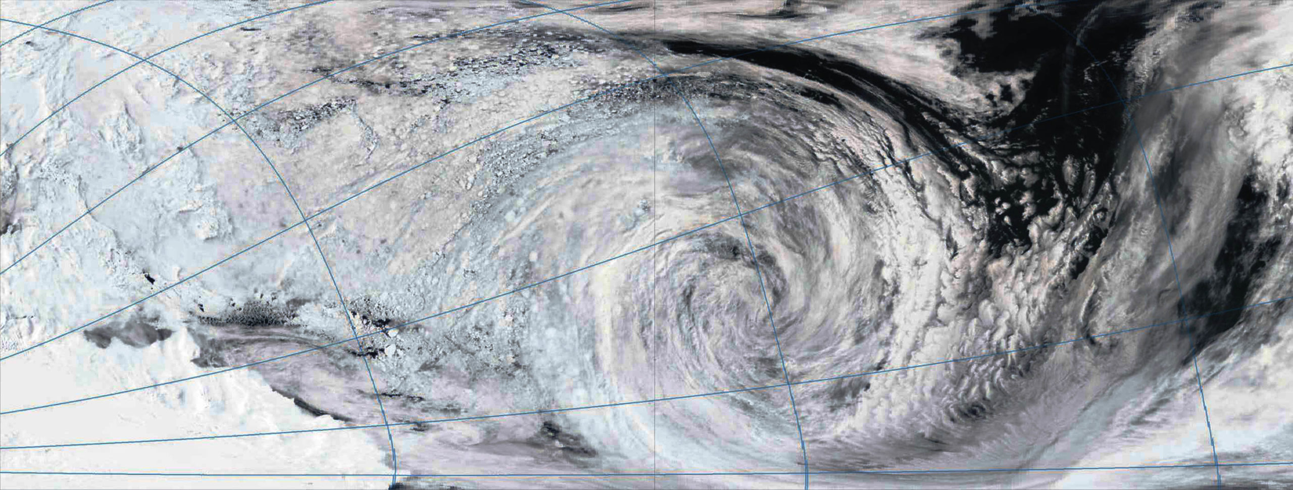
ACES (Antarctic Cyclones: Expression in Sea-ice) addressed the issue of how sea ice cover in the Southern Ocean changes when a high intensity storm passes over the ice.
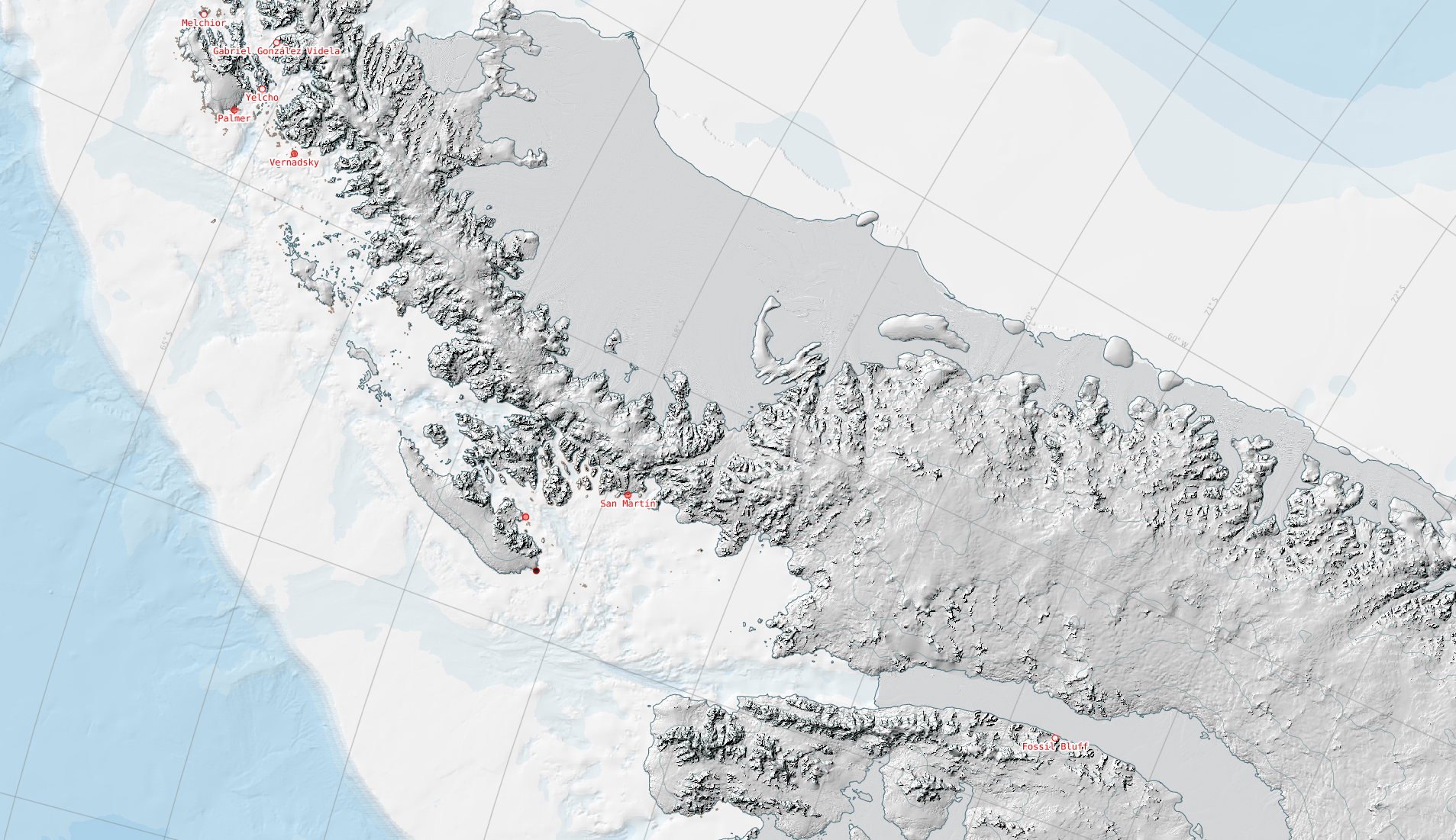
The SCAR ADD is a seamless compilation of topographic data for Antarctica to 60°S. It is the place to go to get data such as Antarctic coastline or contours for working in desktop GIS.
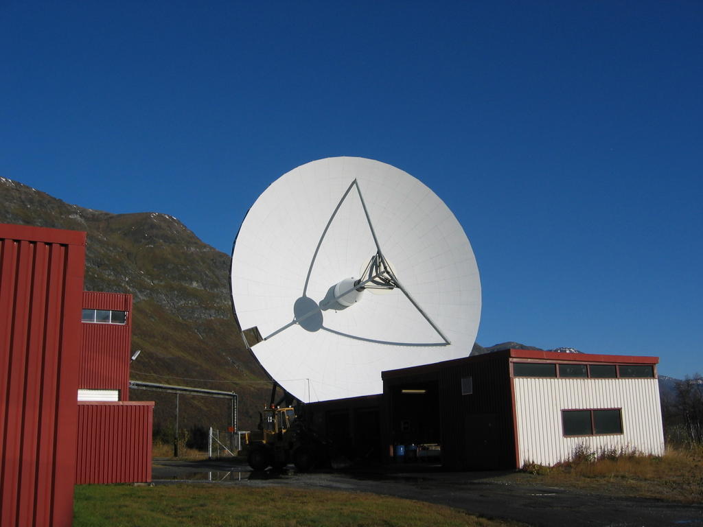
The UK EISCAT support group (UKESG) is a collaboration between the British Antarctic Survey and the Rutherford Appleton Laboratory, funded via the National Centre for Atmospheric Science (NCAS).

This research focuses on investigating the glacial histories of Arctic ice sheets and ice caps using the marine geological record preserved on continental margins.
The overarching goal of the project is to determine the role of sea-ice surface properties in Arctic cyclone dynamics and to characterise the interaction of Arctic cyclones with the summer-time Arctic environment.