Research projects

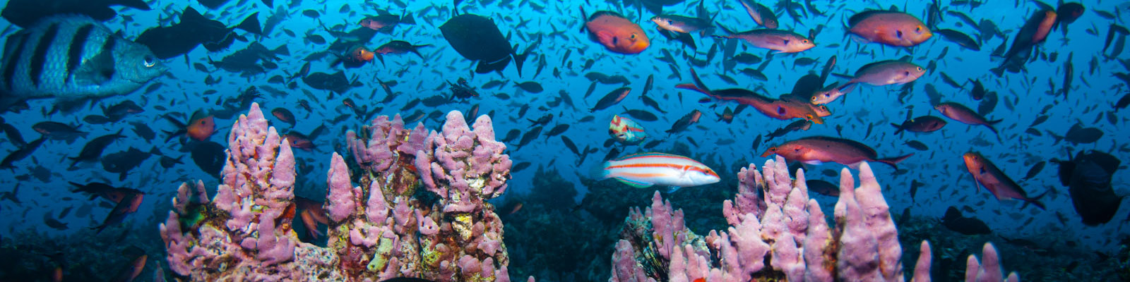
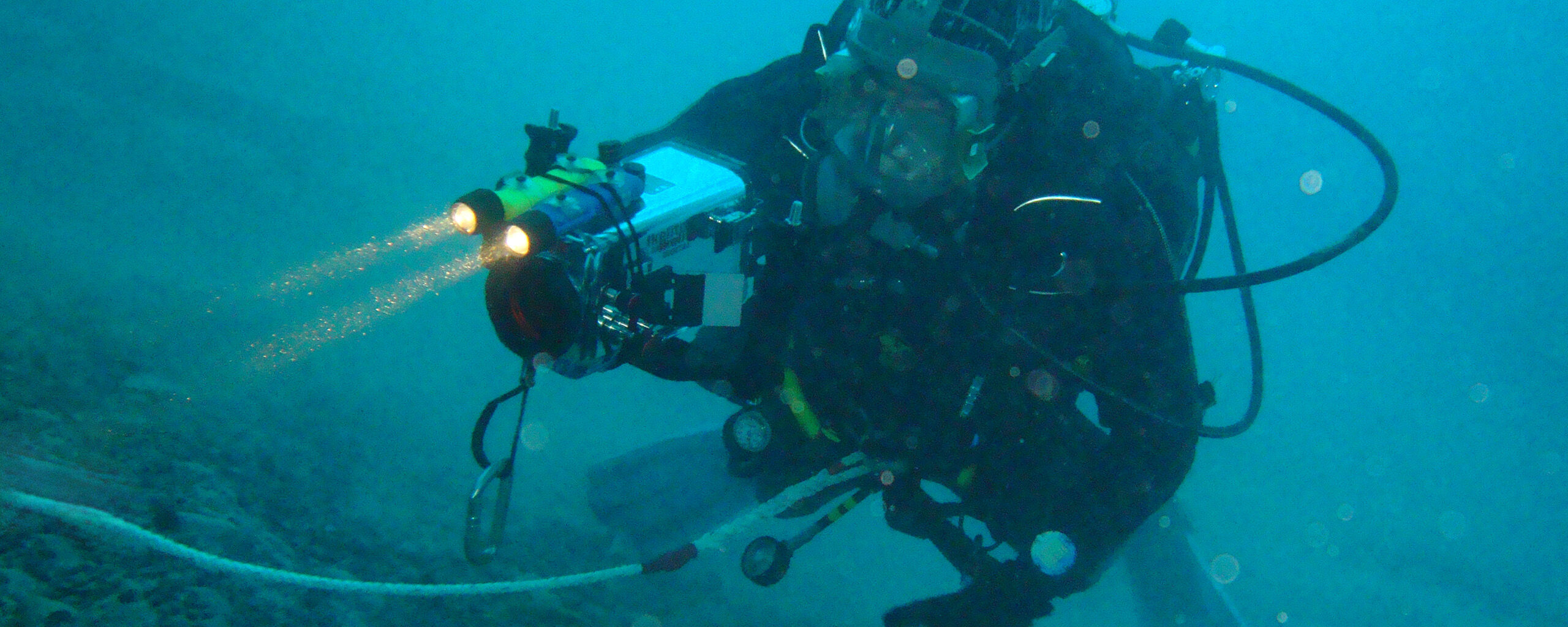
A diver carrying out underwater science

Filter:

Showing: All projects

61 to 72 of 266 projects

  1. Arctic marine geophysics

    This research focuses on investigating the glacial histories of Arctic ice sheets and ice caps using the marine geological record preserved on continental margins.

  2. Arctic Summer-time Cyclones

    turbulence probe over sea ice

    The overarching goal of the project is to determine the role of sea-ice surface properties in Arctic cyclone dynamics and to characterise the interaction of Arctic cyclones with the summer-time Arctic environment.

  3. Ascension Island Marine Sustainability (AIMS)

    AIMS gathers baseline scientific data on Ascension Island’s globally important marine wildlife and fisheries to help the island government manage and conserve its marine resources.

  4. Assets Tracking Service

    Assets Tracking Service logo

    The Assets Tracking Service shows where British Antarctic Survey ships, aircraft and vehicles are at any given time.

  5. Atmospheric Data Access System

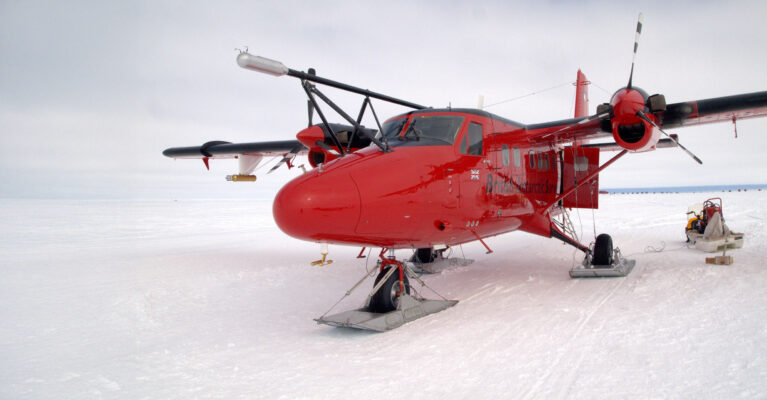
    Twin Otter aircraft with atmospheric data kit

    An online data access tool to discover, visualise and access atmospheric and space weather data holdings from the polar regions.

  6. BAS-RBM

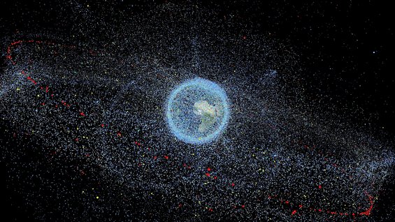
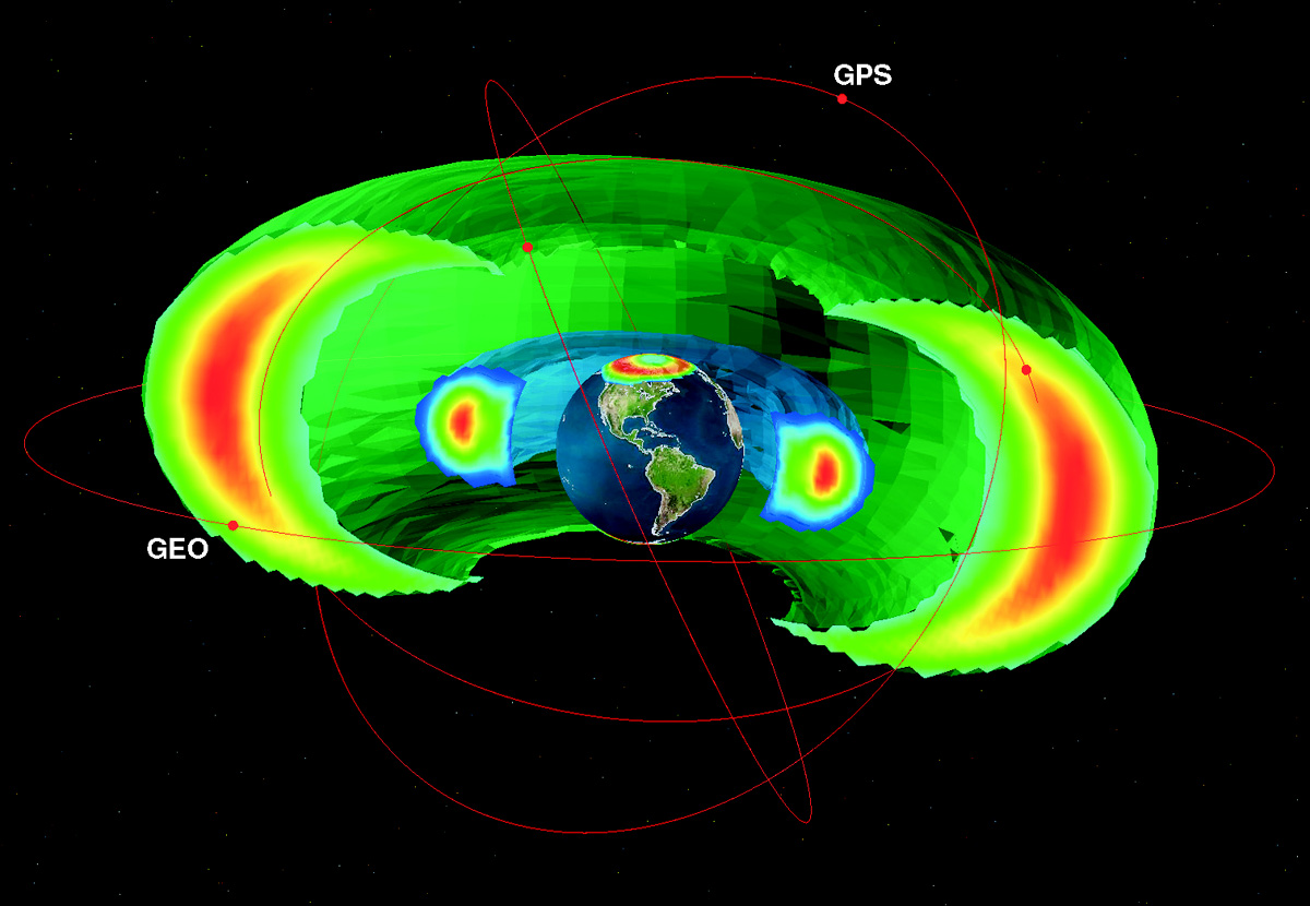
    The Earth's electron radiation belts

    BAS-RBM simulates changes in the high-energy electrons trapped around Earth to help protect satellites, improve forecasting of space weather, and understand radiation belts at Jupiter and Saturn.

  7. BEAMISH: Basal Conditions on Rutford Ice Stream

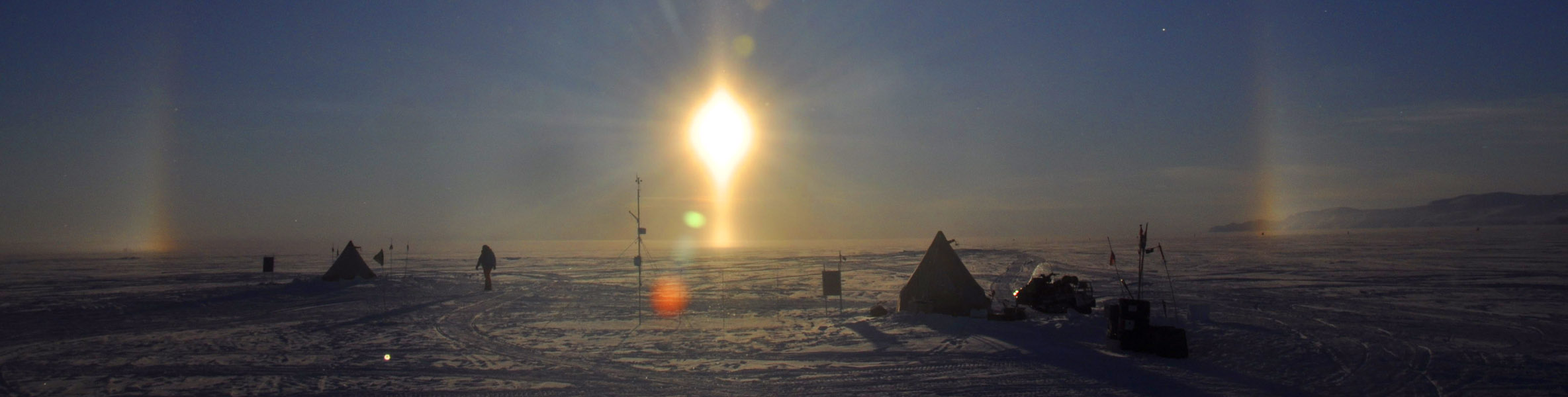
    BAS Field Camp on the Rutford Ice Stream

    BEAMISH drilled through over 2 km of ice on Rutford Ice Stream to discover when the West Antarctic Ice Sheet last collapsed and how water and soft sediments beneath it help the ice flow towards the sea.

  8. Bedmap

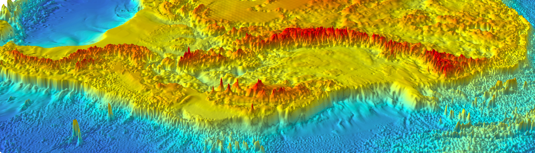
    Bedmap is a collaborative community that has produced maps and datasets of Antarctic ice thickness and bed topography

  9. Bedmap Himalayas

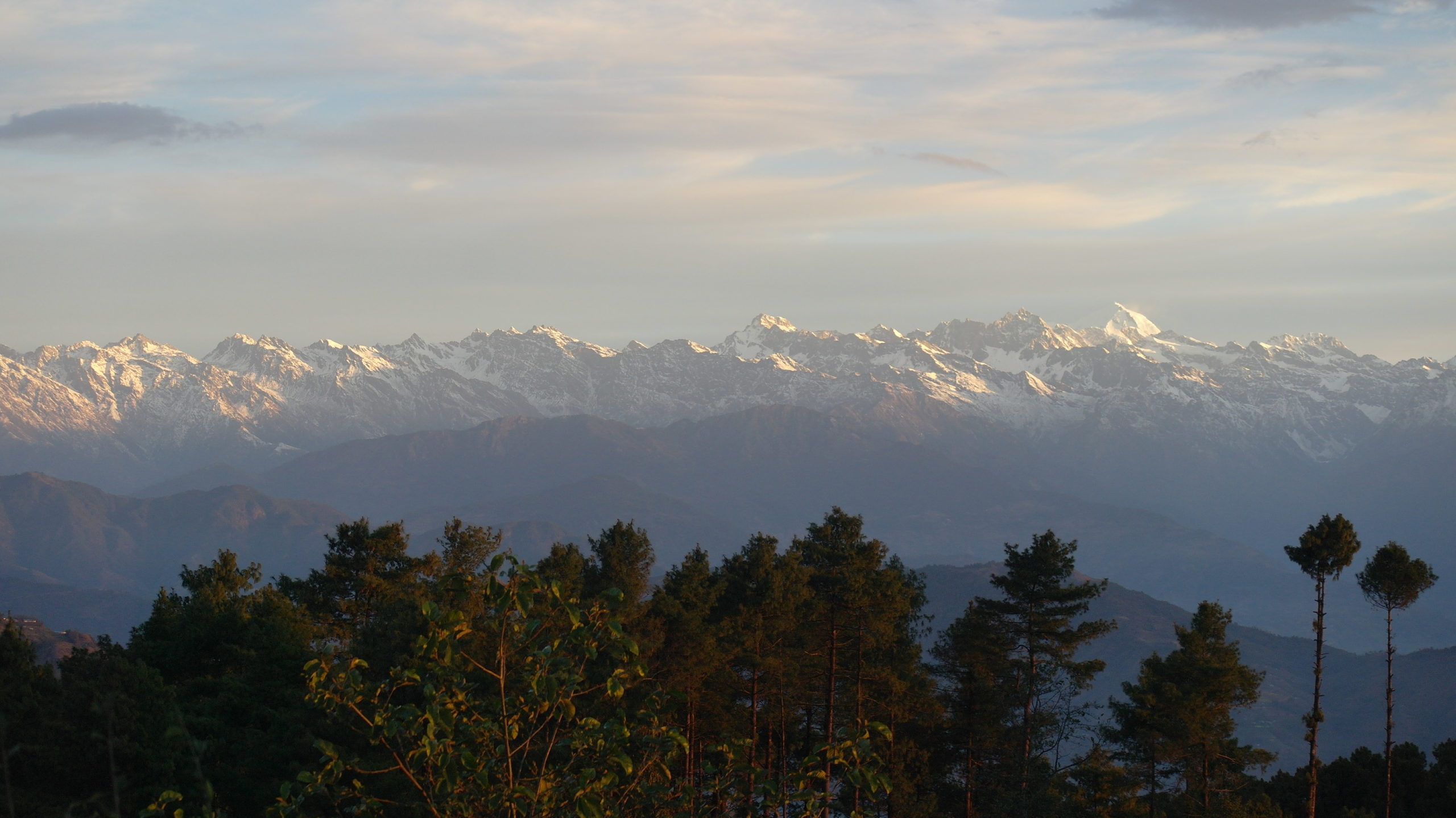
    Bedmap Himalayas measures how much water is stored as glacier ice in High Mountain Asia by mapping ice thickness using radar.