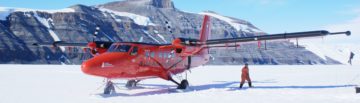
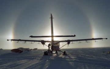
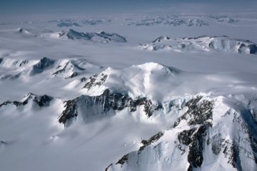
Aerial survey of Pine Island Glacier
BBAS-AGASEA used airborne surveys to map the landscape beneath Pine Island Glacier and assess its potential instability due to climate change.
BAS has developed aerogravity systems that can be mounted in its geophysical survey aircraft, or in a UAV. Over 100,000 km of gravity data has been collected since such systems were first deployed in 1993. So far the measurements have been used to map changes in crustal thickness along the Antarctic Peninsula, have helped define highly accurate models of the Earth’s shape, which are then used to predict satellite orbits, and have mapped hidden cavities beneath ice shelves.
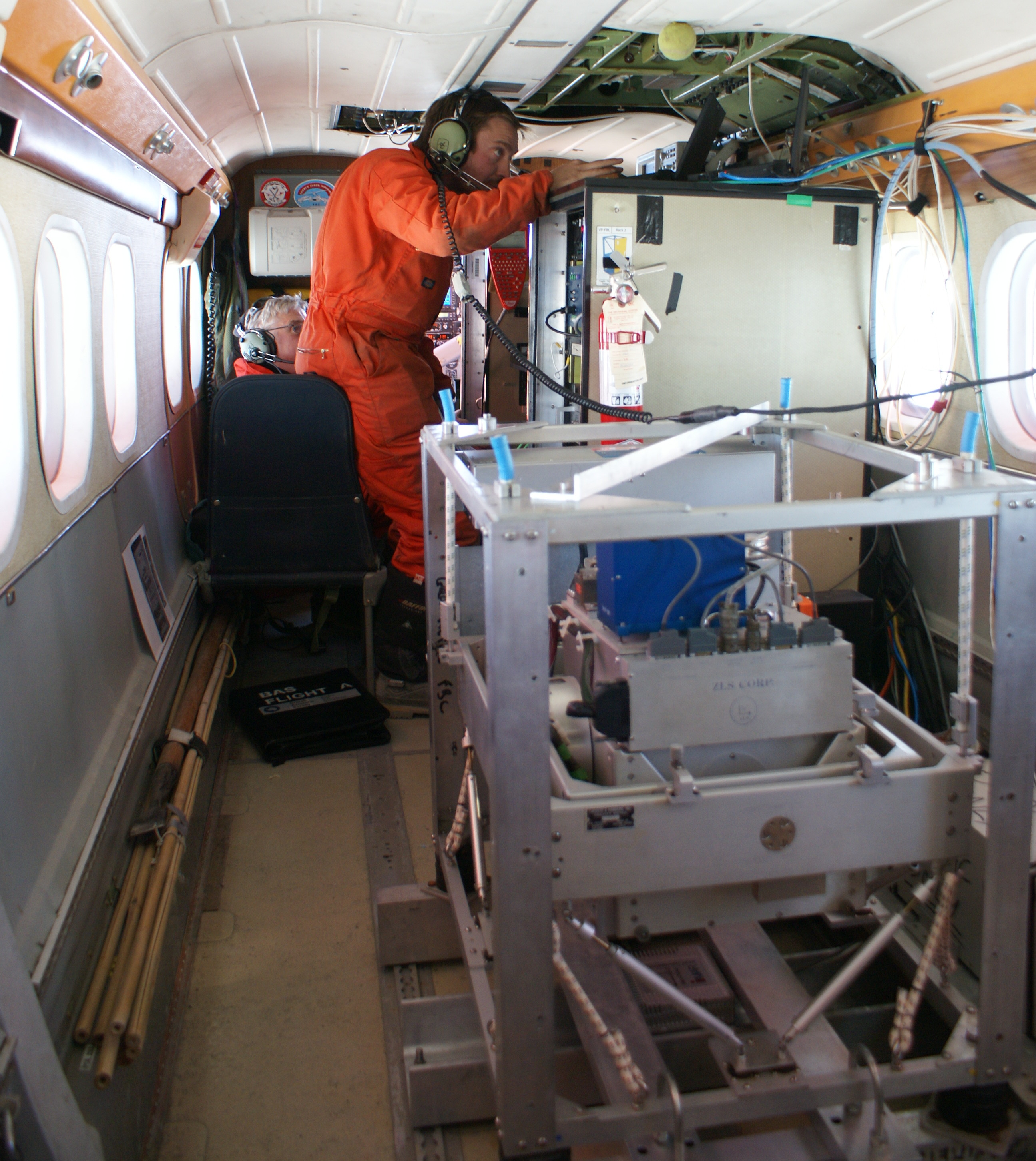
Aerogravity measurements were originally acquired with a modified LaCoste and Romberg air/sea gravimeter model S-83. The three main parts of the system are the gravity sensor (essentially a weight suspended from a sophisticated spring-balance), the gyroscope-stabilised platform (active systems that damp-out vibrations due to movement of the aircraft), and an external platform control system (the computer system that collects and stores the data). To minimize motions due to the pitching, yawing and rolling of the aircraft in flight, the meter platform is mounted at the center of motion of the aircraft. This system has remarkable long term stability and can be used in cases such as geodetic surveys where low drift is the primary demand.
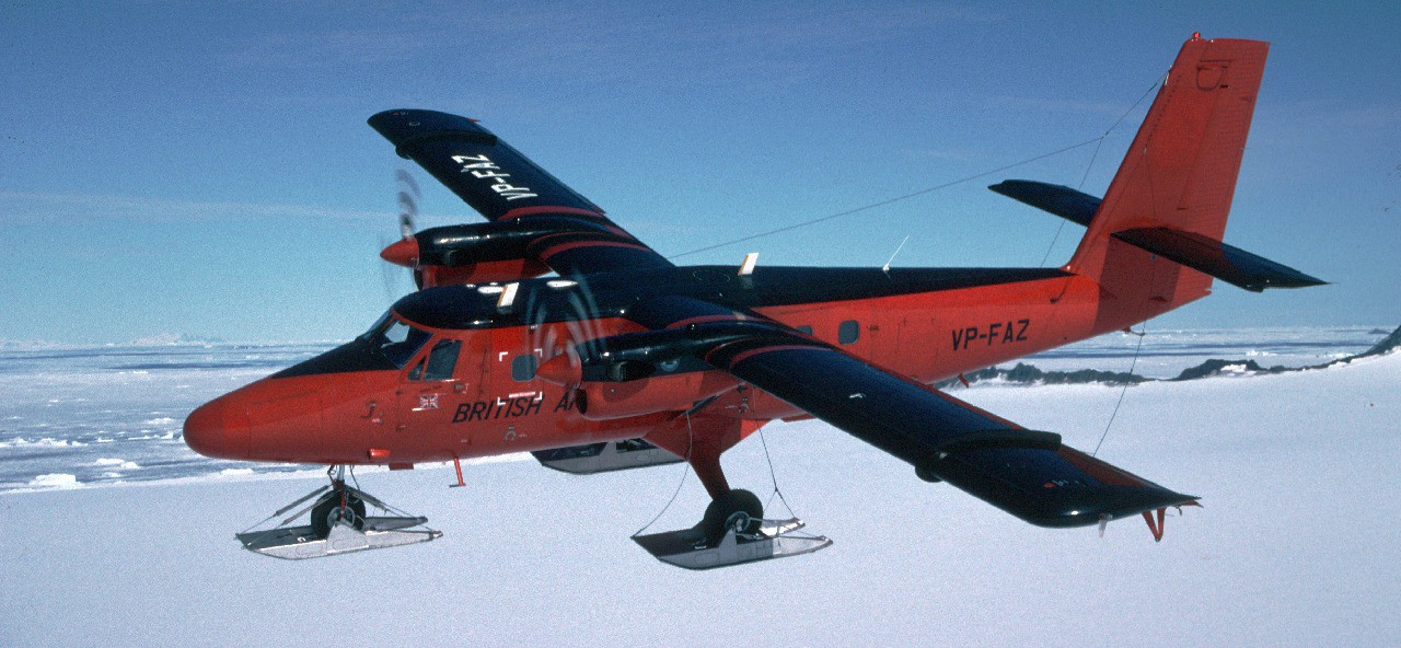
Airborne gravity system installed in Twin Otter aircraft.
Since 2019 BAS have also deployed an iMAR iCORUS strapdown gravity system. This sensor rigidly attaches to the aircraft, relying on three axis set of accelerometers and gyroscopes to measure the full acceleration and rotation of the platform. These measurements, coupled with GPS data are included in a Kalman filtering routine which returns the Earths gravitational field. This system is much more robust to turbulance so can be flown in draped mode. In addition it is much smaller and lighter, so can be installed either beside the LaCoste and Romberg system to bridge data gaps, or as a stand alone system in a UAV.
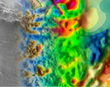
How can we obtain a picture of the structure of the Earth below us from measurements of the gravitational field at the surface? We know that acceleration due to gravity changes with position on the Earth’s surface and that gravity changes depend on the mass of all the surrounding bodies and their distance away from the point of measurement.
Within the Earth there are different rock types and different rock types have different densities. Therefore part of this change in gravity can be related to the relative position of rock structures of differing mass. So by making surface measurements of the acceleration due to gravity, a picture of the Earth’s geological structure can be obtained.
Gravity measurements are particularly important in Antarctica, because as the surface geology is permanently covered in ice, we don’t even have a crude picture of the geology of large parts of the continent.
Why make gravity measurements from the air? The simple answer is logistics, a lot of the Antarctic is inaccessible to land travel and it would take 3 months to travel on land the same distance covered in a three-hour flight. However, there are problems with taking gravity measurements in the air. Most instruments that measure gravity will also detect the vertical acceleration of the aircraft, which is 100,000 times greater than any changes in the gravitational acceleration due to changes in the Earth’s density structure. Therefore the position of the plane needs to be continuously measured to cm precision. Only relatively recently could this be achieved using satellite positioning systems, and so aerogravity is still a developing technology.
BBAS-AGASEA used airborne surveys to map the landscape beneath Pine Island Glacier and assess its potential instability due to climate change.
WISE-ISODYN was a joint UK-Italian project to provide new boundary conditions to input into ice-sheet and paleoclimate models predicting the past and future stability of the East Antarctic Ice Sheet.
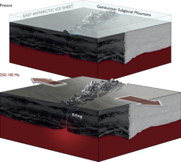
AGAP was an international effort to explore the Gamburtsev Subglacial Mountains in the center of East Antarctica.
This project investigated the stability of Antarctica’s Filchner Ice Shelf to produce sea-level projections using hot water drilling, ocean measurements beneath the ice shelf, sediment coring, radar surveys and autonomous submersibles.
The aim of this programme was to image englacial layering and bedrock topography over this sensitive catchment of the West Antarctic Ice Sheet and Antarctic Peninsula.
The primary aim of the project is to carry our airborne gravity observations across hitherto unexplored parts of Antarctica.
PolarGAP is an ambitious international mission to capture new and critical data about the Earth’s global gravity field.
This project investigated the ice streams of West Antarctica’s Weddell Sea sector through airborne surveys.
The altimeter in the front of the Twin Otter aircraft is showing 8500 ft as we cruise due south from Rothera research station for the next leg in our PolarGAP […]

Gondwana break-up changed the global continental configuration, leading to the opening of major oceanic gateways, shifts in the climate system and significant impacts on the biosphere, hydrosphere and cryosphere. Although […]
Gamburtsev Mountains enigma unraveled in interior East Antarctica The birth of the Gamburtsev Subglacial Mountains buried beneath the vast East Antarctic Ice Sheet — a puzzle mystifying scientists since their […]