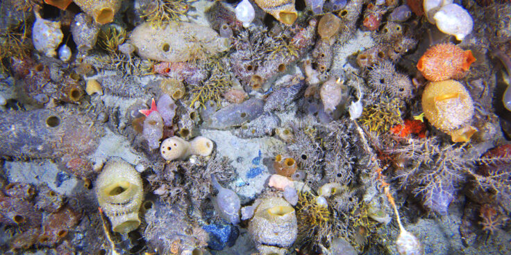
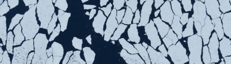
The evolution and ecology of Antarctic sea floor communities
Antarctic seafloor ecosystems are both unique and fragile. Studying their past and present gives us valuable insights into how climate change may reshape them.
25 to 36 of 303 results
Antarctic seafloor ecosystems are both unique and fragile. Studying their past and present gives us valuable insights into how climate change may reshape them.
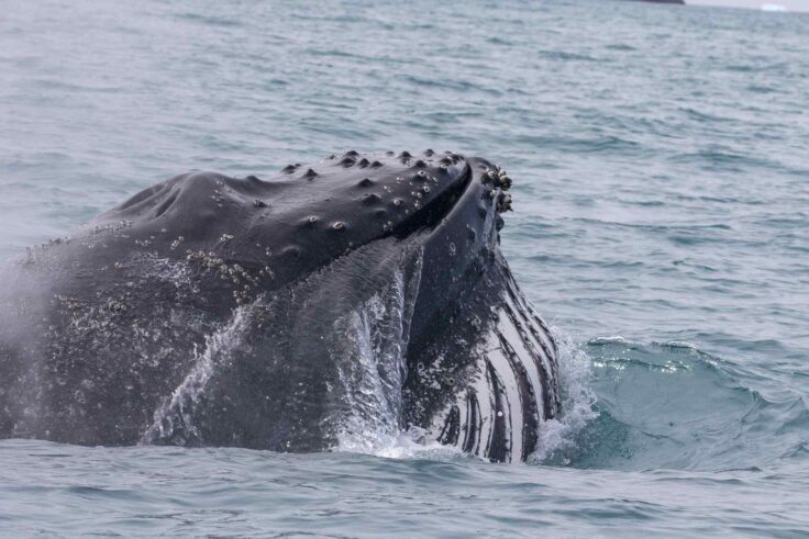
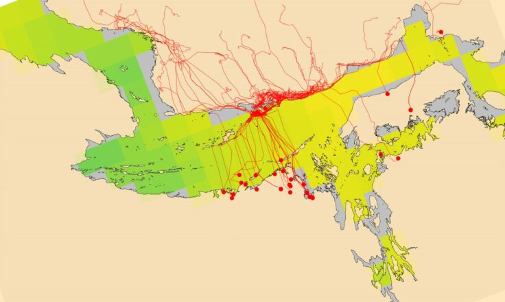
Hungry Humpbacks studied how humpback whales, the largest predators of krill in the region, fed at South Georgia.
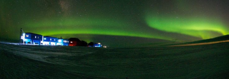
The Antarctic Infrastructure Modernisation Programme (AIMP) Sustainability Strategy comprises eight major sustainability themes.
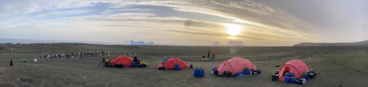
The first comprehensive scientific survey of Zavodovski Island, home to the world’s largest penguin colony.
CONSEC explores how climate change and human activity are transforming the Southern Ocean, guiding global science and conservation.
The AI for smart conservation project combines sea ice forecasts, satellite data, and GPS tracking to create early-warning systems for Arctic wildlife.
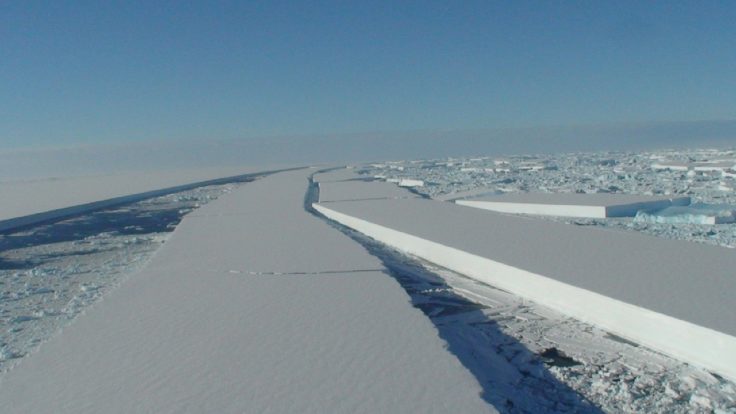
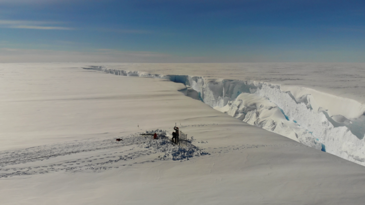
RIFT-TIP is investigating iceberg calving on the Brunt Ice Shelf. It uses field monitoring, lab testing, and modelling to predict when icebergs will form.
The European Space Agency (ESA) Southern Ocean-Ice Shelf Interactions (SO-ICE) project is a collaborative research project bringing together the ESA Polar+ Ice Shelves and 4D Antarctica projects, and the European Commission Southern Ocean Carbon and Heat Impact on Climate (SO-CHIC) project, in order to improve understanding of the processes controlling ice-ocean interactions in Antarctica.
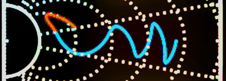
PADIE (Pitch-Angle Diffusion of Ions and Electrons) is a computational model developed at BAS that calculates how electromagnetic waves affect charged particles in radiation belts.
HOTRAY is a ray tracing computer code designed to trace the path of electromagnetic waves in a hot magnetised plasma. HOTRAY has been used to understand the generation and propagation of plasma waves at the Earth, Jupiter, Saturn and laboratory plasmas.
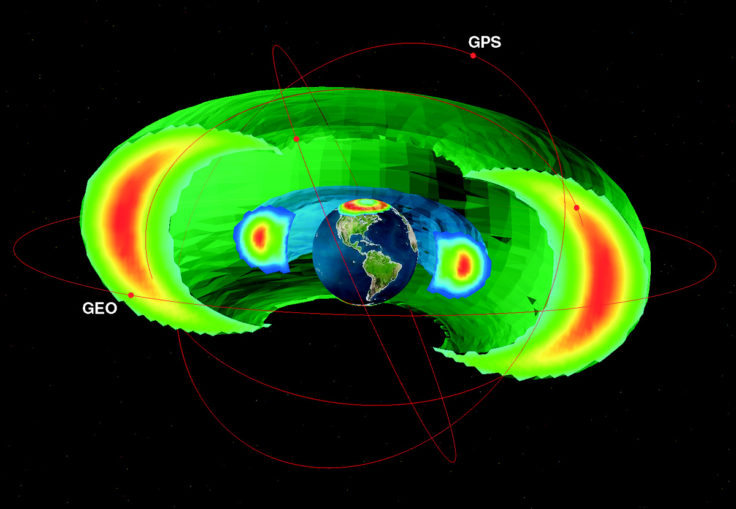
BAS-RBM simulates changes in the high-energy electrons trapped around Earth to help protect satellites, improve forecasting of space weather, and understand radiation belts at Jupiter and Saturn.
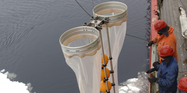
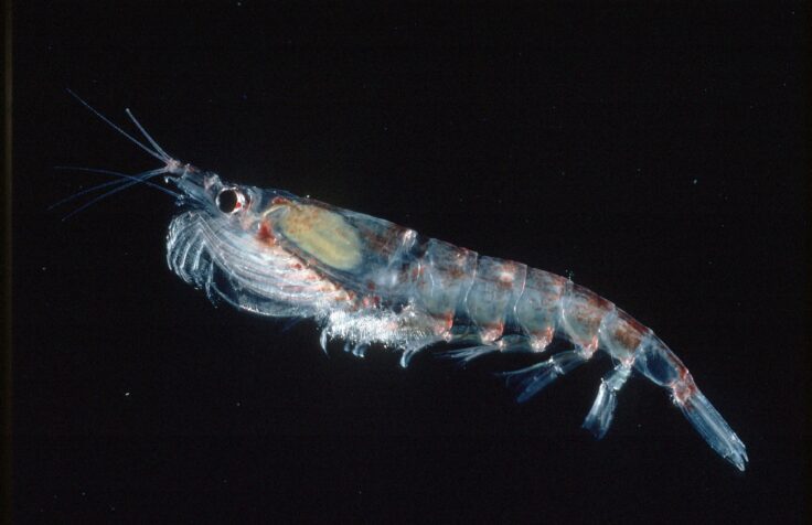
Zooplankton are a vital part of the Scotia Sea food web. The project aims to improve the way we manage and monitor the pelagic ecosystem around South Georgia.