13 to 24 of 303 results
-

-
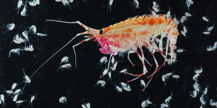
Thermal biology of Antarctic ectotherms
Read more of: Thermal biology of Antarctic ectothermsThis project studies how Antarctic aquatic ectotherms — animals whose body temperature depends on their environment — survive in freezing waters.
-
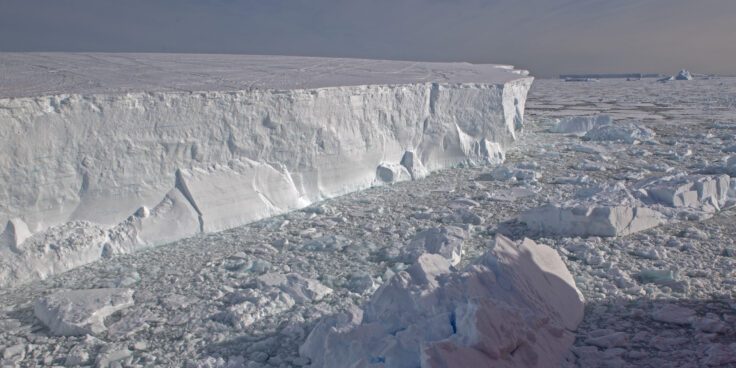
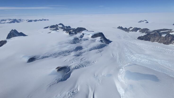
Polar Ocean Mixing by Internal Tsunamis
Read more of: Polar Ocean Mixing by Internal TsunamisPOLOMINTS investigates how glacier calving triggers internal tsunamis, reshaping polar ocean mixing and influencing climate, ecosystems, and carbon cycling.
-
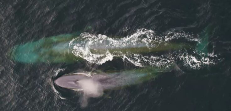
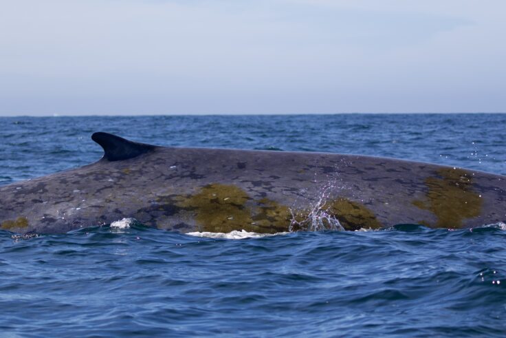
Sustained Monitoring of Whales at South Georgia
Read more of: Sustained Monitoring of Whales at South GeorgiaThis project is creating a long-term framework for monitoring whale numbers and behaviour.
-
Understanding extreme weather in Antarctica
Read more of: Understanding extreme weather in AntarcticaExtAnt investigates extreme weather events in Antarctica, examining their causes including human activity, the ozone hole and greenhouse gases.
-
AI for Earth Observation
Read more of: AI for Earth ObservationThe AI for Earth Observation project develops machine learning tools to detect icebergs, sea ice, and wildlife from satellite imagery.
-
South Georgia’s Lost Giants
Read more of: South Georgia’s Lost GiantsSouth Georgia’s Lost Giants is part of the British Antarctic Survey’s “Wild Water Whales” project studying the recovery of whales from historical exploitation in South Georgia.
-
PRESCIENT
Read more of: PRESCIENTPRESCIENT supports long-term, strategically important measurements and capabilities for the wider science community.
-
South Georgia seabirds from space
Read more of: South Georgia seabirds from spaceThis project tests whether satellite imagery can be used to monitor breeding seabirds across the island group.
-
The Sustainable Flag Project
Read more of: The Sustainable Flag ProjectThe field department have estimate the use of 400 flags on station with ~ 1,000 flags deployed into the field each year. We have conducted a preliminary trial by testing different material types (cotton canvas and Ventile) at select sites around Rothera.

-
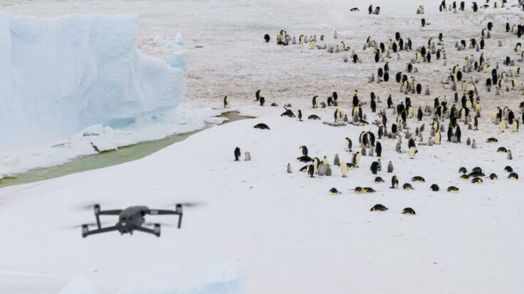
Snow Hill Emperor Penguin Expedition
Read more of: Snow Hill Emperor Penguin ExpeditionA BAS science team has returned from Snow Hill emperor penguin colony, where they have conducted survey work, collected guano samples for DNA analysis and deployed the first tracking tags on emperor penguins in the Weddell Sea.
-
Mass extinction and biological responses to Cenozoic environmental change
Read more of: Mass extinction and biological responses to Cenozoic environmental change