SI12 Boundary Data
All Available SI12 Boundaries May 2000 – October 2002 Monthly Boundaries Individual files from May 2000 to Oct 2002. Download Individual files from May 2000 to Oct 2002.
193 to 204 of 303 results
All Available SI12 Boundaries May 2000 – October 2002 Monthly Boundaries Individual files from May 2000 to Oct 2002. Download Individual files from May 2000 to Oct 2002.
All Available WIC Boundaries May 2000 – October 2002 Monthly Boundaries Individual files from May 2000 to Oct 2002. There are no WIC boundaries available for Apr 2001. Download Individual […]
The objective of this project was to investigate whether magnetic reconnection in the space environment has a characteristic scale in space and time by characterising statistically the spatial and temporal structure of the footprint of reconnection as observed in the Earth’s ionosphere.

A project using small explosive charges to measure reflected sound waves, researchers aimed to determine the lake’s water depth and characteristics, providing essential data to guide future drilling operations to access unique records of ice sheet history and potential microbial life.

Beyond Epica – Oldest Ice drilled Antarctic cores up to 1.5 million years old. It explored past climate and greenhouse gas cycles, building on the Dome C ice record.

Quantifying the Effect of the Upper Atmospheric Electric Potential on Lower Atmospheric Temperature and Pressure.

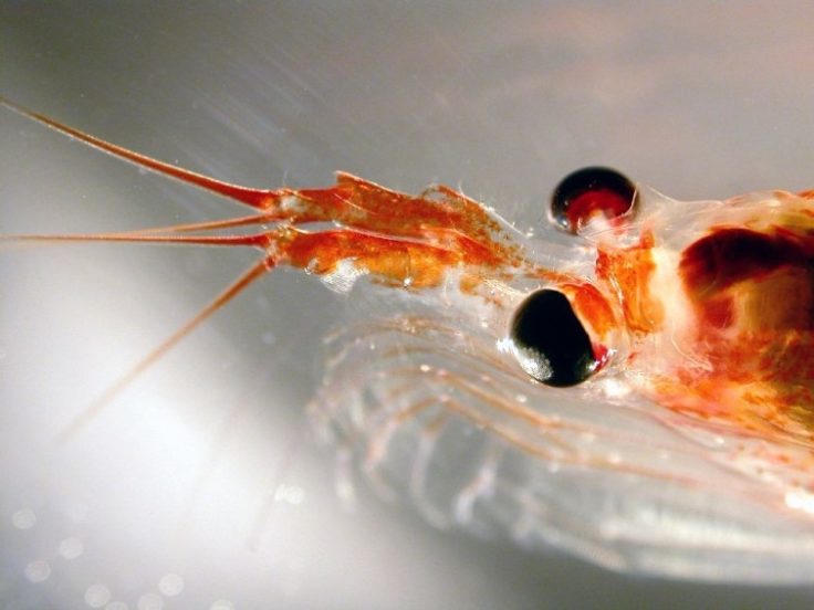
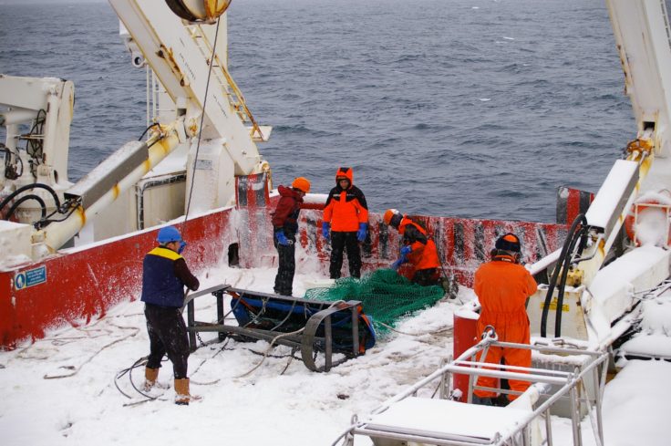
The KRILLBASE density data indicates the relative probability of occurrence for both Antarctic krill and salps at the circumpolar scale and at finer scales in well-sampled areas such as the […]
KRILLBASE compiles and shares circumpolar data on Antarctic krill and salps. The project supports research, fisheries management, and conservation across the Southern Ocean.
A new research platform to put UK scientists at the forefront of polar science
British Antarctic Survey has an ongoing science & art collaboration with Royal College of Art PhD candidate Wayne Binitie. Wayne has visited BAS a number of times to develop his […]

The key objective is to identify and implement management techniques which will as far as possible be sympathetic to wildlife and encourage native species, in order to sustain and enhance biodiversity at BAS Cambridge.