Explore the range of data services, interfaces and portals provided by British Antarctic Survey.
Find data
Explore the UK Polar Data Centre metadata catalogue. Please use the system to search for polar datasets held by the UK Polar Data Centre
Atmospheric Data Access System
An online data access tool to discover, visualise and access atmospheric and space weather data holdings from the polar regions.
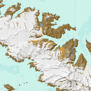
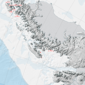
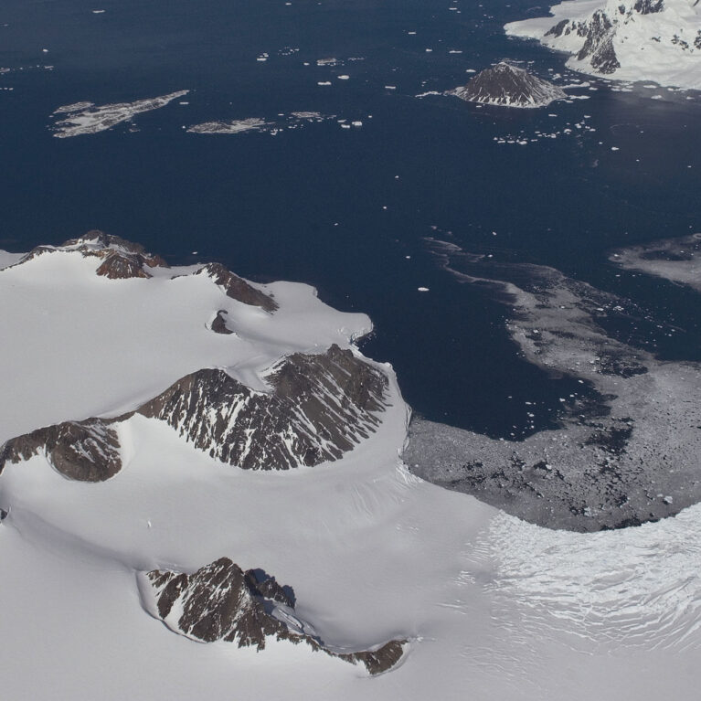
Antarctic Digital Database
The SCAR ADD is a seamless compilation of topographic data for Antarctica to 60°S. It is the place to go to get data such as Antarctic coastline or contours for working in desktop GIS.
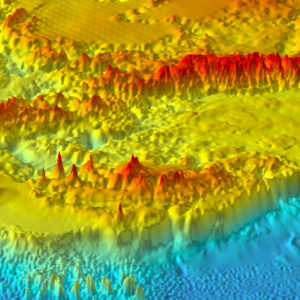
Bedmap
Bedmap is a collaborative community that has produced maps and datasets of Antarctic ice thickness and bed topography
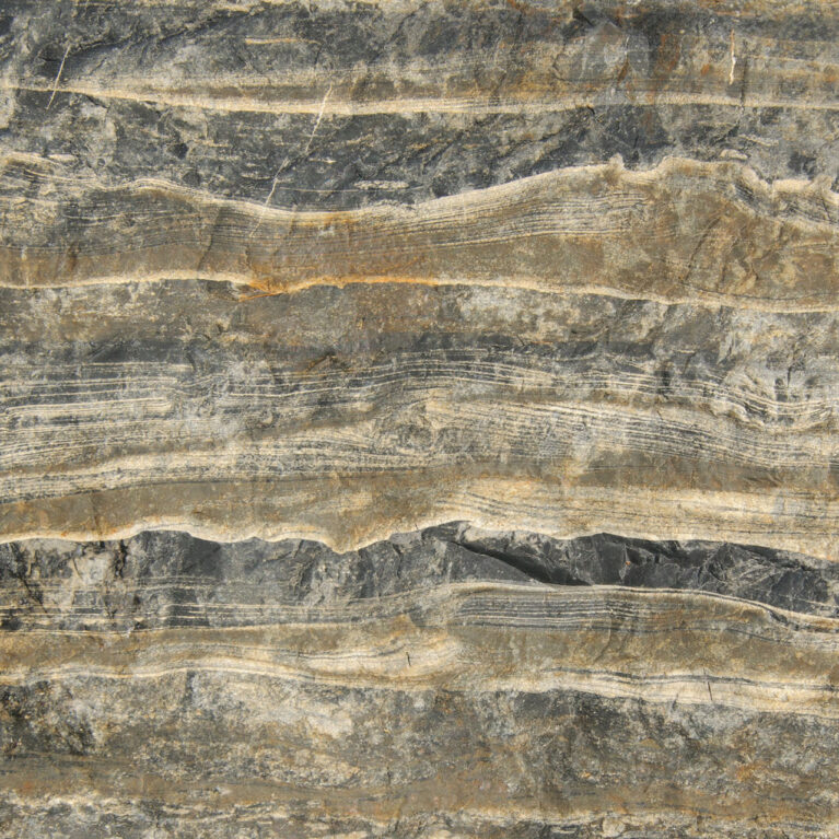
British Antarctic Survey Geological Collection
Explore the Antarctic rock collection online. Many of these specimens are stored at BAS and are available for academic research.
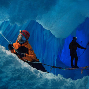
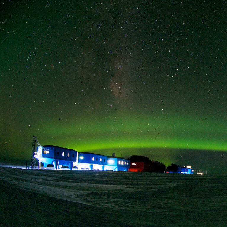
British Antarctic Survey image & video library
Our image collection spans decades of scientific endeavour in Antarctica and the Arctic, capturing everything from landmark research milestones to the raw, unspoiled beauty of the world's most remote environments.
British Antarctic Survey Map Catalogue
If you're working in Antarctica or just visiting, it's more than likely you will need maps
Fossils from the Antarctic
Access to online British Antarctic Survey fossil collection

IMAGE Auroral Boundary Data
The objective of this project was to investigate whether magnetic reconnection in the space environment has a characteristic scale in space and time by characterising statistically the spatial and temporal structure of the footprint of reconnection as observed in the Earth’s ionosphere.
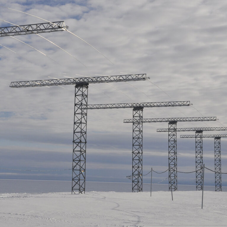
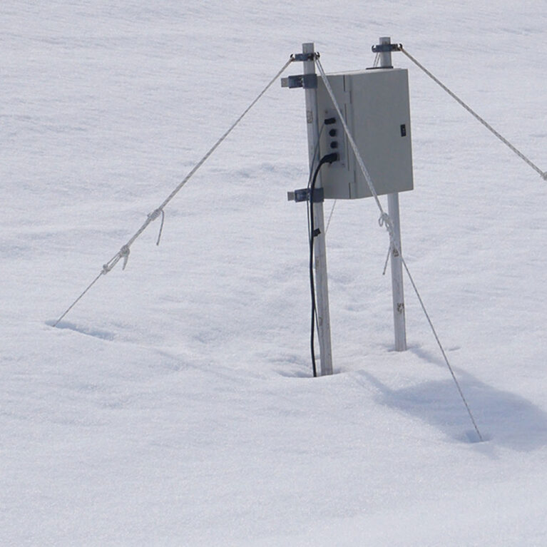
Low Power Magnetometer (LPM) Network
Access data from the Low Power Magnetometer (LPM) network
Marine Metadata Project
Bringing together metadata from many years of BAS marine research creates a clearer record of scientific cruises and the data collected
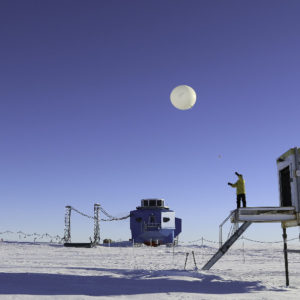
Meteorology and Ozone Monitoring
Long-term meteorological and ozone observations and data help determine the causes of climate change in the polar regions.
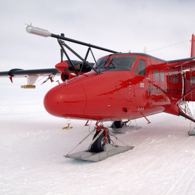
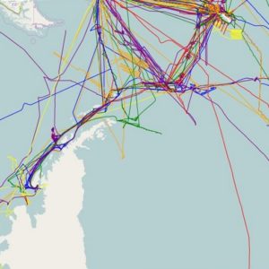
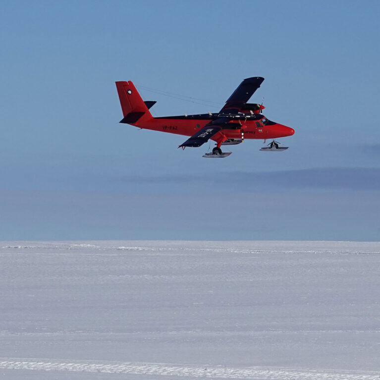
Polar Airborne Geophysics Data Portal
The Polar Airborne Geophysics Data Portal provides direct access to airborne survey data.
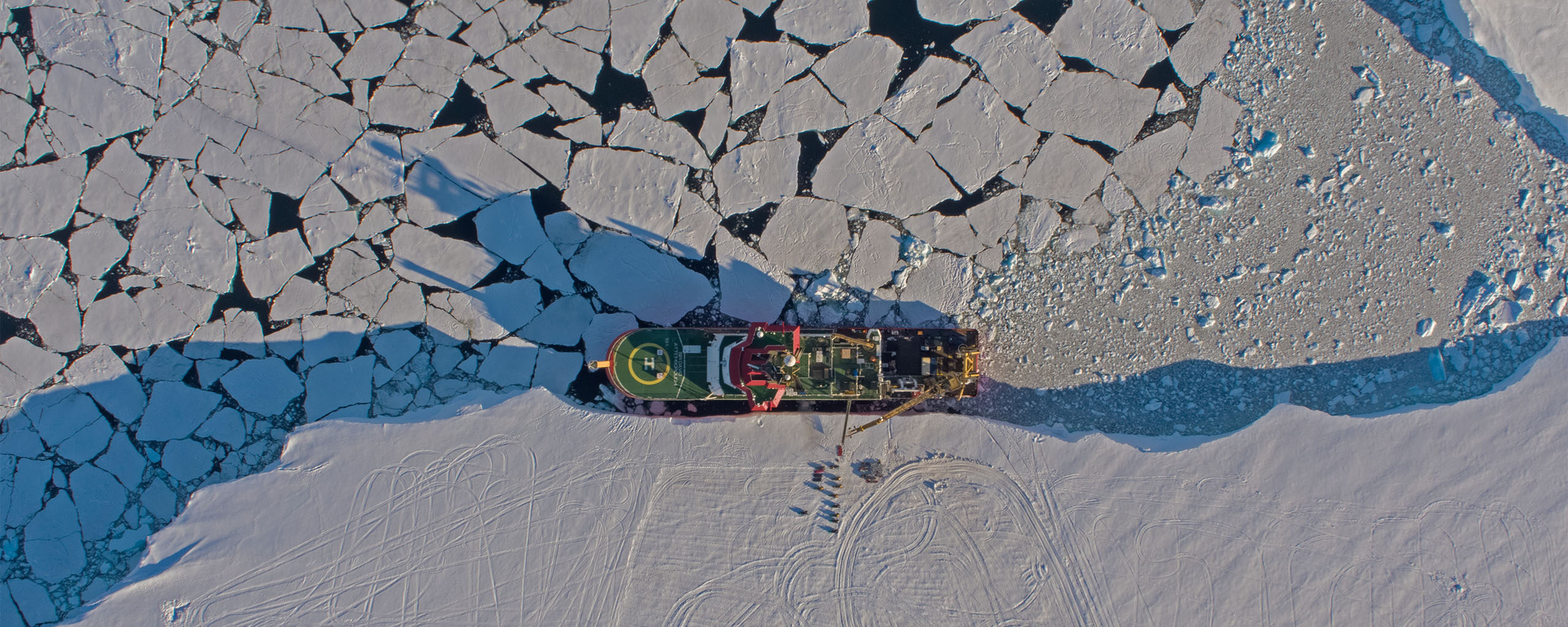
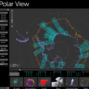
Polar View
Polar View delivers information about sea ice direct to ships operating in the Southern Ocean.
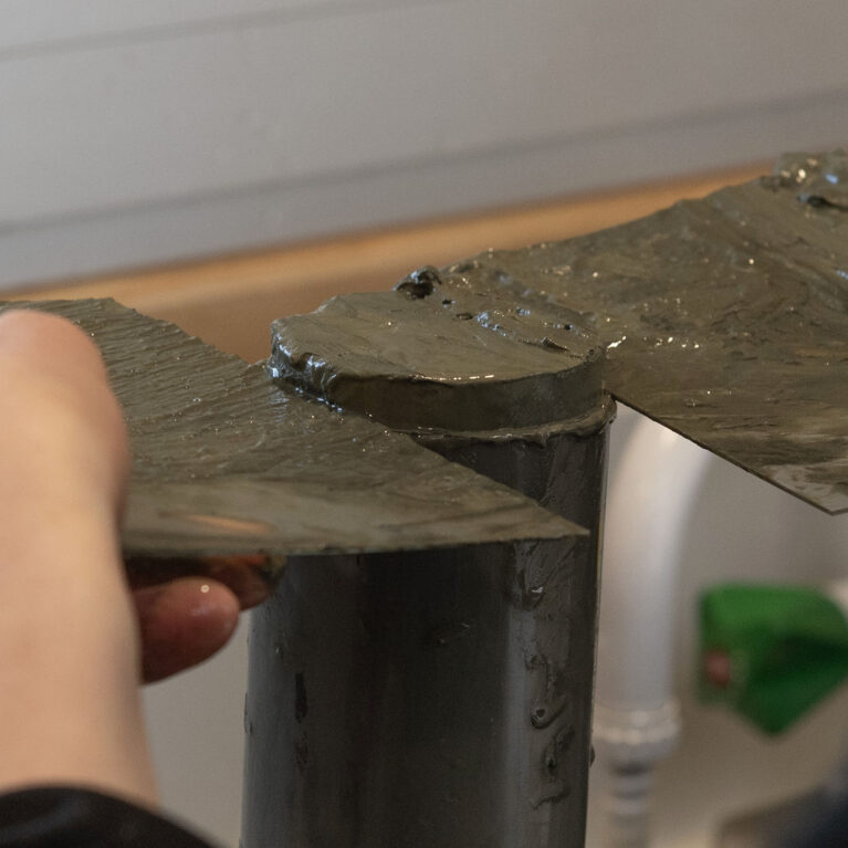
Sediment core collection
The Polar Sediment Core Facility holds cores collected across Antarctica, the polar oceans, and sub-Antarctic islands.
South Georgia GIS
Visualise and download topographic, management and scientific data for South Georgia.