Machine Learning Research Scientist

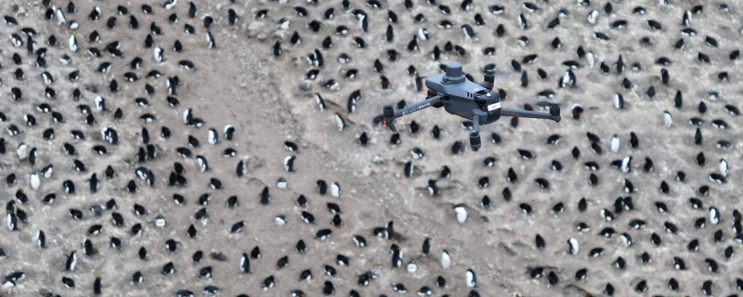
AI environmental image analysis is a digital facility at British Antarctic Survey. It brings together projects across BAS that use AI to automatically detect and measure environmental features in images, from satellites in orbit to cameras on the seabed. These tools begin as research projects, and some are being developed into use for iceberg tracking and climate monitoring.
The polar regions are vast, remote and changing fast, and much of them can’t be reached by traditional monitoring. Satellites and cameras now capture far more images than people could ever look through by hand. Machine learning and computer vision turn those images into scientific observations quickly, accurately and at scale. This saves time and money, and lets us track icebergs, map sea ice and survey seafloor life across huge areas and decades of data.
Satellites. We use radar (SAR), which sees through cloud and polar darkness, alongside optical imagery from Copernicus, MODIS, Planet and WorldView-3. Combining different satellites gives a more complete and reliable picture of the ice.
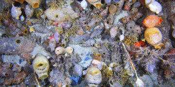
Cameras. Towed camera systems capture high-resolution images of the Southern Ocean seafloor, one of the least explored habitats on Earth. Our models automatically find and identify seafloor animals in these images, sorting them into 25 different types.
Our models are trained to find and classify features in images, from icebergs hidden in sea ice to individual seafloor animals. Some learn from labelled examples, others find patterns without them. Combining different types of imagery makes detection more reliable. Automated pipelines then process huge volumes of data quickly and consistently.
Our tools are developed by teams across British Antarctic Survey. The Mapping and GIS and Research Software Engineering teams help turn them into tools used in science and operations. Our expertise has been called on in projects with many collaborators, including the European Space Agency, the US National Snow and Ice Data Center, the Norwegian Ice Service, the Alan Turing Institute, the University of Victoria, the University of Cambridge and the Alfred Wegener Institute.
Machine Learning Research Scientist

Machine Learning Research Scientist
Polar Artificial Intelligence team, BAS Science Strategy Executive Group

Machine Learning Research Scientist

Machine Learning Research Scientist
Polar Artificial Intelligence team, Palaeo Environments, Ice Sheets and Climate Change team

Machine Learning Research Scientist
Senior Research Software Engineer

Palaeobiologist
Marine Biogeographer
Head of MAGIC
QUASAR uses AI to improve Antarctic sea ice measurements from satellites, making climate data more reliable for scientists tracking changes in polar regions.
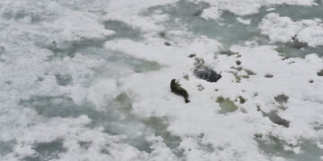
Antarctic seafloor ecosystems are both unique and fragile. Studying their past and present gives us valuable insights into how climate change may reshape them.