NEWS STORY: Sea level rise calculated
British Antarctic Survey researchers part of landmark study to improve projections for future sea level
An international team of satellite experts including researchers at British Antarctic Survey has produced the most accurate assessment of ice losses from Antarctica and Greenland to date, ending 20 years of uncertainty.
In a landmark study, published on 30 November in the journal Science, the researchers show that melting of the Antarctic and Greenland ice sheets has contributed 11.1 millimetres to global sea levels since 1992. This amounts to one fifth of all sea-level rise over the survey period (1992 – present day).
About two thirds of the ice loss was from Greenland, and the remainder was from Antarctica.
Although the ice sheet losses fall within the range reported by the Intergovernmental Panel on Climate Change (IPCC) in 2007, the spread of the IPCC estimate was so broad that it was not clear whether Antarctica was growing or shrinking. The new estimates are a vast improvement (more than twice as accurate) thanks to the inclusion of more satellite data, and confirm that both Antarctica and Greenland are losing ice.
The study also shows that the combined rate of ice sheet melting has increased over time and, altogether, Greenland and Antarctica are now losing more than three times as much ice (equivalent to 0.95 mm of sea level rise per year) as they were in the 1990s (equivalent to 0.27 mm of sea level rise per year).
The Ice Sheet Mass Balance Inter-comparison Exercise (IMBIE) is a collaboration between 47 researchers from 26 laboratories, and was supported by the European Space Agency (ESA) and the National Aeronautics and Space Administration (NASA).
The study combines observations from 10 different satellite missions to develop the first consistent measurement of polar ice sheet changes. The researchers were able to understand the apparent differences between dozens of earlier ice sheet studies through careful use of matching time periods and survey areas, and by combining measurements collected by different types of satellites.
Dr Hamish Pritchard of the British Antarctic Survey said:
“Different satellite measurements have different strengths and weaknesses. By bringing them together we now have a much better idea of what’s been happening to the Greenland and Antarctic ice sheets. Over just the last 20 years, they’ve lost enough ice to push up the sea level by a centimetre all around the world. What’s really useful about these results is that they also show us why. Snowy years in Antarctica and warm summers in Greenland have had a big, but variable effect on the size of the ice sheets. Underlying this, though, many glaciers have accelerated and have steadily drained ice into the sea.”
Professor Andrew Shepherd at the University of Leeds coordinated the study. He said:
“The success of this venture is due to the cooperation of the international scientific community, and due to the provision of precise satellite sensors by our space agencies. Without these efforts, we would not be in a position to tell people with confidence how the Earth’s ice sheets have changed, and to end the uncertainty that has existed for many years.”
The study also found differences in the pace of change at each pole.
Dr Erik Ivins at NASA’s Jet Propulsion Laboratory also coordinated the project, said:
“The rate of ice loss from Greenland has increased almost five-fold since the mid-1990s. In contrast, while the regional changes in Antarctic ice over time are sometimes quite striking, the overall balance has remained fairly constant — at least within the certainty of the satellite measurements we have to hand.”
A reconciled estimate of ice sheet mass balance: A. Shepherd et al is published in Science on 30 November 2012, DOI: 10.1126/science.1228102.
Scientist contacts:
- Dr Hamish Pritchard, British Antarctic Survey; Tel: +44 (0) 1223 221293; mobile: +44 (0) 7404 089 138; email: hprit@bas.ac.uk
To request an interview with Prof Andrew Shepherd, School of Earth & Environment, University of Leeds, please contact
- Esther Harward, University of Leeds Communications Office; Tel: +44 (0) 113 343 4196; email: e.harward@leeds.ac.uk
British Antarctic Survey Press Office contacts:
- Heather Martin: Tel: +44 (0)1223 221226; mobile: 07740 822 229, email: hert@bas.ac.uk
- Audrey Stevens: Tel: +44 (0)1223 221414; mobile: 07736 921 693, email: auev@bas.ac.uk
Notes for editors:
The ten satellite missions providing data for this study are the first and second ESA European Remote Sensing satellites (ERS-1 and ERS-2); the Japan Aerospace Exploration Agency (JAXA) Advanced Land Observatory System (ALOS) ; the Canadian Space Agency (CSA) RADARSAT-1 and RADARSAT-2 satellites; the NASA Ice, Cloud, and land Elevation Satellite (ICESat); the ESA Envisat satellite; the NASA / German Aerospace Center (DLR) Gravity Recovery and Climate Experiment (GRACE); the Italian Space Agency (ASI) COSMO-SkyMed satellite, and the DLR TerraSAR-X satellite.
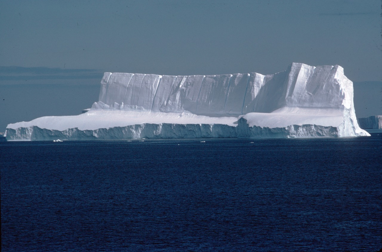
- Ice sheet
- the huge mass of ice, up to 4 km thick that covers bedrock in Antarctica or Greenland. It flows from the centre of the continent towards the coast where it feeds ice shelves.
- Glacier
- a ‘river of ice’ fed by the accumulation of snow. Glaciers drain ice from mountains to lower levels, where the ice either melts, breaks away into the sea as icebergs, or feeds into an ice shelf.
IMBIE was created by ESA and NASA. The study was also supported by a Phillip Leverhulme Prize awarded to Professor Andy Shepherd, the EU FP7 ice2sea program, the Lamont Doherty Earth Observatory, the Netherlands Organization for Scientific Research, the Netherlands Polar Program, the UK Natural Environment Research Council, and the US National Science Foundation.