Explore these pages to access scientific data systems managed by the UK Polar Data Centre (UK PDC) and the Mapping and GIS team. To search for datasets held by the UK PDC, a good place to start is the Discovery Metadata System - a web-based catalogue that allows you to discover and access datasets. Other useful metadata systems include the Antarctic Metadata Directory and the NERC Data Catalogue Service.
Find data
Explore the UK Polar Data Centre metadata catalogue. Please use the system to search for polar datasets held by the UK Polar Data Centre
Atmospheric Data Access System
An online data access tool to discover, visualise and access atmospheric and space weather data holdings from the polar regions.
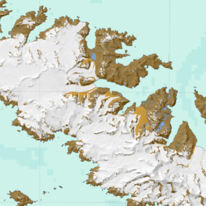
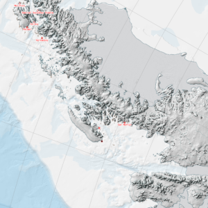
Antarctic Digital Database
The SCAR ADD is a seamless compilation of topographic data for Antarctica to 60°S. It is the place to go to get data such as Antarctic coastline or contours for working in desktop GIS.
ICEMAR
The EC-funded ICEMAR project is a GMES pilot service delivering sea ice information products directly to ships navigating through sea ice in the Arctic.
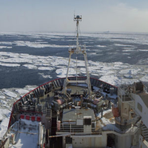
IMAGE Auroral Boundary Data
The objective of this project was to investigate whether magnetic reconnection in the space environment has a characteristic scale in space and time by characterising statistically the spatial and temporal structure of the footprint of reconnection as observed in the Earth’s ionosphere.
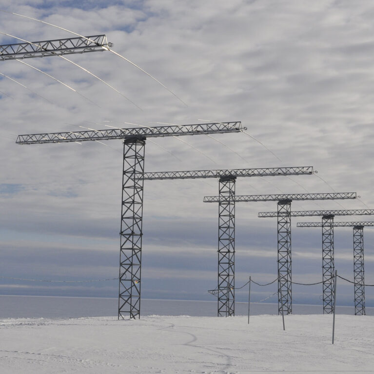
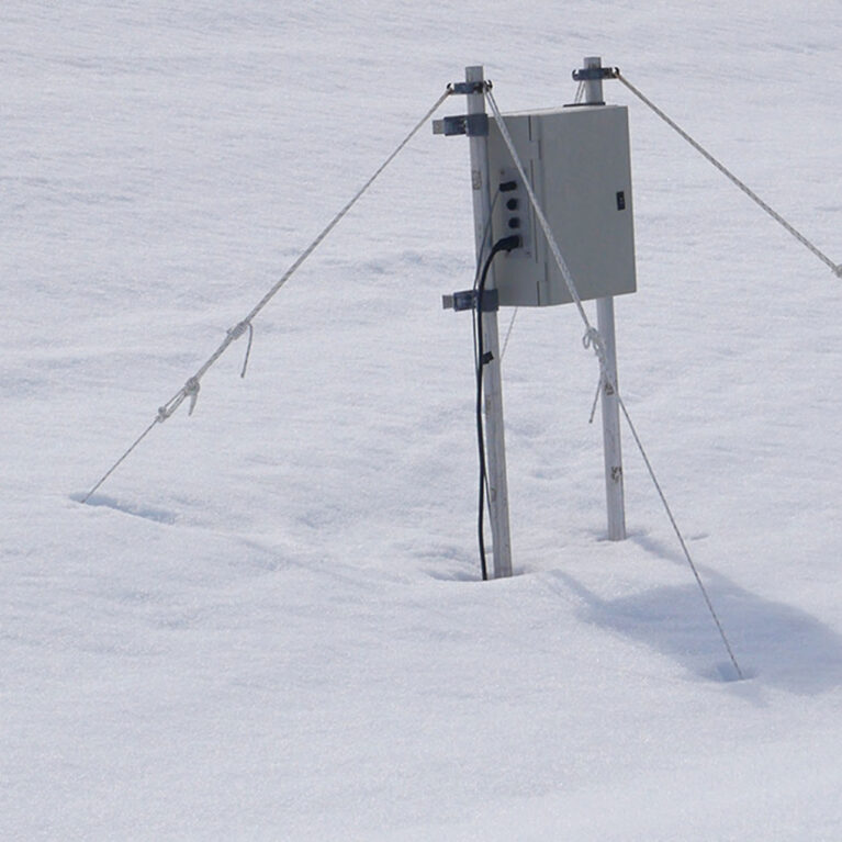
Low Power Magnetometer (LPM) Network
Access data from the Low Power Magnetometer (LPM) network
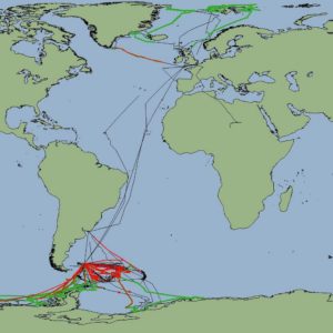
Marine Geophysical Data Portal
An interactive web tool allowing users to search for and visualise marine geophysical data collected on UK research vessels in the polar regions.
Marine Metadata Project
Bringing together metadata from many years of BAS marine research creates a clearer record of scientific cruises and the data collected
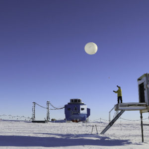
Meteorology and Ozone Monitoring
Long-term meteorological and ozone observations and data help determine the causes of climate change in the polar regions.
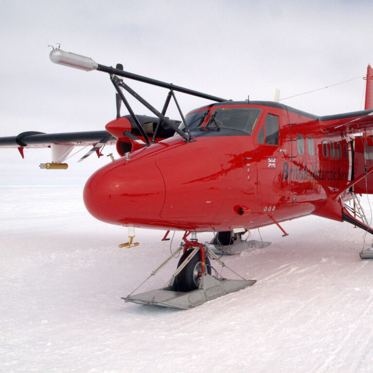
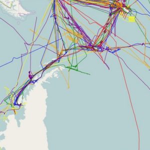
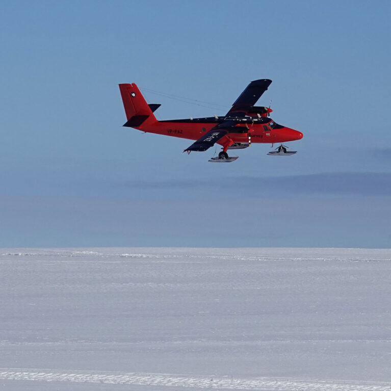
Polar Airborne Geophysics Data Portal
The Polar Airborne Geophysics Data Portal provides direct access to airborne survey data.
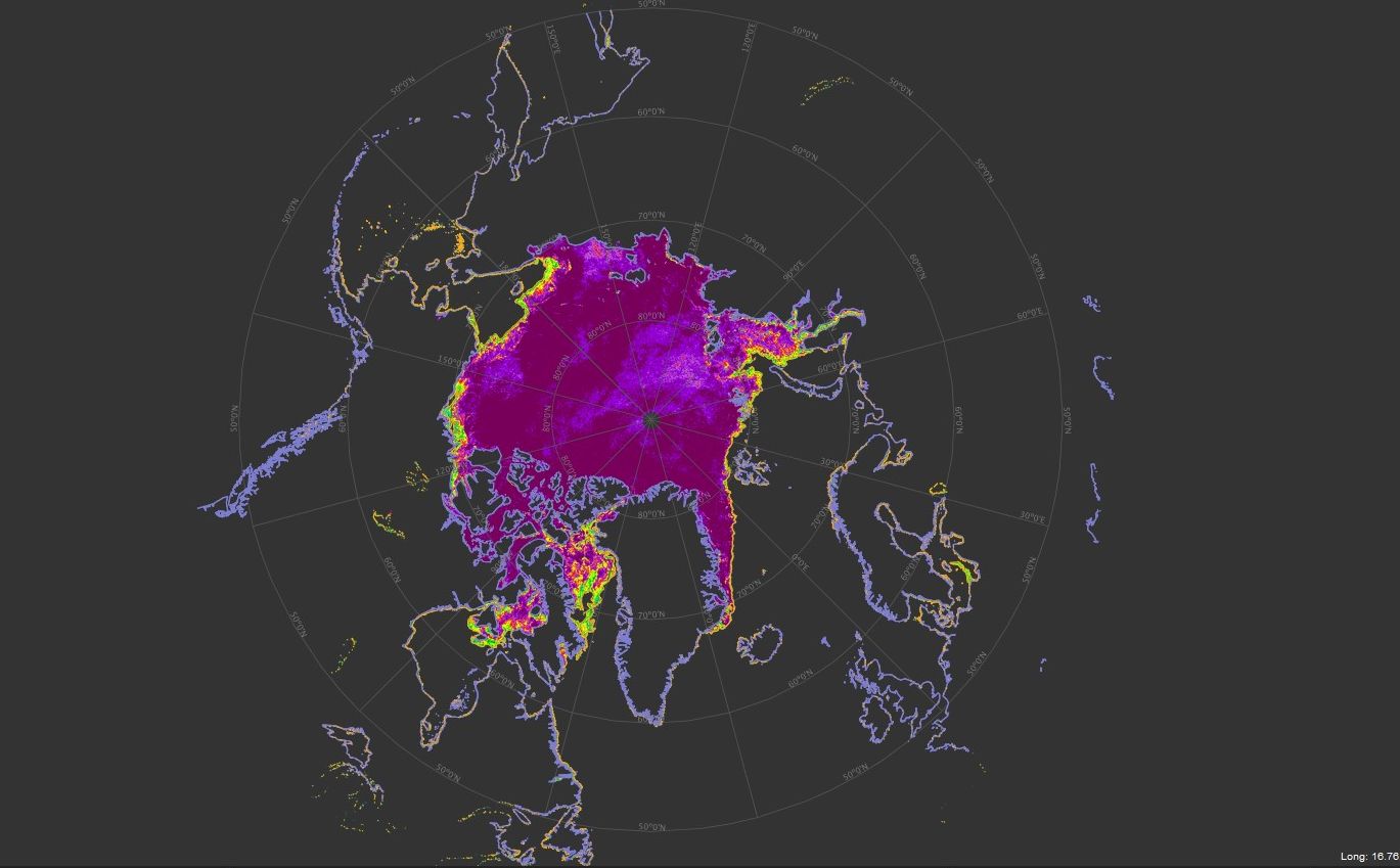
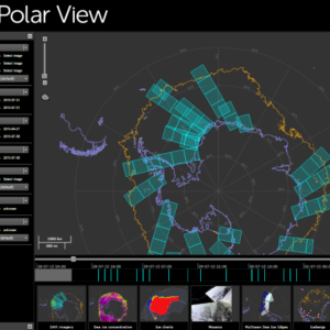
Polar View
Polar View delivers information about sea ice direct to ships operating in the Southern Ocean.
South Georgia GIS
Visualise and download topographic, management and scientific data for South Georgia.