Halley Automation
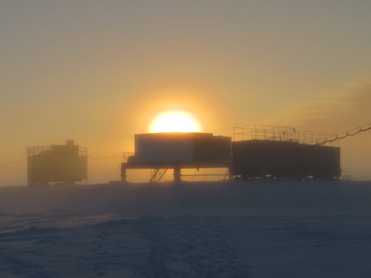
This innovative, multi-year, project created a suite of autonomous scientific instrumentation around Halley Research Station, enabling data collection even when the station may be unoccupied.

133 to 144 of 153 results
This innovative, multi-year, project created a suite of autonomous scientific instrumentation around Halley Research Station, enabling data collection even when the station may be unoccupied.
Our live stream will show selective British Antarctic Survey press conferences, public lectures and other interesting live video feeds.

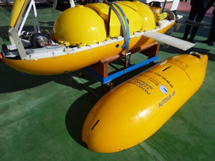
Boaty McBoatface is joining ocean scientists from the University of Southampton and British Antarctic Survey (BAS) on an expedition to study some of the deepest and coldest abyssal ocean waters […]
The first deep-tow boomer survey on the Antarctic continental margin has revealed relict subglacial deltas on the outer continental shelf off the Antarctic Peninsula. Progradation of subglacial deltas is thought […]

Meltwater channels that have formed beneath glaciers and ice sheets have been observed on glaciated terrain, both terrestrial and submarine. Around Antarctica, channels incised into bedrock on the inner continental […]
As spring returns to the southern hemisphere British Antarctic Survey (BAS) has started another research season which will take them over land, sea and ice in search of answers to […]
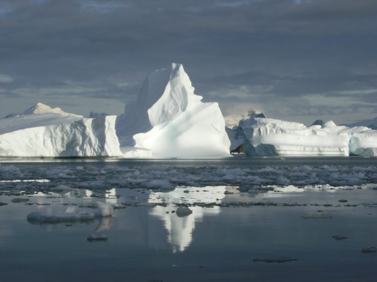
Swath bathymetry Most ice is lost from Antarctica through ice streams. To better predict the future of the Antarctic ice sheet it is important that we improve our understanding of […]
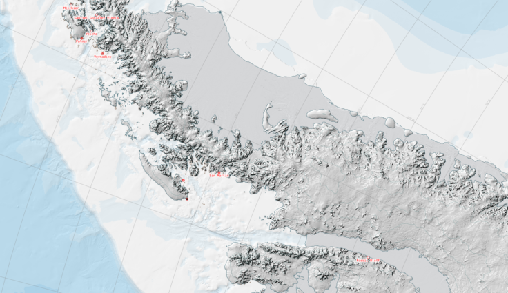
The SCAR ADD is a seamless compilation of topographic data for Antarctica to 60°S. It is the place to go to get data such as Antarctic coastline or contours for working in desktop GIS.
The UK Polar Data Centre provides operational data services and supports scientific activities on British Antarctic Survey ships and stations.
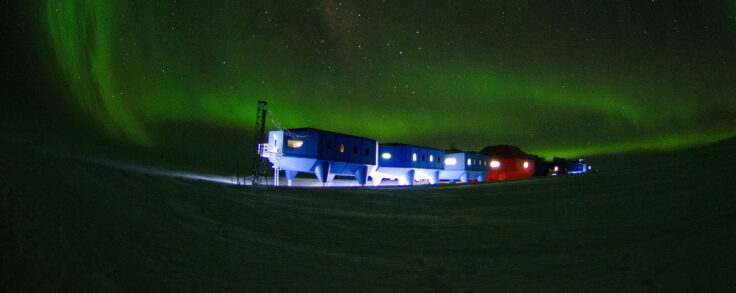
April has been an extraordinarily busy month both work-wise and base-wise. It’s also been a month of change as we have gone from 10 people down to just 4, reflecting […]
New risk index for satellite operators CAMBRIDGE, UK. Scientists, satellite operators, insurance industry and Government policy officials gather this week (7 February 2014) to discuss the latest advances in […]
The Weddell Sea Rift was a major focus for Jurassic extension and magmatism during the early stages of Gondwana break-up and underlies the Weddell Sea Embayment, which separates East Antarctica […]