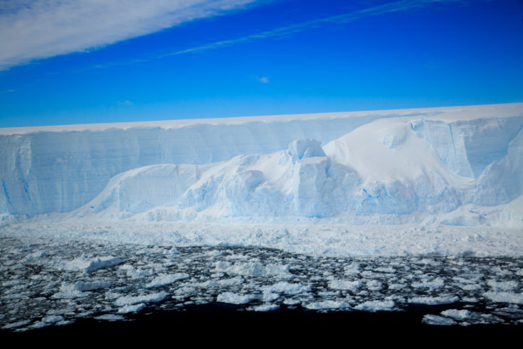
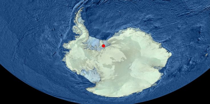
Ground beneath Thwaites Glacier mapped for first time
The ground beneath Antarctica’s most vulnerable glacier has been mapped for the first time, helping scientists to better understand how it is being affected by climate change. Analysis of the […]
13 to 24 of 87 results
The ground beneath Antarctica’s most vulnerable glacier has been mapped for the first time, helping scientists to better understand how it is being affected by climate change. Analysis of the […]
The West Antarctic Ice Sheet is shrinking, with many glaciers across the region retreating and melting at an alarming rate. However, this was not always the case according to new […]
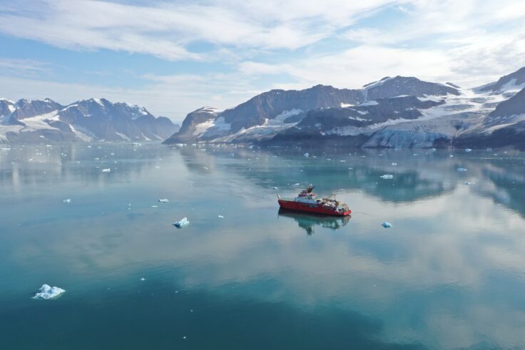
KANG-GLAC studies past and present glacier-ocean changes in southeast Greenland to predict how ice loss will affect ocean circulation, ecosystems and climate.
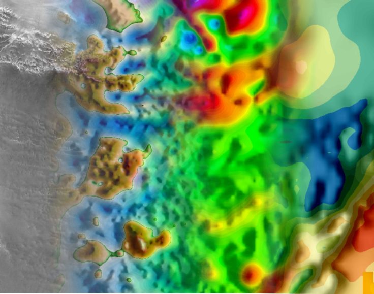
Bedmap is a collaborative community that has produced maps and datasets of Antarctic ice thickness and bed topography
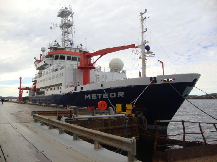
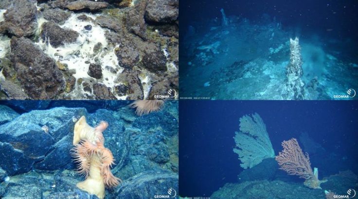
HEXPLORES searches for active hydrothermal vents in the Red Sea Rift. The Rift contains the world’s largest submarine metalliferous sulphide deposit. Yet no active vent systems have been located there.
The international IceAGE project focuses on the collection of genetically useful material for DNA barcoding, population genetics and other molecular analyses of Icelandic marine animals.
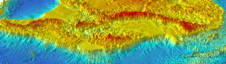
A new map of the seafloor of the Southern Ocean surrounding Antarctica provides the most accurate representation of this vast area to date. An international team of scientists, including several […]
The latest British Antarctic Survey (BAS) Antarctic Digital Database (ADD) data will be included in a world leading collection of geographic information.
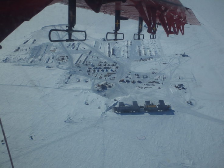
East Antarctica is the least known region of Earth. Studying this remote part of the continent is extremely difficult, requiring researchers to look beneath kilometres of blanketing ice.
The aim of this programme was to image englacial layering and bedrock topography over this sensitive catchment of the West Antarctic Ice Sheet and Antarctic Peninsula.
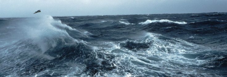
SIWHA investigates how westerly winds and sea ice have influenced CO2 uptake and release in the Southern Ocean.
For the first time, geological records have been used to reconstruct the history of Larsen C Ice Shelf in Antarctica. The ice shelf is the largest remaining remnant of a […]