Digital Twins of the Polar Regions
This project is developing digital twins of Antarctic and Arctic environments and resources. A digital twin makes it possible to test “what if” questions far more quickly than traditional computer models.
13 to 24 of 43 results
This project is developing digital twins of Antarctic and Arctic environments and resources. A digital twin makes it possible to test “what if” questions far more quickly than traditional computer models.
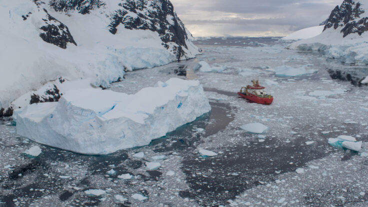
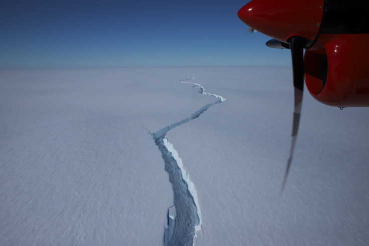
Scientists have deployed a network of seismometers onto Antarctica’s Brunt Ice Shelf in an experiment that will test the instrument’s ability to operate on icy moons in the Solar System. […]
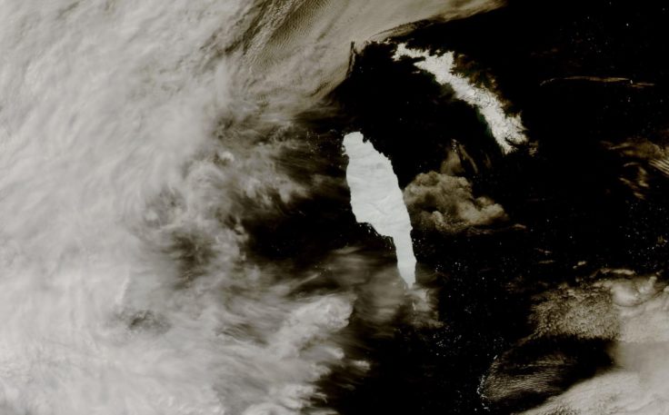
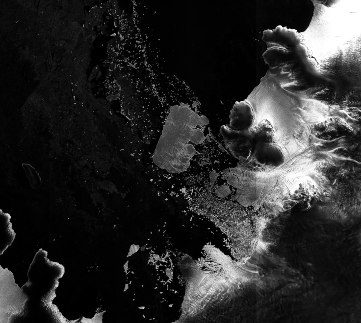
Scientists monitoring the giant A68a iceberg from space reveal that a huge amount of fresh water was released as it melted around the sub-Antarctic island of South Georgia. An […]
Fragmentation occurs when parts of a habitat are lost due to for example change of land use, leaving behind smaller unconnected areas. This makes survival of the species of the […]
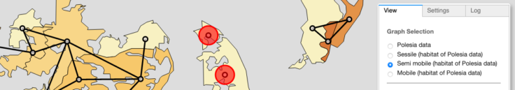
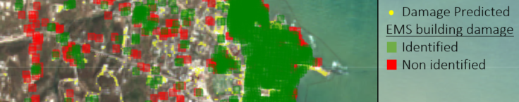
Exposure is one of the corners of the risk triangle, the other parameters being hazard and the vulnerability. In this context exposure is defined as the degree to which elements-at-risk […]
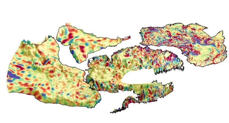
For the first time, an international team of scientists has used satellite magnetic data from ESA’s Swarm mission, together with aeromagnetic data, to help reveal the mysteries of the geology […]
AI4EO Accelerator applies artificial intelligence to the large amounts of Earth Observation satellite data now available,
Applications for PhD projects with British Antarctic Survey (BAS) are now open for October 2021 admission. There are currently over 100 PhD students associated with BAS, working on a huge variety […]

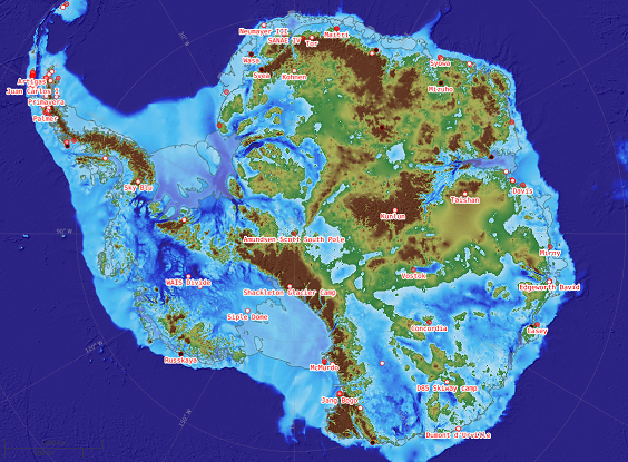
A newly updated Antarctic Digital Database is released today (12 May 2020). Aimed at the science and logistics communities, the maps include updates to the ice shelf front around Thwaites […]
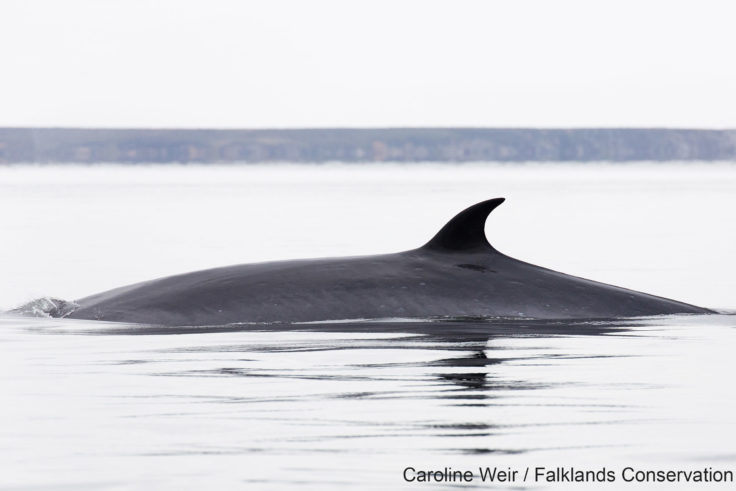
A new technique for analysing satellite images may help scientists detect and count stranded whales from space. Researchers tested a new detection method using Very High Resolution (VHR) satellite images […]
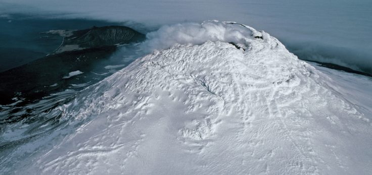
A team of scientists has discovered a rare lava lake on a remote and inaccessible sub-Antarctic island. This volcano in the South Sandwich Islands is only the 8th to be identified worldwide to have a persistent lava lake.
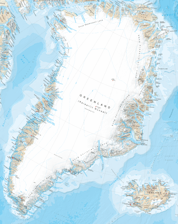
Cartographers at British Antarctic Survey (BAS) has produced the most detailed and up-to-date published map of Greenland available.