Machine Learning Research Scientist
Artificial Intelligence (AI) Lab, BAS Science Strategy Executive Group
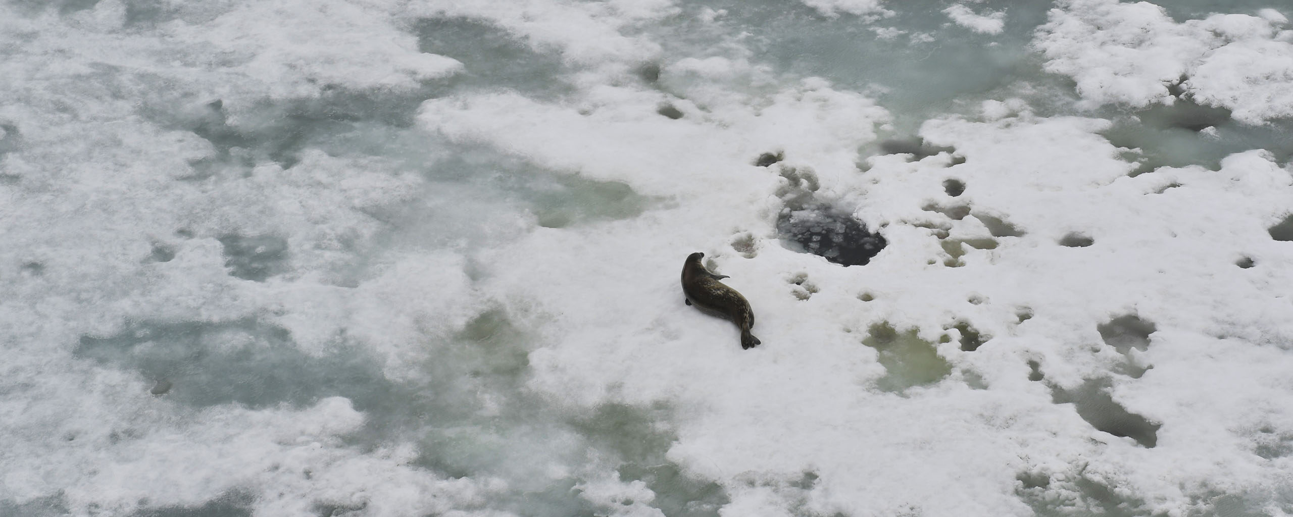
The QUASAR project is improving how we measure Antarctic sea ice from space.
Scientists have been tracking sea ice using satellites since the 1970s. These records are vital for understanding climate change. But the measurements contain uncertainties that we don’t fully understand.
QUASAR will measure these uncertainties for the first time. This will make the sea ice data more reliable and trustworthy.
Sea ice is a critical indicator of climate health. The World Meteorological Organization recognises it as both a Global Climate Indicator and an Essential Climate Variable. These are key measures used to track how Earth’s climate is changing.
Satellite data on sea ice concentration helps scientists in three main ways:
But current satellite measurements have significant problems. The uncertainties are large and poorly understood. Better measurements mean better climate predictions. They help us understand what’s happening in Antarctica as the planet warms.
QUASAR uses artificial intelligence to create more accurate sea ice maps. The team compares these new maps with decades of older satellite data. This reveals where and when the old measurements are least reliable.
The project focuses on Antarctic sea ice. It uses advanced machine learning to analyse thousands of satellite images. These images come from different types of satellites that see the ice in different ways.
The team is building an automated system to process huge amounts of satellite data quickly and consistently. This allows researchers to analyse patterns across several decades.
The project aims to:
QUASAR brings together machine learning researchers, software engineers, and sea ice specialists. The international team includes scientists from:
The project is funded by the Natural Environment Research Council (NERC) and US National Science Foundation.
Machine Learning Research Scientist
Artificial Intelligence (AI) Lab, BAS Science Strategy Executive Group
Geospatial Systems Architect
Head of MAGIC
Machine Learning Research Scientist
Sea Ice Physicist