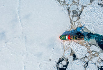
Nilas – a new approach to sea ice forecasting
Nilas produces high resolution, physically realistic sea ice forecasts which outperform physical models for the 1 to 15 day range.
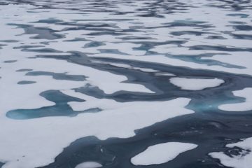

I’m a Research Software Engineer in the Digital Innovation Team (DIT). As part of the DIT, I work with researchers across BAS to make their code robust, reproducible and easier for others to build on.
I joined BAS in June 2026, having previously worked in climate science. I studied in Germany and the UK, completing an MRes in Climate and Atmospheric Science at the University of Leeds, before moving to Australia for a PhD at the University of Wollongong. My PhD research looks at how rainfall drives filling events in ephemeral lakes across Northern Australia. These lakes are remote and only fill occasionally, so the data is patchy: satellite records with gaps, rainfall grids built on sparse station networks, and palaeoclimate records with uncertain dates. A lot of my PhD has gone into building pipelines that bring these sources together, which is how I got into research software engineering, and why I’m comfortable working with messy, mismatched environmental data.
Outside my work at BAS, I’m active in the wider RSE community, as I value the connections and mutual support that come from being part of a professional community. Within the Society of Research Software Engineering, I co-chair the Geoscience RSE Special Interest Group, which brings together RSEs working in the earth and environmental sciences. I also contribute to the Society as the Environmental Sustainability Chair on the RSECon27 conference committee. In this role, I’ll be helping organise next year’s conference, which has a focus on green computing.
Nilas produces high resolution, physically realistic sea ice forecasts which outperform physical models for the 1 to 15 day range.
GIANT is a pioneering science project that will test the potential for early warning of a critical climate tipping point.
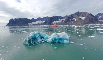
PolarSim delivers AI forecasting, modelling, downscaling and emulation tools for the polar regions
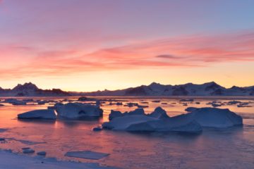
Logist develops decision support tools that use environmental data to help experts make the best routing and planning decisions.