Antarctic Digital Database
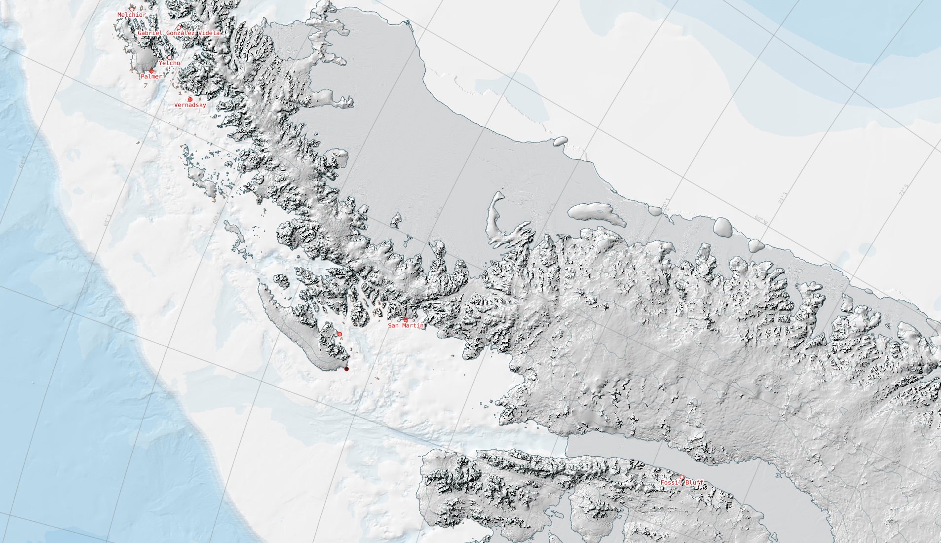
The SCAR ADD is a seamless compilation of topographic data for Antarctica to 60°S. It is the place to go to get data such as Antarctic coastline or contours for working in desktop GIS.
The SCAR ADD is a seamless compilation of topographic data for Antarctica to 60°S. It is the place to go to get data such as Antarctic coastline or contours for working in desktop GIS.
An online data access tool to discover, visualise and access atmospheric and space weather data holdings from the polar regions.
Bedmap is a collaborative community that has produced maps and datasets of Antarctic ice thickness and bed topography
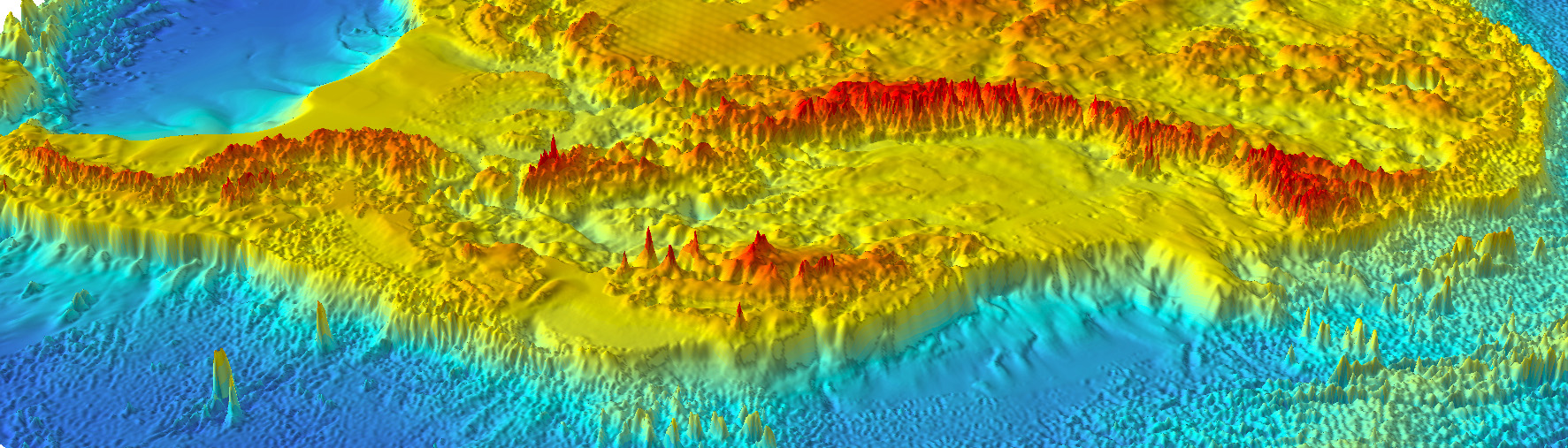
Bedmap2 is a suite of gridded products describing surface elevation, ice-thickness and the sea floor and subglacial bed elevation of the Antarctic.
Bedmap3 is a collaborative community project with the aim to produce a new map and datasets of Antarctic ice thickness and bed topography.

DATA AS ART visualises science data to create stunning and thought-provoking artworks, using real Antarctic data-sets that explain important and exciting science stories.
Explore the UK Polar Data Centre metadata catalogue. Please use the system to search for polar datasets held by the UK Polar Data Centre
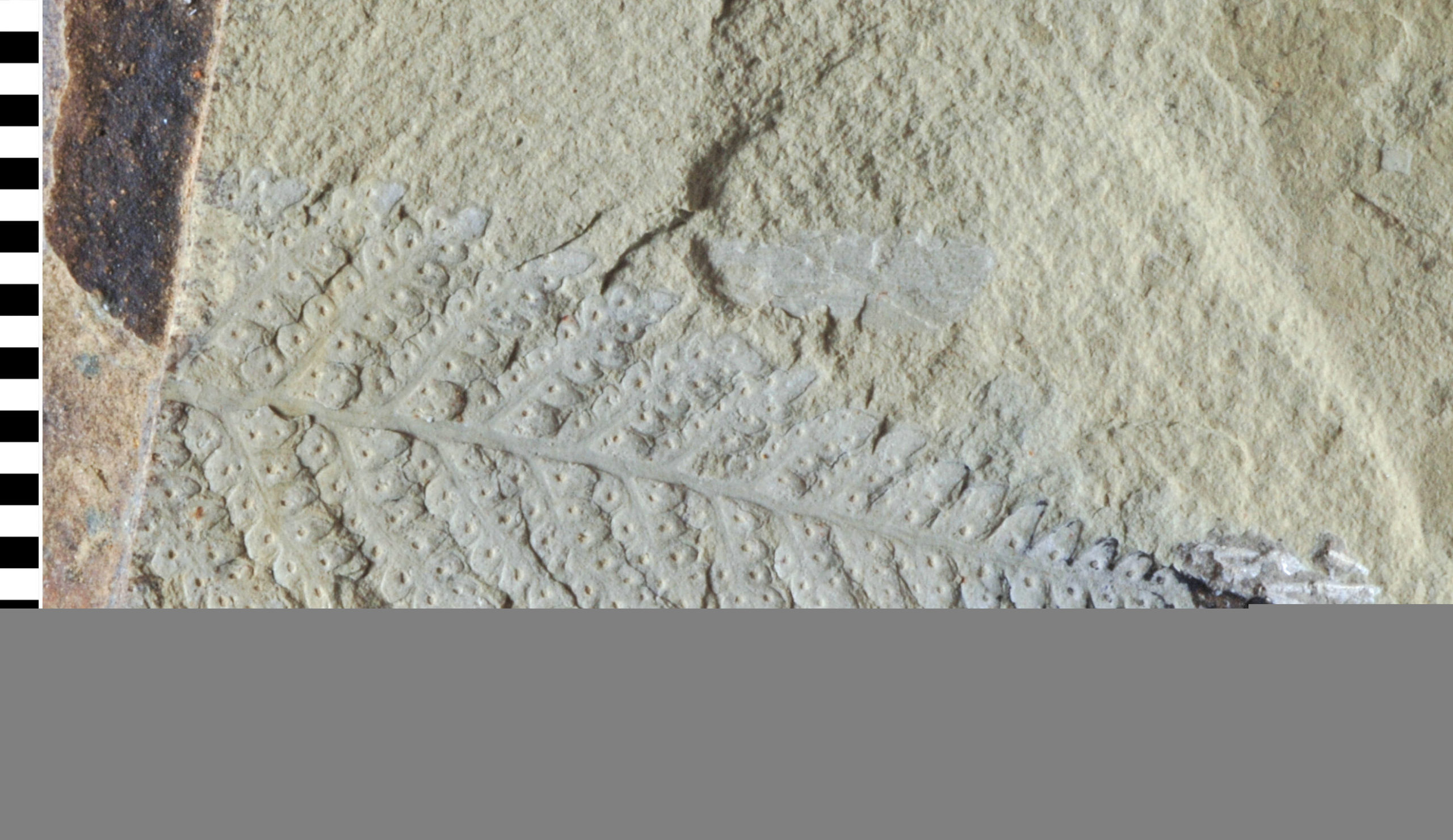
Contains over 200,000 individual rock and fossil specimens collected from Antarctica and the sub-Antarctic islands and thousands of meters of sediment core from the surrounding seabed.
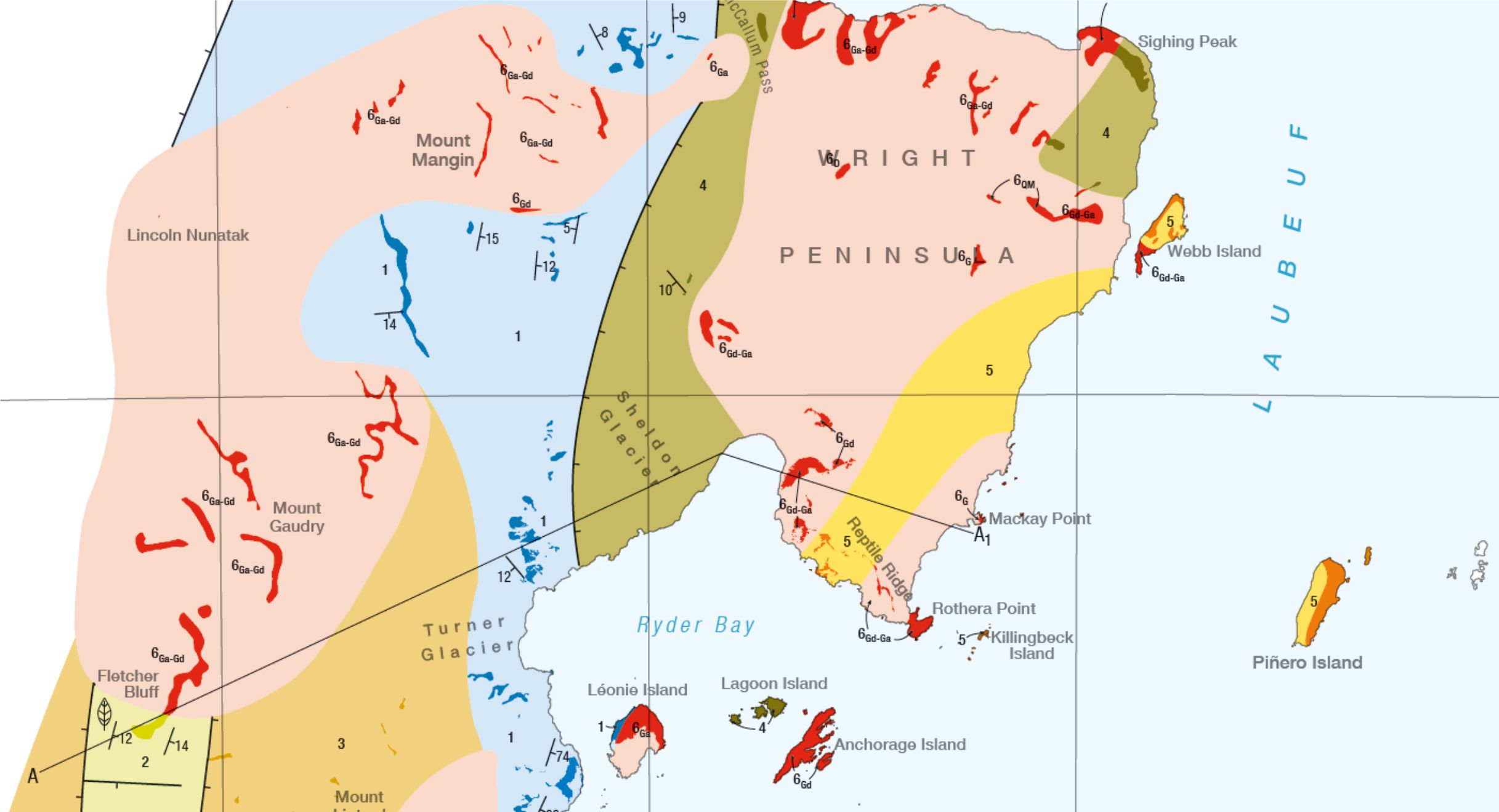
A project to compile over 50 years of geological field data into new geological maps has already seen the publication of six new sheets.
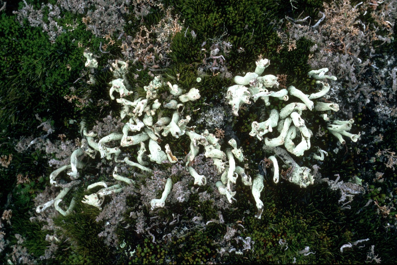
A collection of dried plant specimens from the Antarctic, sub-Antarctic and surrounding continents.
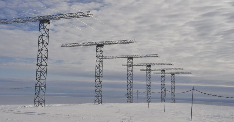
The objective of this project was to investigate whether magnetic reconnection in the space environment has a characteristic scale in space and time by characterising statistically the spatial and temporal structure of the footprint of reconnection as observed in the Earth’s ionosphere.
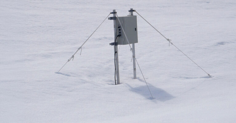
Access data from the Low Power Magnetometer (LPM) network