Marine Ecologist IMP 3
Spatial Segregation of Seabirds at South Georgia
Spatial Segregation of Seabirds at South Georgia
- Start date:
- 1 March, 2021
- End date:
- 31 July, 2026
What this project does
Seabirds are among the most threatened birds worldwide. A major cause is incidental mortality (bycatch) in fisheries.
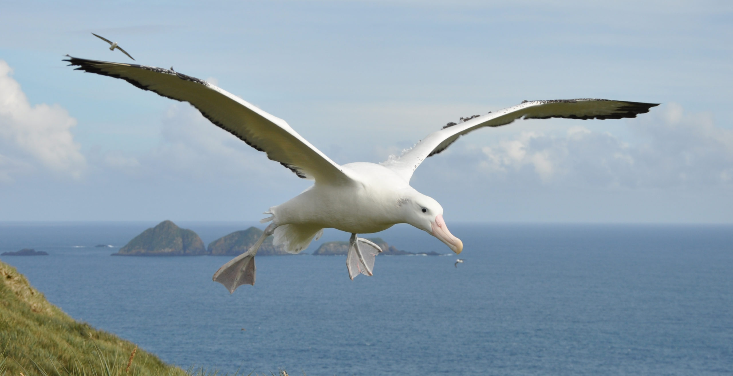
In South Georgia, wandering albatrosses have declined since the 1970s. The Agreement on the Conservation of Albatrosses and Petrels (ACAP) lists them as one of nine global high-priority populations for conservation.
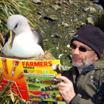
Another South Georgia species, the white-chinned petrel, is listed as Vulnerable by the IUCN. It is also the seabird most often caught accidentally in Southern Ocean fisheries.
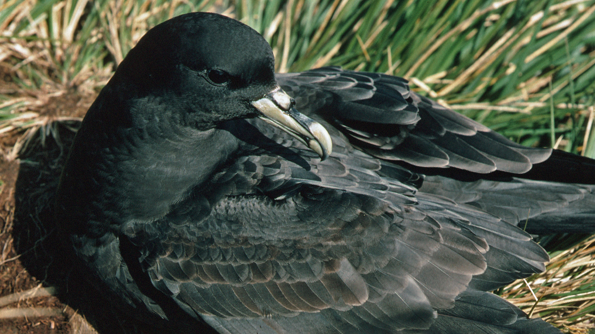
White-chinned petrel at Bird Island, South Georgia (Pete Bucktrout)
South Georgia holds globally important populations of albatrosses and petrels.
Local fisheries have reduced bycatch to negligible levels. However, these birds still face risks from longline and trawl fisheries elsewhere in the Southern Ocean.
Population decline also varies between colonies around South Georgia.
Tracking data
Tracking data from Bird Island research station show overlap with many fisheries, both inside Exclusive Economic Zones (EEZs) and on the High Seas. But no tracking data exist from other breeding sites.
Birds from different colonies may face different risks depending on season and fleet activity.
By comparing foraging patterns between colonies, researchers can better understand bycatch risks. This helps target conservation at the right places and times.
How the project works
Researchers attach Platform Terminal Transmitters to breeding seabirds at Bird Island, King Edward Point, Cooper Island, and Prion Island.
The species tracked include white-chinned petrels and wandering albatrosses.
Movements are monitored in near real-time through the Argos system. These data show where birds travel, how they forage, and where their ranges overlap with fisheries.
Who is involved
The project is funded by Darwin Plus, the GSGSSI, and Friends of South Georgia Island.
We aim to characterise variation in colony-specific overlap of birds with fishing fleets, identify high-risk areas, and help focus engagement with fisheries to better understand and address impacts of bycatch on these threatened species.
-
-
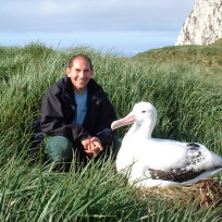
Seabird Ecologist Deputy Science Leader IMP 3
-
PhD Student
-
E Fellow
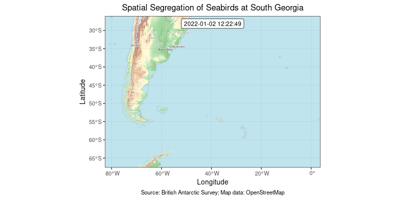
The following maps show animations of satellite tracked locations generated using moveVis.
December 2022 deployments
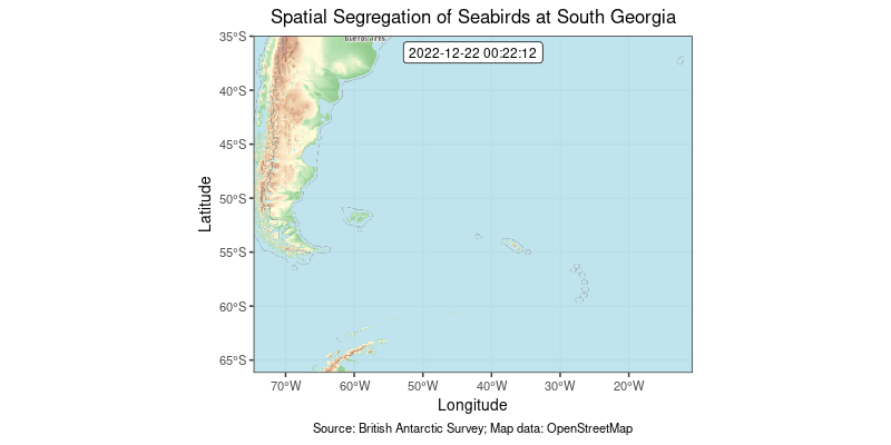
January 2022 deployments
-
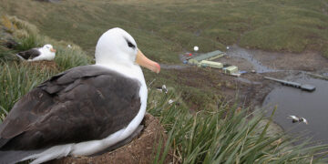
Bird Island Research Station
Read more of: Bird Island Research StationThe Bird Island Research Station focuses on the long-term study of seabirds and seals in one of the world’s richest wildlife sites.