Geological maps remain the most effective method of communicating large amounts of geological information.
A project to compile over 50 years of geological field data into new geological maps has already seen the publication of six new sheets.
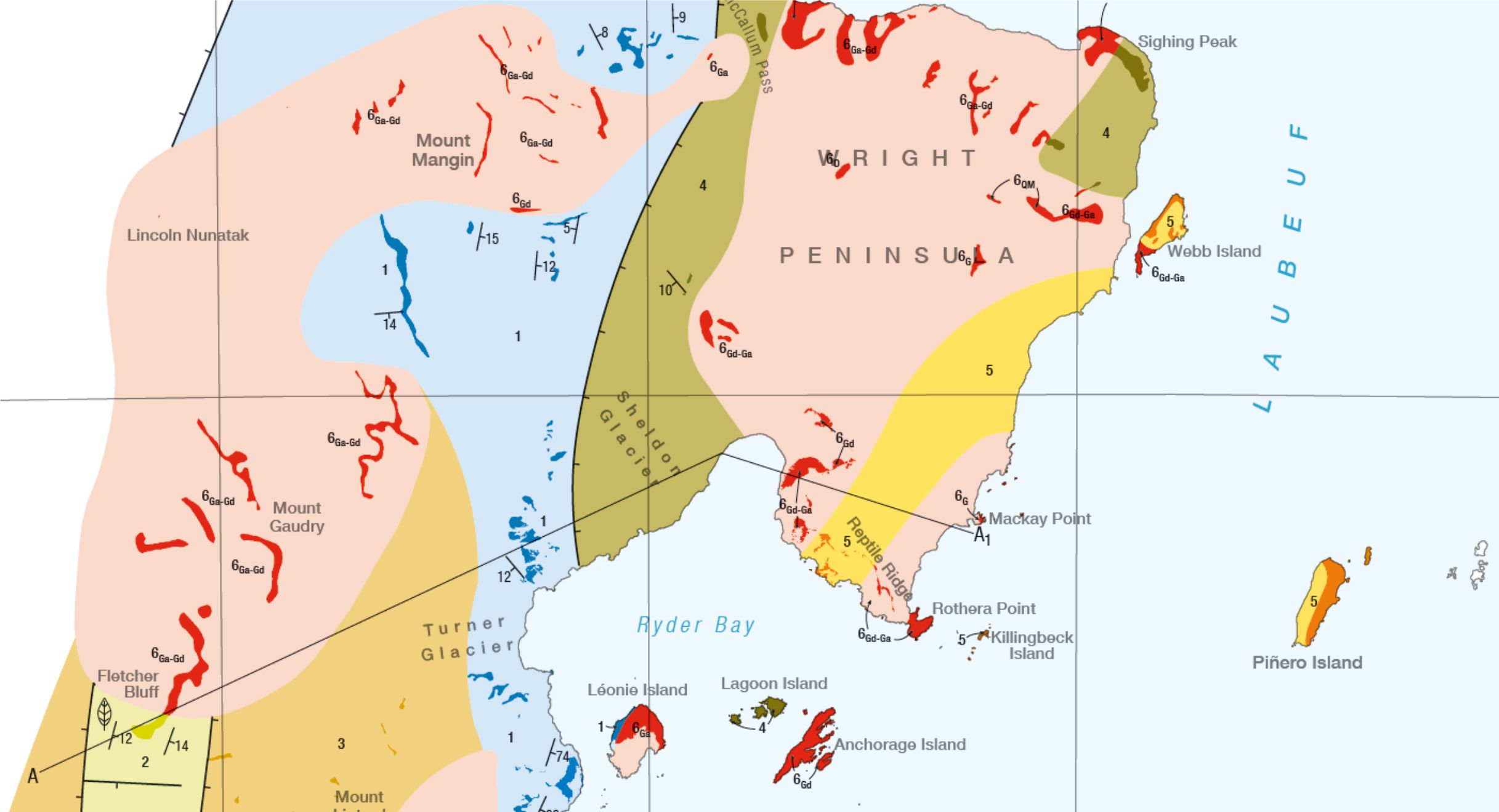
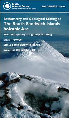
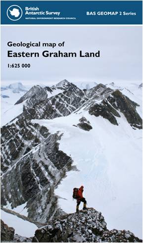
These include a 1:625 000 map of the northern Antarctic Peninsula (eastern Graham Land) which is the first truly interpretative geological map of the Antarctic Peninsula as well as a combined terrestrial and offshore bathymetric map of the South Sandwich Islands intra-oceanic island arc.
These maps form the first part of a new series aiming to cover key areas of interest of British Antarctic Territory.