Machine Learning Research Scientist
Artificial Intelligence (AI) Lab, BAS Science Strategy Executive Group
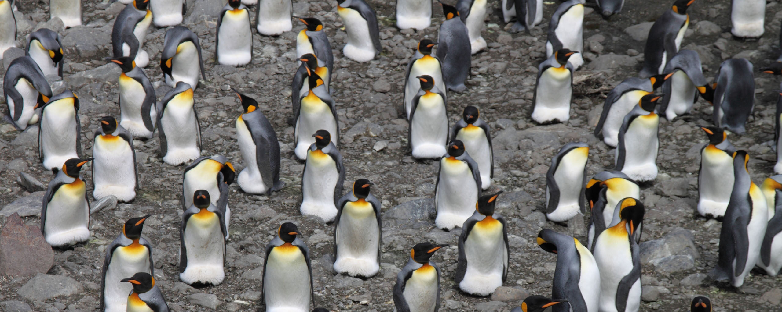
The project develops artificial intelligence (AI) tools to automatically detect environmental features from satellite imagery. These include icebergs, sea ice, ice floes, and wildlife.
The team uses multimodal machine learning approaches, trained on large satellite datasets. Sources include Synthetic Aperture Radar (SAR), multispectral imagery from Copernicus, MODIS, and Planet, as well as Worldview 3 and other commercial products.
Satellite imagery is now available at higher resolution and coverage than ever before. AI techniques allow rapid and accurate identification of key environmental features at scale.
This improves iceberg tracking, monitoring of sea ice, and navigation support for research vessels. It also strengthens climate records and supports safe and efficient polar operations.
AI for Earth observation combines machine learning with a range of satellite data:
The project aims to:
The project is led by British Antarctic Survey scientists in collaboration with national and international partners.
Key collaborators include the Alan Turing Institute, European Space Agency, the US National Snow and Ice Data Center, and the Norwegian Ice Service.
The project aims to:
Machine Learning Research Scientist
Artificial Intelligence (AI) Lab, BAS Science Strategy Executive Group
Machine Learning Research Scientist
Machine Learning Research Scientist
Rogers, M.S., Fox, M., Fleming, A., van Zeeland, L., Wilkinson, J. and Hosking, J.S., 2024. Sea ice detection using concurrent multispectral and synthetic aperture radar imagery. Remote Sensing of Environment, 305, p.114073. https://doi.org/10.1016/j.rse.2024.114073
Evans, B., Faul, A., Fleming, A., Vaughan, D.G. and Hosking, J.S., 2023. Unsupervised machine learning detection of iceberg populations within sea ice from dual-polarisation SAR imagery. Remote Sensing of Environment, 297, p.113780. https://doi.org/10.1016/j.rse.2023.113780