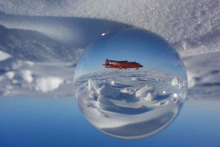
New maps published of Alexander Island, Antarctica
The Mapping and Geographic Information Centre (MAGIC) at the British Antarctic Survey have produced new maps of the topography (physical features) and geology of Alexander Island in Antarctica.
1 to 12 of 43 results
The Mapping and Geographic Information Centre (MAGIC) at the British Antarctic Survey have produced new maps of the topography (physical features) and geology of Alexander Island in Antarctica.
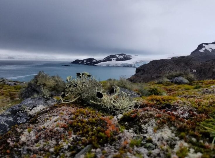
New research released today in Nature Geoscience reveals that vegetation cover on the Antarctic Peninsula has increased more than tenfold in the past four decades.
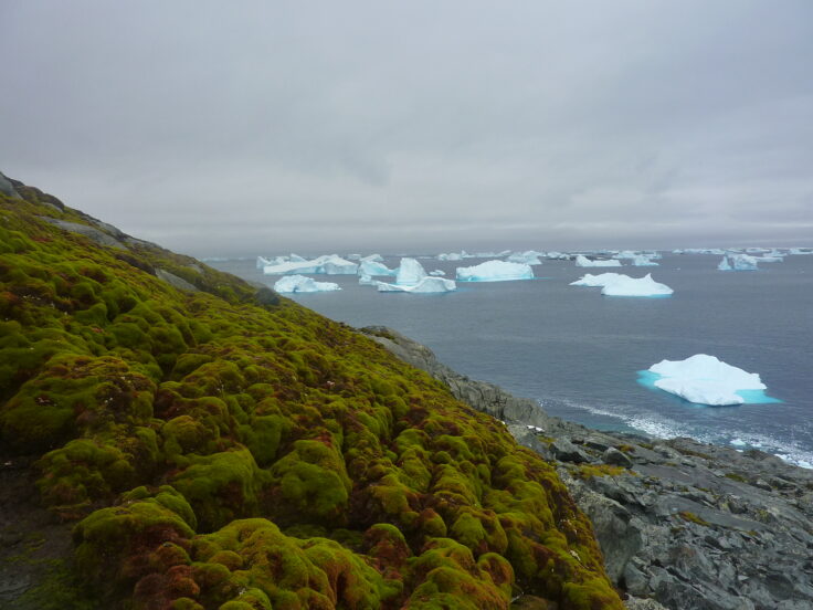
The first continent-wide mapping study of plant life across Antarctica reveals growth in previously uncharted areas, and is set to inform conservation measures across the region.
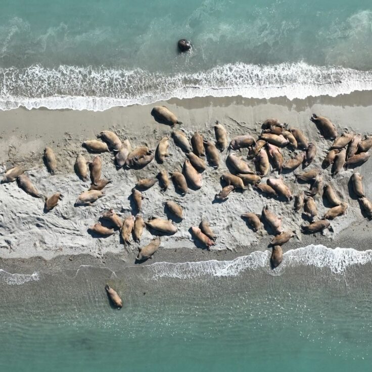
In the first successful attempt to calibrate walrus counts from satellite imagery, scientists used drones to validate animal counts in Svalbard, Norway.
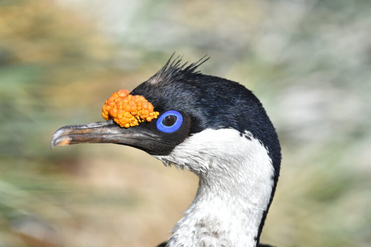
This project tests whether satellite imagery can be used to monitor breeding seabirds across the island group.
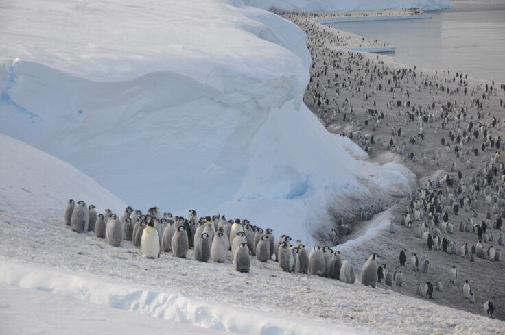
Scientists from British Antarctic Survey have discovered four previously unknown emperor penguin breeding sites.
New measurements of how the boundary between onshore glacier and floating ice shelf glides back-and- forth could help predict melting
The melting of the supergiant iceberg A-68 had a huge impact on the ocean around South Georgia, in sub-Antarctica, and significantly changed the Southern Ocean’s temperature and saltiness, with potentially major consequences for this ecologically significant region.
The ground beneath Antarctica’s most vulnerable glacier has been mapped for the first time, helping scientists to better understand how it is being affected by climate change. Analysis of the […]
A new study highlights how extreme snowfall events significantly alter the amount of ice lost by the West Antarctic Ice Sheet. A team of scientists from British Antarctic Survey, along […]
The overarching goal of the project is to determine the role of sea-ice surface properties in Arctic cyclone dynamics and to characterise the interaction of Arctic cyclones with the summer-time Arctic environment.
HEXPLORES searches for active hydrothermal vents in the Red Sea Rift. The Rift contains the world’s largest submarine metalliferous sulphide deposit. Yet no active vent systems have been located there.