Climate Physicist
Water Resources of the Upper Indus Basin
Helping to understand present and future water availability in the Himalayas
- Start date:
- 1 January, 2018
- End date:
- 1 April, 2020
What this project did
The Indus River Basin supports the world’s largest system of irrigated agriculture, providing water for over 300 million people in India and Pakistan. Demand for freshwater is growing, while climate change, glacier retreat and shrinking snow cover pose serious risks to the region’s water supply.
This project investigated how much water is stored in the glaciers and snow of the Upper Indus Basin, and how climate variability influences water availability. The results provided vital scientific evidence to guide water management and policy decisions.
Why this mattered
The Upper Indus region was poorly studied, with limited data and large uncertainties about future water supplies. Population growth, urbanisation and industrialisation were increasing pressure on these resources. Reliable information was needed to help governments and communities plan for future water security.
How the project worked
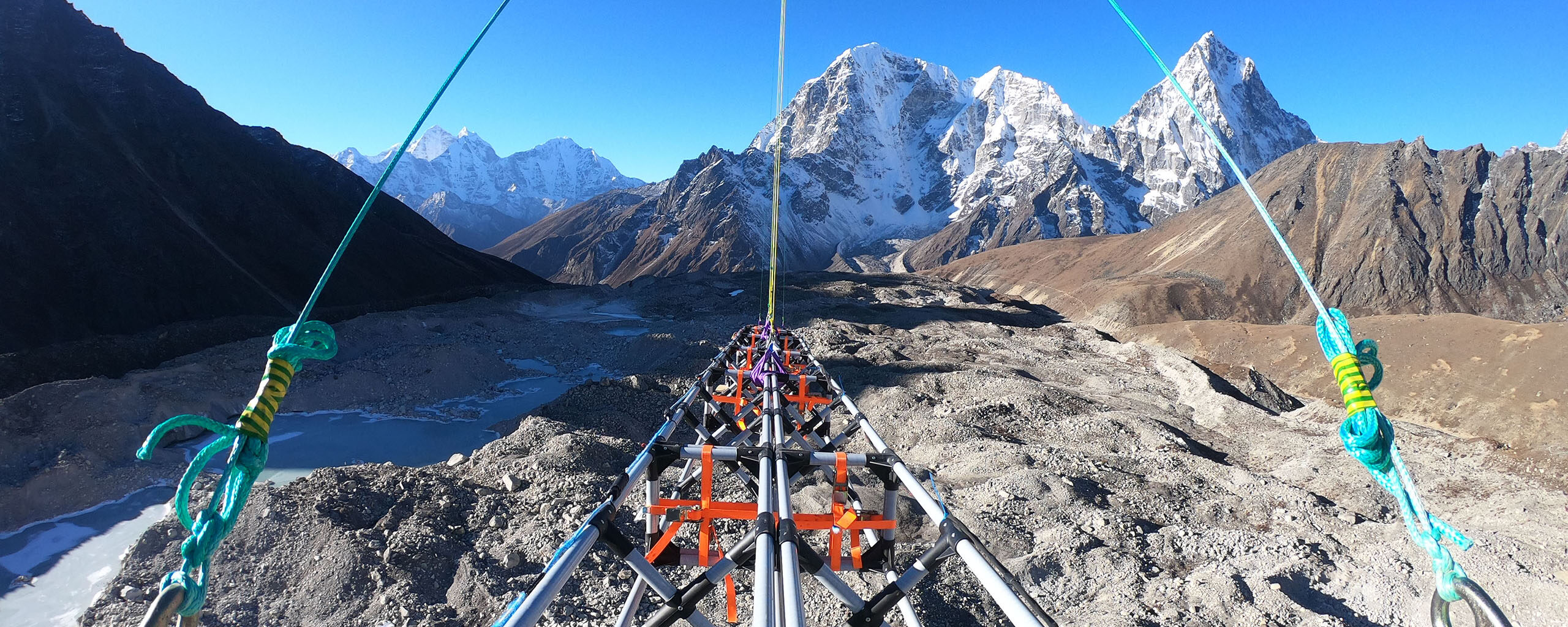
- Airborne radar surveys to measure glacier thickness and water storage.
- Development of a high-resolution regional atmospheric model.
- Analysis of present-day climate and hydrological processes.
- Engagement with policy makers, civil society, and the private sector to address knowledge gaps.
- Undertook a horizon scale to identify the top knowledge priorities on climate change and water in the Upper Indus region.
Who was involved
This project was led by British Antarctic Survey scientists with partners including National Institute of Hydrology, India and The Energy and Resources Institute (TERI), India.
It was supported by the UK Government and applies polar science expertise to address water challenges in one of the most vulnerable regions of the world.
Science objectives
- Quantify water stored in glaciers and snow reserves.
- Improve understanding of precipitation patterns in the Upper Indus Basin.
- Assess impacts of future climate variability on water resources.
- Provide robust scientific evidence for water management and policy.
To deliver a better understanding of present and future water resources in the Upper Indus region by:
- Completing the first glacier-wide measurements of Himalaya ice volume. This will pave the way for comprehensive surveys on the river-catchment scale that will greatly reduce uncertainty in predicted summer river flows.
- Launching various cloud instruments attached to meteorological balloons to investigate cloud microphysical properties. These measurements will help to assess and improve hydro-meteorological modelling/forecasting over the Himalaya.
- Running a high-resolution regional climate model over the Upper Indus Basin for the present-day (last 40 years). This will provide information on the spatial and temporal patterns of precipitation and the atmospheric processes that underpin the hydrological cycle.
- Using global climate model projections with present-day precipitation data to obtain values that are representative of a future climate.
- Undertaking a systematic stakeholder mapping and horizon scanning exercise to inform knowledge needs for future policy and practice in water, climate and development.
-

-

Glacial Processes Satellite
-
Study sets course for research on Himalayan waters
Read more of: Study sets course for research on Himalayan watersA new study featuring contributions from British Antarctic Survey (BAS) scientists has identified 100 pressing research questions on climate change and water resources in the Upper Indus Basin (UIB) that must be answered to protect the communities that live there.