Airborne platforms allow us to study vast, remote areas of the polar regions that would otherwise be inaccessible.
From studying the skies above to peering deep into the ice below, BAS’s airborne science capability is opening new frontiers of discovery. We are delivering vital insights into the Earth’s climate, geology and ecosystems from above.
Vital national capability
British Antarctic Survey uses aircraft and uncrewed aerial vehicles (UAVs, also known as drones).
Our airborne platforms are part of the UK’s national capability programme, ensuring scientists have access to cutting-edge tools for world-class research.
Our team installs, certifies and maintains equipment, helping researchers integrate these platforms into their science
Our aircraft
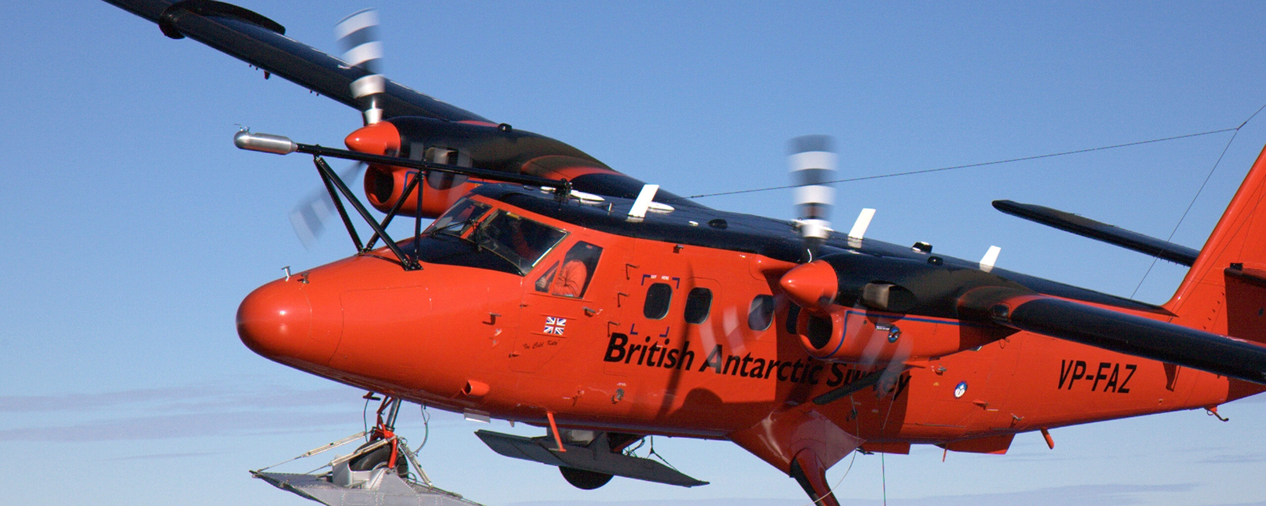
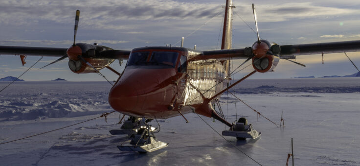
At the heart of our scientific capability is the Twin Otter aircraft – a rugged, flexible plane adapted for scientific missions. Its ability to take off and land on rough airstrips or snowy terrain makes it ideal for polar work.
The aircraft can be fitted with a wide range of scientific instruments depending on the mission. These include sensors for atmospheric research, ice-penetrating radar, magnetometers, gravimeters, LIDAR, hyperspectral cameras and more.
Each setup can be tailored for specific studies. That could be measuring atmospheric turbulence, mapping ice sheet layers, or detecting geological structures beneath the surface.
The ski equipped Twin Otter, seen here at Sky Blu, is a science and operational workhorse (Credit: Pete Bucktrout)
Atmospheric science
For atmospheric science, the Meteorological Airborne Science Instrumentation (MASIN) system provides detailed measurements of:
- temperature
- humidity
- wind
- cloud particles
- radiation
All of these things help our scientists understand weather patterns, climate processes, and how these are changing.
UAVs
UAVs are becoming a powerful tool in the airborne science toolkit and are constantly evolving.
We’re advancing our use of large UAVs like the Windracers Ultra. These uncrewed aircraft can fly long missions carrying a range of scientific instruments.
They are especially useful for smaller, fuel-efficient surveys in difficult-to-reach areas.
Major projects
Research projects like Southern Ocean Clouds and Hungry Humpbacks are using aircraft and UAVs to better understand the polar regions.
Southern Ocean Clouds
Southern Ocean Clouds improves climate models by studying cloud processes over the Southern Ocean to reduce global prediction errors.
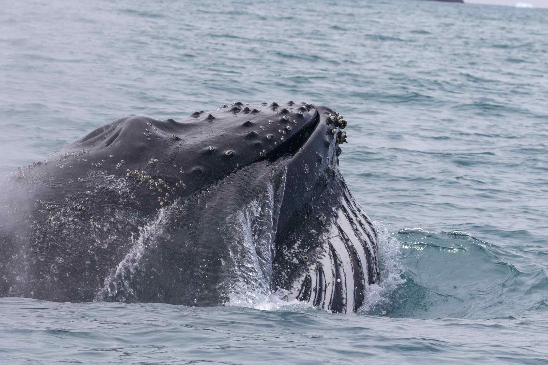
Hungry Humpbacks
Hungry Humpbacks studied how humpback whales, the largest predators of krill in the region, fed at South Georgia.