What lies beneath? Scientists discuss Antarctica’s hidden mountains
Scientists from British Antarctic Survey and institutes around the world discuss ‘what lies beneath the ice’ at the International Symposium of Antarctic Earth Sciences in Edinburgh today (Friday 15 July).
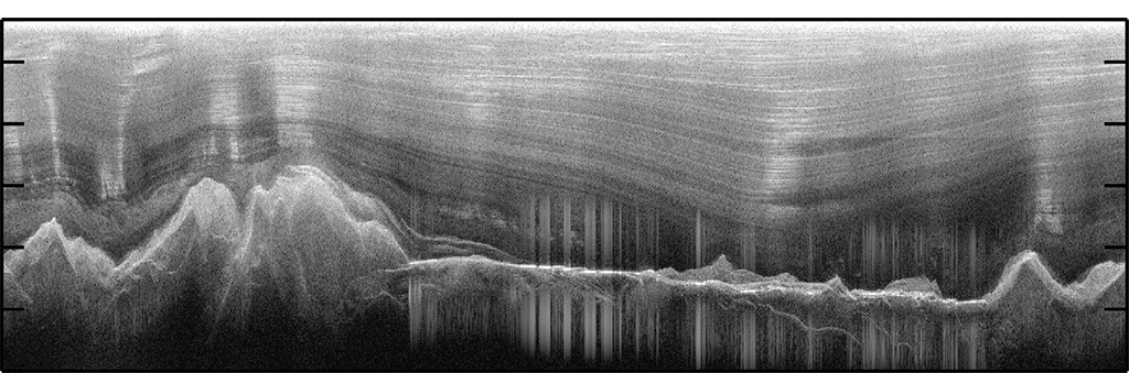
A session: uncovering and unveiling Antarctica will explore the Gamburtsev Sub-glacial Mountains, in the heart of East Antarctica. These were uncovered during the International Polar Year. It was the first time the geology and topography of the sub-glacial mountains, roughly the size of the European Alps, were mapped using a range of airborne geophysical techniques.
The big question about these ice covered mountains is why they exist at all, because, unlike other mountain ranges they lie far from the edge of a tectonic plate, where mountains usually form. New maps will improve knowledge of the protracted geological history of the Gamburtsevs, which stretches back over a billion years (before complex life existed). Understanding this geological history allows scientists to propose a new model of how the Gamburtsevs were formed. As the least understood mountain range on Earth they are critical to the long-term stability of the Antarctic ice sheet.