BAS Polar Estates Maps
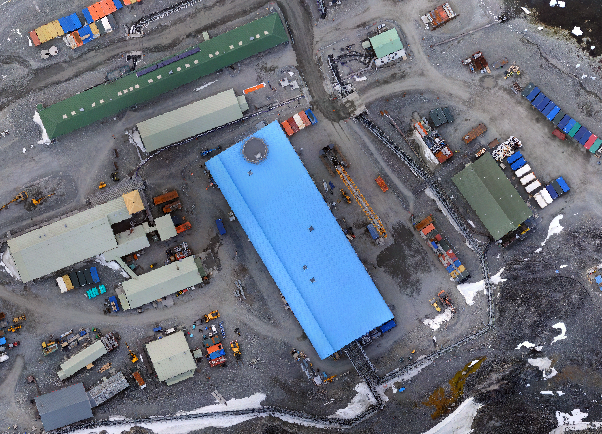
A collection of maps produced for BAS Polar Estates activities.

1 to 12 of 1432 results
A collection of maps produced for BAS Polar Estates activities.
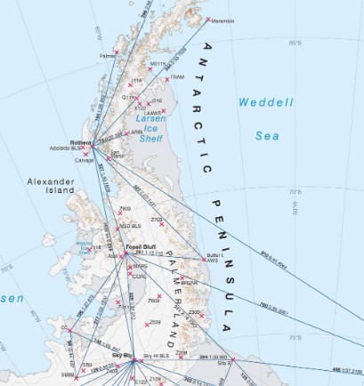
A collection of maps produced for BAS Operations activities by the Mapping and Geographic Information Centre, British Antarctic Survey.
This dataset comprises data from three Biological Soil Crust (BSC) surveys at six sites across the Brogger peninsula, Svalbard. The cover and composition of biological soil crusts were surveyed at […]

Researchers from the University of Calgary and Government of Nunavut, Canada, and from the University of Glasgow, UK, conducted an investigation into muskox mortalities on Ellesmere and Axel Heiberg islands, […]
This data shows the abundance (individuals per m2) and ash-free dry mass (AFDM g/m2) in the years 1998, 2010, 2015, and 2025 at Cheshire Island (1998, 2015, 2025) and South […]
This dataset comprises U-Pb zircon geochronology data from a suite of nine samples from the La Meseta and Submeseta formations of Seymour Island and a further nine samples from comparative […]
This dataset comprises whole-rock geochemistry, U-Pb zircon geochronology, Lu-Hf zircon isotope geochemistry, and K-feldspar Pb isotope geochemistry from a suite of samples from the Read Mountains and Du Toit Nunataks […]
These data describe firn Core S2 recovered from the Brunt Ice Shelf, Antarctica, close to Halley VI Research Station, during January 2024 as part of the RIFT-TIP (Rates of Ice […]
These data represent the nesting densities of chinstrap penguins on Zavodovski Island, South Sandwich Islands 10-13 January 2011. Counts of the number of nesting birds were made within 49 sub-colonies. […]
This dataset provides a continent-wide model of Residual Surface Elevation (RSE) across the grounded Antarctic Ice Sheet. RSE represents kilometre- to regional-scale variations in ice-surface elevation relative to a modelled, […]
This dataset contains spatial data mapping the location of higher predators on Zavodovski Island, South Sandwich Islands. The dataset comprises polygon shapefiles delineating colonies of chinstrap penguins (Pygoscelis antarcticus), macaroni […]
This dataset consists of a single CSV file containing the following organic marker concentrations: 2-methylerythritol, 2-methylglyceric acid, keto-pinic acid, pinic acid, cis-pinonic acid, 3-MBTCA, pinolic acid, cis-norpinonic acid, and nopinone. […]